« Back to Greenfield Community College Rivers
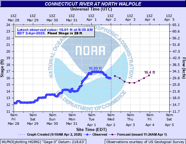
Connecticut River at North Walpole
Critical Stages
26' - Action
28' - Flood
32' - Moderate
35' - Major
Latest Observation
Updated: 9:30 AM EST 12/9/25
Status: No Flooding
Stage: 7.24 ft
Flow: 3.46 kcfs
Forecast
| Time | Stage (ft) | Flow (kcfs) |
|---|---|---|
| 1 PM 12/9 | 7 | 3.1 |
| 7 PM 12/9 | 7 | 3.1 |
| 1 AM 12/10 | 7 | 3.1 |
| 7 AM 12/10 | 6.9 | 2.94 |
| 1 PM 12/10 | 6.9 | 2.94 |
| 7 PM 12/10 | 6.9 | 2.94 |
| 1 AM 12/11 | 6.9 | 2.94 |
| 7 AM 12/11 | 6.9 | 2.94 |
| Time | Stage (ft) | Flow (kcfs) |
|---|---|---|
| 9:30 AM 12/9 | 7.24 | 3.46 |
| 9:15 AM 12/9 | 7.24 | 3.46 |
| 9:00 AM 12/9 | 7.22 | 3.43 |
| 8:45 AM 12/9 | 7.17 | 3.35 |
| 8:30 AM 12/9 | 7.09 | 3.23 |
| 8:15 AM 12/9 | 6.92 | 2.97 |
| 8:00 AM 12/9 | 6.58 | 2.45 |
| 7:45 AM 12/9 | 6.21 | 1.94 |
| 7:30 AM 12/9 | 6.21 | 1.94 |
| 7:15 AM 12/9 | 6.21 | 1.94 |
| 7:00 AM 12/9 | 6.2 | 1.93 |
| 6:45 AM 12/9 | 6.2 | 1.93 |
| 6:30 AM 12/9 | 6.21 | 1.94 |
| 6:15 AM 12/9 | 6.21 | 1.94 |
| 6:01 AM 12/9 | 6.21 | 1.94 |
| 6:00 AM 12/9 | 6.21 | 1.94 |
| 5:45 AM 12/9 | 6.25 | 1.99 |
| 5:30 AM 12/9 | 6.26 | 2 |
| 5:15 AM 12/9 | 6.29 | 2.04 |
| 5:00 AM 12/9 | 6.33 | 2.1 |
| 4:45 AM 12/9 | 6.33 | 2.1 |
| 4:30 AM 12/9 | 6.35 | 2.12 |
| 4:15 AM 12/9 | 6.33 | 2.1 |
| 4:00 AM 12/9 | 6.34 | 2.11 |
| 3:45 AM 12/9 | 6.35 | 2.12 |
| 3:30 AM 12/9 | 6.34 | 2.11 |
| 3:15 AM 12/9 | 6.34 | 2.11 |
| 3:00 AM 12/9 | 6.34 | 2.11 |
| 2:45 AM 12/9 | 6.34 | 2.11 |
| 2:30 AM 12/9 | 6.35 | 2.12 |
52.3' -
Maximum reportable stage of river gage.
38' -
This is a life threatening flood. Flooding of this magnitude has not been experienced since the Great New England Hurricane of 1938.
34' -
Low lying areas along the river from Walpole to Hinsdale are flooded. Roadways bordering the river may be impassable including stretches of Route 5 in southern Vermont.
32' -
Extensive flooding occurs along stretches of Route 5, especially in Westminster, affecting homes and businesses.
31' -
Low lying businesses and residences from Walpole and Westminster to the Massachusetts border experience flooding along the river. Significant flooding occurs along route 5 in Vermont, especially in Westminster. Bridges crossing the river could be shut down. Backwater flooding likely along tributary streams.
29' -
Route 5 is inundated with up to 1 foot of water in sections of Westminster. Minor flooding of some farmland along the river occurs from Walpole south to the Massachusetts border.
28' -
Minor flooding affects low lying areas along the river from Walpole and Westminster downstream to the Massachusetts border. Portions of low lying roads along the river are affected including Route 5 and some adjacent businesses in Westminster. Farming interests along the river could experience flooding.
| Date | Stage (ft) |
|---|---|
| Mar 19, 1936 | 43.8 |
| Sep 22, 1938 | 39.1 |
| Aug 29, 2011 | 31.38 |
| Mar 27, 1953 | 30.37 |
| Apr 5, 1960 | 29.85 |
| Mar 24, 1968 | 29.57 |
| Mar 22, 1948 | 29.55 |
| Apr 1, 1987 | 29.05 |
| Jul 1, 1973 | 28.68 |
| Jul 11, 2023 | 28.22 |
| Apr 2, 1976 | 27.98 |
| May 31, 1984 | 27.82 |
| Apr 4, 1959 | 27.7 |
| Jun 2, 1952 | 27.3 |
| Apr 19, 1969 | 26.99 |
| Mar 14, 1977 | 26.39 |
| Apr 23, 1958 | 26.13 |
| Dec 22, 1973 | 25.84 |
| Apr 18, 1982 | 25.79 |
| Apr 1, 1998 | 25.75 |
Data provided by the National Weather Service.