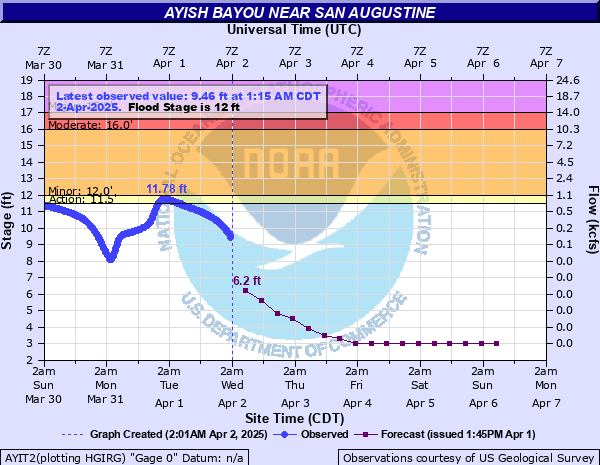
Ayish Bayou near San Augustine
Critical Stages
11.5' - Action
12' - Flood
16' - Moderate
17' - Major
Latest Observation
Updated: 7:15 PM CST 12/8/25
Status: No Flooding
Stage: 3.38 ft
Flow: 0 kcfs
Forecast
Forecast not available for this location.
| Time | Stage (ft) | Flow (kcfs) |
|---|---|---|
| 7:15 PM 12/8 | 3.38 | 0 |
| 7:00 PM 12/8 | 3.38 | 0 |
| 6:45 PM 12/8 | 3.38 | 0 |
| 6:30 PM 12/8 | 3.38 | 0 |
| 6:15 PM 12/8 | 3.38 | 0 |
| 6:00 PM 12/8 | 3.38 | 0 |
| 5:45 PM 12/8 | 3.38 | 0 |
| 5:30 PM 12/8 | 3.38 | 0 |
| 5:15 PM 12/8 | 3.38 | 0 |
| 5:00 PM 12/8 | 3.38 | 0 |
| 4:45 PM 12/8 | 3.38 | 0 |
| 4:30 PM 12/8 | 3.38 | 0 |
| 4:15 PM 12/8 | 3.38 | 0 |
| 4:00 PM 12/8 | 3.38 | 0 |
| 3:45 PM 12/8 | 3.38 | 0 |
| 3:30 PM 12/8 | 3.38 | 0 |
| 3:15 PM 12/8 | 3.38 | 0 |
| 3:00 PM 12/8 | 3.37 | 0 |
| 2:45 PM 12/8 | 3.38 | 0 |
| 2:30 PM 12/8 | 3.37 | 0 |
| 2:15 PM 12/8 | 3.37 | 0 |
| 2:00 PM 12/8 | 3.37 | 0 |
| 1:45 PM 12/8 | 3.37 | 0 |
| 1:30 PM 12/8 | 3.37 | 0 |
| 1:15 PM 12/8 | 3.37 | 0 |
| 1:00 PM 12/8 | 3.36 | 0 |
| 12:45 PM 12/8 | 3.36 | 0 |
| 12:30 PM 12/8 | 3.36 | 0 |
| 12:15 PM 12/8 | 3.36 | 0 |
| 12:00 PM 12/8 | 3.36 | 0 |
17' -
Secondary roads near the bayou will flood and be barricaded. Moderate to severe lowland flooding will continue for at least a couple of days.
14.5' -
Minor lowland flooding of boat ramps.
14' -
Lowland flooding will slowly decrease during the next few days.
12' -
Lowland flooding of the heavily wooded floodplain will continue for the next several days.
| Date | Stage (ft) |
|---|---|
| Mar 30, 2008 | 20.91 |
| Sep 14, 1978 | 18.02 |
| Sep 21, 1958 | 17.5 |
| Aug 30, 2017 | 17.4 |
| May 10, 2021 | 17.02 |
| Apr 9, 1968 | 16.82 |
| Apr 24, 1979 | 16.68 |
| May 18, 1989 | 16.59 |
| Apr 30, 2021 | 16.34 |
| Mar 9, 2016 | 15.85 |
| Dec 8, 2018 | 15.78 |
| Jan 19, 1979 | 15.37 |
| Dec 10, 1983 | 15.16 |
| Apr 18, 1991 | 15.15 |
| Nov 25, 1986 | 15.09 |
| Oct 17, 1994 | 14.96 |
| Mar 29, 2018 | 14.56 |
| Mar 12, 2012 | 14.5 |
| Apr 18, 1959 | 14.5 |
| Jun 4, 2017 | 14.31 |
Data provided by the National Weather Service.