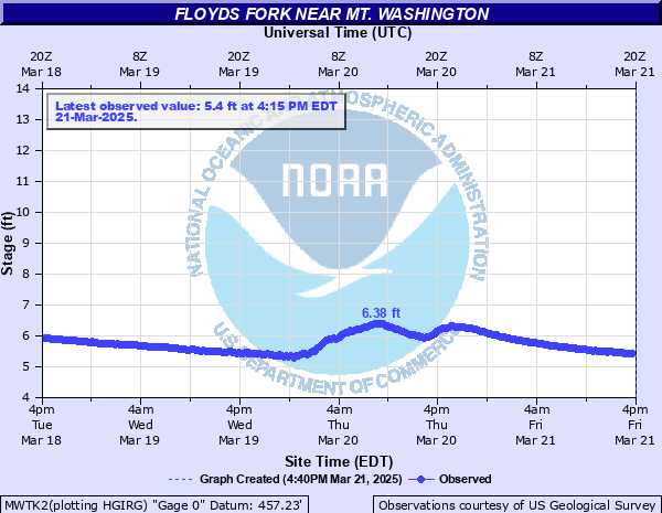
Floyds Fork near Mt. Washington
Critical Stages
Action
Flood
Moderate
Major
Latest Observation
Updated: 11:15 PM EST 12/14/25
Status: Not Defined
Stage: 4.67 ft
Flow: -999 kcfs
Forecast
Forecast not available for this location.
| Time | Stage (ft) | Flow (kcfs) |
|---|---|---|
| 11:15 PM 12/14 | 4.67 | -999 |
| 11:00 PM 12/14 | 4.68 | -999 |
| 10:45 PM 12/14 | 4.68 | -999 |
| 10:30 PM 12/14 | 4.68 | -999 |
| 10:15 PM 12/14 | 4.68 | -999 |
| 10:00 PM 12/14 | 4.69 | -999 |
| 9:45 PM 12/14 | 4.69 | -999 |
| 9:30 PM 12/14 | 4.69 | -999 |
| 9:15 PM 12/14 | 4.69 | -999 |
| 9:00 PM 12/14 | 4.69 | -999 |
| 8:45 PM 12/14 | 4.69 | -999 |
| 8:30 PM 12/14 | 4.69 | -999 |
| 8:15 PM 12/14 | 4.69 | -999 |
| 8:00 PM 12/14 | 4.69 | -999 |
| 7:45 PM 12/14 | 4.69 | -999 |
| 7:30 PM 12/14 | 4.69 | -999 |
| 7:15 PM 12/14 | 4.69 | -999 |
| 7:00 PM 12/14 | 4.69 | -999 |
| 6:45 PM 12/14 | 4.69 | -999 |
| 6:30 PM 12/14 | 4.69 | -999 |
| 6:15 PM 12/14 | 4.7 | -999 |
| 6:00 PM 12/14 | 4.7 | -999 |
| 5:45 PM 12/14 | 4.7 | -999 |
| 5:30 PM 12/14 | 4.7 | -999 |
| 5:15 PM 12/14 | 4.7 | -999 |
| 5:00 PM 12/14 | 4.7 | -999 |
| 4:45 PM 12/14 | 4.7 | -999 |
| 4:30 PM 12/14 | 4.7 | -999 |
| 4:15 PM 12/14 | 4.7 | -999 |
| 4:00 PM 12/14 | 4.7 | -999 |
39' -
Surface of bridge floods.
| Date | Stage (ft) |
|---|---|
| Apr 3, 2015 | 25.03 |
| Sep 25, 2006 | 22.4 |
| Jan 24, 2002 | 19.65 |
| Feb 28, 2021 | 19.46 |
| May 20, 2005 | 18.36 |
| Dec 16, 2000 | 17.8 |
| Dec 20, 2002 | 17.78 |
Data provided by the National Weather Service.