« Back to Highland Heights Rivers
Licking River at Blue Licks Spring
Critical Stages
23' - Action
25' - Flood
42' - Moderate
45' - Major
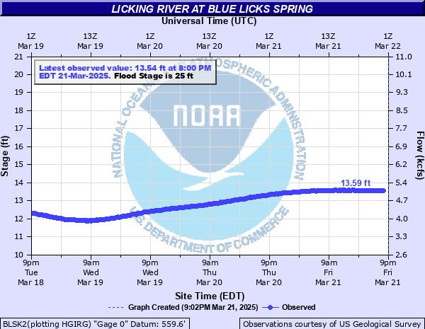
Latest Observation
Updated: 1:00 PM EST 12/15/25
Status: No Flooding
Stage: 7.69 ft
Flow: 1.24 kcfs
Forecast
Forecast not available for this location.
| Time | Stage (ft) | Flow (kcfs) |
|---|---|---|
| 2:00 PM 12/15 | 7.71 | 1.26 |
| 1:45 PM 12/15 | 7.7 | 1.25 |
| 1:30 PM 12/15 | 7.7 | 1.25 |
| 1:15 PM 12/15 | 7.7 | 1.25 |
| 1:00 PM 12/15 | 7.69 | 1.24 |
| 12:45 PM 12/15 | 7.69 | 1.24 |
| 12:30 PM 12/15 | 7.69 | 1.24 |
| 12:15 PM 12/15 | 7.7 | 1.25 |
| 12:00 PM 12/15 | 7.7 | 1.25 |
| 11:45 AM 12/15 | 7.71 | 1.26 |
| 11:30 AM 12/15 | 7.71 | 1.26 |
| 11:15 AM 12/15 | 7.71 | 1.26 |
| 11:00 AM 12/15 | 7.71 | 1.26 |
| 10:45 AM 12/15 | 7.72 | 1.26 |
| 10:30 AM 12/15 | 7.72 | 1.26 |
| 10:15 AM 12/15 | 7.72 | 1.26 |
| 10:00 AM 12/15 | 7.72 | 1.26 |
| 9:45 AM 12/15 | 7.73 | 1.27 |
| 9:30 AM 12/15 | 7.73 | 1.27 |
| 9:15 AM 12/15 | 7.73 | 1.27 |
| 9:00 AM 12/15 | 7.74 | 1.27 |
| 8:45 AM 12/15 | 7.75 | 1.28 |
| 8:30 AM 12/15 | 7.74 | 1.27 |
| 8:15 AM 12/15 | 7.75 | 1.28 |
| 8:00 AM 12/15 | 7.76 | 1.29 |
| 7:45 AM 12/15 | 7.75 | 1.28 |
| 7:30 AM 12/15 | 7.77 | 1.29 |
| 7:15 AM 12/15 | 7.76 | 1.29 |
| 7:00 AM 12/15 | 7.78 | 1.3 |
| 6:45 AM 12/15 | 7.78 | 1.3 |
47.6' -
All low areas in and near Blue Licks Spring are flooded.
45' -
Water reaches surface of old KY 68 bridge over the Licking River.
42' -
Homes in and near Blue Licks Spring have water in the first floor.
25' -
Cropland flooding begins.
| Date | Stage (ft) |
|---|---|
| Mar 3, 1997 | 47.6 |
| Jan 1, 1937 | 47.4 |
| Apr 13, 1948 | 45 |
| Feb 16, 1989 | 41.4 |
| Mar 10, 1964 | 41.2 |
| May 5, 2010 | 40.96 |
| Apr 6, 2025 | 40.43 |
| Feb 3, 1950 | 40.2 |
| Dec 9, 1978 | 39.5 |
| Mar 2, 1962 | 39.45 |
| Mar 6, 1945 | 39.1 |
| Jan 6, 1950 | 38.8 |
| Jan 1, 1844 | 38.6 |
| Mar 19, 1943 | 38 |
| Feb 19, 2000 | 37.7 |
| May 6, 2003 | 36.99 |
| Jun 21, 1950 | 36.6 |
| Jan 12, 1974 | 36.58 |
| Feb 3, 1939 | 36.4 |
| Apr 22, 1972 | 36.3 |
Data provided by the National Weather Service.