« Back to Highland Heights Rivers
South Fork Licking River at Cynthiana
Critical Stages
16' - Action
20' - Flood
22' - Moderate
23' - Major
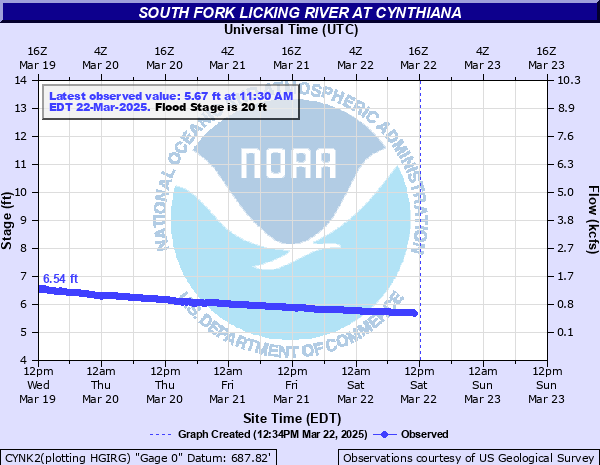
Latest Observation
Updated: 1:30 PM EST 12/15/25
Status: No Flooding
Stage: 5.71 ft
Flow: 0.595 kcfs
Forecast
| Time | Stage (ft) | Flow (kcfs) |
|---|---|---|
| 7 PM 12/15 | 5.3 | 0.303 |
| 1 AM 12/16 | 5.3 | 0.303 |
| 7 AM 12/16 | 5.3 | 0.303 |
| 1 PM 12/16 | 5.2 | 0.234 |
| 7 PM 12/16 | 5.2 | 0.234 |
| 1 AM 12/17 | 5.2 | 0.234 |
| 7 AM 12/17 | 5.2 | 0.234 |
| 1 PM 12/17 | 5.2 | 0.234 |
| 7 PM 12/17 | 5.3 | 0.303 |
| 1 AM 12/18 | 5.4 | 0.367 |
| 7 AM 12/18 | 5.5 | 0.439 |
| 1 PM 12/18 | 5.7 | 0.587 |
| 7 PM 12/18 | 5.9 | 0.743 |
| 1 AM 12/19 | 6 | 0.825 |
| 7 AM 12/19 | 6 | 0.825 |
| 1 PM 12/19 | 6 | 0.825 |
| 7 PM 12/19 | 6 | 0.825 |
| 1 AM 12/20 | 5.9 | 0.743 |
| 7 AM 12/20 | 5.8 | 0.665 |
| Time | Stage (ft) | Flow (kcfs) |
|---|---|---|
| 1:30 PM 12/15 | 5.71 | 0.595 |
| 1:15 PM 12/15 | 5.7 | 0.587 |
| 1:00 PM 12/15 | 5.69 | 0.579 |
| 12:45 PM 12/15 | 5.67 | 0.564 |
| 12:30 PM 12/15 | 5.65 | 0.548 |
| 12:15 PM 12/15 | 5.64 | 0.541 |
| 12:00 PM 12/15 | 5.63 | 0.533 |
| 11:45 AM 12/15 | 5.62 | 0.526 |
| 11:30 AM 12/15 | 5.61 | 0.518 |
| 11:15 AM 12/15 | 5.6 | 0.511 |
| 11:00 AM 12/15 | 5.6 | 0.511 |
| 10:45 AM 12/15 | 5.59 | 0.504 |
| 10:30 AM 12/15 | 5.59 | 0.504 |
| 10:15 AM 12/15 | 5.59 | 0.504 |
| 10:00 AM 12/15 | 5.59 | 0.504 |
| 9:45 AM 12/15 | 5.6 | 0.511 |
| 9:30 AM 12/15 | 5.6 | 0.511 |
| 9:15 AM 12/15 | 5.6 | 0.511 |
| 9:00 AM 12/15 | 5.61 | 0.518 |
| 8:45 AM 12/15 | 5.61 | 0.518 |
| 8:30 AM 12/15 | 5.62 | 0.526 |
| 8:15 AM 12/15 | 5.62 | 0.526 |
| 8:00 AM 12/15 | 5.63 | 0.533 |
| 7:45 AM 12/15 | 5.63 | 0.533 |
| 7:30 AM 12/15 | 5.64 | 0.541 |
| 7:15 AM 12/15 | 5.65 | 0.548 |
| 7:00 AM 12/15 | 5.65 | 0.548 |
| 6:45 AM 12/15 | 5.66 | 0.556 |
| 6:30 AM 12/15 | 5.67 | 0.564 |
| 6:15 AM 12/15 | 5.68 | 0.571 |
28.5' -
Much of western and a large part of southern Cynthiana is flooded. Water is 3 feet deep in western business district. KY 356 bridge is closed.
27' -
KY 356 bridge floods.
26' -
A large section of US 27 is closed one quater mile north of town. Town is cutoff.
25' -
Approaches to KY 356 bridge are flooded.
24' -
Water enters some businesses. Sections of US 62, US 27, KY 36 south and west of town flood.
23' -
Some homes on west side of town flood.
22' -
Intersections of Pearl and Locust, Poplar and Penn, and Poplar and Cromwell Alley flood. KY 36 (Pleasant Street) between Locust and W. Pike flood. KY 983 before Infirmary Road floods.
21' -
Intersection of Louis Stout Way and Newsome Avenue floods.
20' -
A large section of city park floods. Water begins to back up in some streets in west side of town.
19' -
Several roads are closed outside of city limits.
16' -
River Road is blocked. Riverside park floods.
| Date | Stage (ft) |
|---|---|
| Mar 3, 1997 | 28.53 |
| Apr 13, 1948 | 23.32 |
| Feb 16, 1989 | 23.02 |
| Dec 10, 1978 | 22.99 |
| Apr 5, 2015 | 22.98 |
| Jan 24, 1922 | 22.6 |
| Mar 5, 1964 | 22.59 |
| May 20, 2020 | 22.4 |
| Dec 7, 1919 | 22.3 |
| Apr 13, 2011 | 21.98 |
| May 4, 2010 | 21.92 |
| Apr 6, 2025 | 21.77 |
| Sep 22, 1979 | 21.4 |
| Mar 19, 1943 | 21.4 |
| Nov 2, 1919 | 21.4 |
| May 19, 1995 | 21.2 |
| Jan 22, 1927 | 21.2 |
| Mar 27, 1913 | 21 |
| Jan 6, 1950 | 20.8 |
| Dec 8, 1924 | 20.6 |
Data provided by the National Weather Service.