near Gunlock
Critical Stages
4.9' - Action
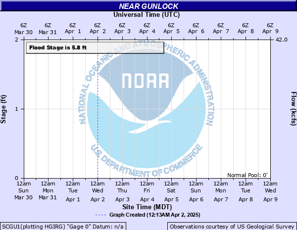
5.8' - Flood
6.2' - Moderate
6.5' - Major
Latest Observation
Updated: 5:00 PM LMT 12/31/00
Status: Obs Not Current
Stage: -999 ft
Flow: -999 kcfs
Forecast
Forecast not available for this location.
Observation history not available.
6.5' -
At 6.5 ft, the Santa Clara River at Gunlock will destroy temporary structures in and around the town of Gunlock.
6.2' -
At 6.2 ft, the Santa Clara River at Gunlock will damage temporary culverts and roads in and around the town of Gunlock.
5.8' -
At 5.8 ft, the Santa Clara River at Gunlock will flood areas of the towns of Gunlock and Ivins as well as downstream areas below Gunlock Reservoir. This includes campgrounds and roads that pass near the river.
| Date | Stage (ft) |
|---|---|
| Aug 1, 2007 | 14.2 |
| Jan 10, 2005 | 10.2 |
| Sep 3, 1997 | 7.47 |
| Sep 9, 2004 | 6.37 |
| Feb 14, 1980 | 5.74 |
| Mar 3, 1983 | 5.71 |
| Jan 18, 1993 | 5.58 |
| Feb 24, 1998 | 5.33 |
| Sep 7, 1991 | 4.74 |
| Feb 13, 1992 | 4.5 |
| Aug 15, 1974 | 4.07 |
| Oct 30, 2000 | 4.02 |
| Sep 8, 2002 | 3.93 |
| Aug 15, 1990 | 3.8 |
| Aug 7, 1999 | 3.79 |
| May 17, 2003 | 3.71 |
| Feb 18, 1994 | 3.6 |
| Nov 1, 1995 | 2.24 |
Data provided by the National Weather Service.