Delaware River at Tocks Island
Critical Stages
20' - Action
21' - Flood
23' - Moderate
25' - Major
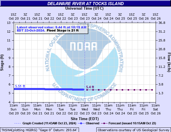
Latest Observation
Updated: 9:15 AM EST 12/6/25
Status: No Flooding
Stage: 5.11 ft
Flow: 1.52 kcfs
Forecast
| Time | Stage (ft) | Flow (kcfs) |
|---|---|---|
| 1 PM 12/6 | 5.2 | 1.69 |
| 7 PM 12/6 | 5.2 | 1.69 |
| 1 AM 12/7 | 5.2 | 1.69 |
| 7 AM 12/7 | 5.2 | 1.69 |
| 1 PM 12/7 | 5.1 | 1.5 |
| 7 PM 12/7 | 5.1 | 1.5 |
| 1 AM 12/8 | 5.1 | 1.5 |
| 7 AM 12/8 | 5.1 | 1.5 |
| Time | Stage (ft) | Flow (kcfs) |
|---|---|---|
| 9:15 AM 12/6 | 5.11 | 1.52 |
| 9:00 AM 12/6 | 5.11 | 1.52 |
| 8:45 AM 12/6 | 5.11 | 1.52 |
| 8:30 AM 12/6 | 5.11 | 1.52 |
| 8:15 AM 12/6 | 5.11 | 1.52 |
| 8:00 AM 12/6 | 5.11 | 1.52 |
| 7:45 AM 12/6 | 5.11 | 1.52 |
| 7:30 AM 12/6 | 5.11 | 1.52 |
| 7:15 AM 12/6 | 5.11 | 1.52 |
| 7:00 AM 12/6 | 5.11 | 1.52 |
| 6:45 AM 12/6 | 5.12 | 1.54 |
| 6:30 AM 12/6 | 5.12 | 1.54 |
| 6:15 AM 12/6 | 5.11 | 1.52 |
| 6:00 AM 12/6 | 5.12 | 1.54 |
| 5:45 AM 12/6 | 5.12 | 1.54 |
| 5:30 AM 12/6 | 5.12 | 1.54 |
| 5:15 AM 12/6 | 5.12 | 1.54 |
| 5:00 AM 12/6 | 5.13 | 1.56 |
| 4:45 AM 12/6 | 5.13 | 1.56 |
| 4:30 AM 12/6 | 5.13 | 1.56 |
| 4:15 AM 12/6 | 5.13 | 1.56 |
| 4:00 AM 12/6 | 5.13 | 1.56 |
| 3:45 AM 12/6 | 5.14 | 1.57 |
| 3:30 AM 12/6 | 5.14 | 1.57 |
| 3:15 AM 12/6 | 5.15 | 1.59 |
| 3:00 AM 12/6 | 5.15 | 1.59 |
| 2:45 AM 12/6 | 5.15 | 1.59 |
| 2:30 AM 12/6 | 5.15 | 1.59 |
| 2:15 AM 12/6 | 5.15 | 1.59 |
| 2:00 AM 12/6 | 5.15 | 1.59 |
30' -
All delaware water gap recreation resources are impacted, including natural and cultural resources, archeological sites, visitor use facilities, and infrastructure such as roads, bridges, and utilities.
25' -
Campsites in Worthington State Forest in New Jersey flood.
23' -
Route 209 is closed.
22' -
Many local roads that connect to Route 209, River Road, and other park roads are closed.
21' -
Approach roads to the Shawnee Inn flood. Route 209 begins to flood.
| Date | Stage (ft) |
|---|---|
| Aug 19, 1955 | 37.4 |
| Jun 28, 2006 | 33.87 |
| Apr 3, 2005 | 33.24 |
| Sep 19, 2004 | 30.34 |
| Jan 20, 1996 | 28.4 |
| Sep 9, 2011 | 24.95 |
| Mar 16, 1986 | 24 |
| Jun 30, 1973 | 23.819999694824 |
| Aug 29, 2011 | 23.21 |
| Mar 12, 2011 | 22.88 |
| May 30, 1984 | 21.77 |
| Mar 7, 2011 | 20.54 |
| Jan 25, 2018 | 20.08 |
| Jun 24, 1972 | 17.31 |
Data provided by the National Weather Service.