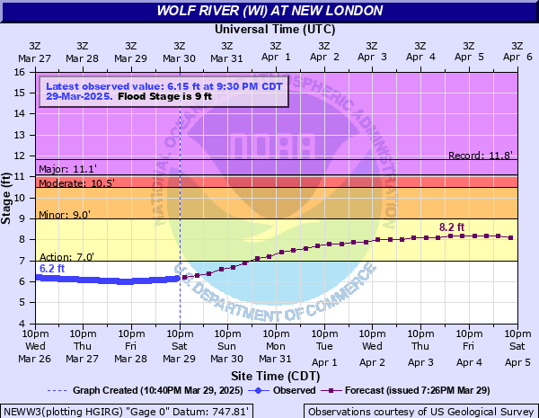
Wolf River (WI) at New London
Critical Stages
7' - Action
9' - Flood
10.5' - Moderate
11.1' - Major
Latest Observation
Updated: 4:30 AM CST 12/8/25
Status: No Flooding
Stage: 2.41 ft
Flow: 1.27 kcfs
Forecast
Forecast not available for this location.
| Time | Stage (ft) | Flow (kcfs) |
|---|---|---|
| 4:30 AM 12/8 | 2.41 | 1.27 |
| 4:15 AM 12/8 | 2.41 | 1.27 |
| 4:00 AM 12/8 | 2.41 | 1.27 |
| 3:45 AM 12/8 | 2.41 | 1.27 |
| 3:30 AM 12/8 | 2.4 | 1.26 |
| 3:15 AM 12/8 | 2.4 | 1.26 |
| 3:00 AM 12/8 | 2.4 | 1.26 |
| 2:45 AM 12/8 | 2.4 | 1.26 |
| 2:30 AM 12/8 | 2.4 | 1.26 |
| 2:15 AM 12/8 | 2.39 | 1.26 |
| 2:00 AM 12/8 | 2.39 | 1.26 |
| 1:45 AM 12/8 | 2.39 | 1.26 |
| 1:30 AM 12/8 | 2.39 | 1.26 |
| 1:15 AM 12/8 | 2.39 | 1.26 |
| 1:00 AM 12/8 | 2.39 | 1.26 |
| 12:45 AM 12/8 | 2.39 | 1.26 |
| 12:30 AM 12/8 | 2.38 | 1.26 |
| 12:15 AM 12/8 | 2.38 | 1.26 |
| 12:00 AM 12/8 | 2.39 | 1.26 |
| 11:45 PM 12/7 | 2.38 | 1.26 |
| 11:30 PM 12/7 | 2.38 | 1.26 |
| 11:15 PM 12/7 | 2.38 | 1.26 |
| 11:00 PM 12/7 | 2.38 | 1.26 |
| 10:45 PM 12/7 | 2.37 | 1.25 |
| 10:30 PM 12/7 | 2.37 | 1.25 |
| 10:15 PM 12/7 | 2.37 | 1.25 |
| 10:00 PM 12/7 | 2.37 | 1.25 |
| 9:45 PM 12/7 | 2.37 | 1.25 |
| 9:30 PM 12/7 | 2.37 | 1.25 |
| 9:15 PM 12/7 | 2.36 | 1.25 |
12.6' -
Water is near the bottom of the Pearl Street bridge in New London. Floodwaters have spread into large sections of the city of New London, likely reaching Waupaca Street, North Street and South Wood Lane.
12.1' -
Water reaches the bottom of the railroad bridge in New London. Flood waters are spreading into portions of North Waters Street and East River Avenue.
12' -
Widespread flooding of shoreline property is occurring from the New London area to Lake Poygan. Water reaches the top of the retaining wall in New London.
11' -
Up to a foot of water may be covering portions of West Wolf River Avenue or Highway X near and west of New London.
10.1' -
Floodwaters begin to cover portions of West Wolf River Avenue downstream of New London. Widespread lowland flooding is occurring from New London to Fremont.
9.5' -
Up to a foot of water is surrounding structures along West River Drive in Fremont. Several inches of floodwater begins to cover portions of Burton Road near Pheifer Park. Water is approaching portions of West Wolf Avenue near New London.
9' -
Flooding affects occur downstream of New London. Several inches of floodwaters surround sheds and garages in lowland areas along Wolf River Drive in Fremont. There is widespread lowland flooding downstream of New London.
8.5' -
Flooding affects mainly wooded lowland. Water is approaching some sheds and garages along Wolf River Drive in Fremont.
8' -
Flooding affects confined to lowland regions adjacent to the river.
7' -
There is minor lowland flooding.
| Date | Stage (ft) |
|---|---|
| Apr 3, 1979 | 11.83 |
| Apr 13, 1922 | 11.4 |
| Mar 16, 1973 | 11.22 |
| Apr 5, 1952 | 11 |
| May 12, 1960 | 10.52 |
| Apr 1, 1976 | 10.45 |
| Apr 23, 2019 | 10.37 |
| Mar 29, 1986 | 10.13 |
| Jun 23, 1996 | 10.11 |
| Jun 25, 1993 | 10.03 |
| Apr 2, 2020 | 9.98 |
| Apr 4, 1967 | 9.94 |
| Apr 3, 2020 | 9.91 |
| Apr 2, 1943 | 9.9 |
| Apr 9, 2023 | 9.85 |
| Apr 14, 1951 | 9.82 |
| Mar 24, 1938 | 9.8 |
| Mar 26, 1953 | 9.8 |
| Mar 29, 1939 | 9.8 |
| Apr 25, 1972 | 9.76 |
Data provided by the National Weather Service.