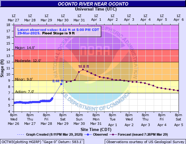
Oconto River near Oconto
Critical Stages
7' - Action
9' - Flood
12' - Moderate
14' - Major
Latest Observation
Updated: 4:00 AM CST 12/8/25
Status: No Flooding
Stage: 4.32 ft
Flow: 0.279 kcfs
Forecast
Forecast not available for this location.
| Time | Stage (ft) | Flow (kcfs) |
|---|---|---|
| 4:00 AM 12/8 | 4.32 | 0.279 |
| 3:45 AM 12/8 | 4.26 | 0.255 |
| 3:30 AM 12/8 | 4.18 | 0.224 |
| 3:15 AM 12/8 | 4.11 | 0.198 |
| 3:00 AM 12/8 | 4.05 | 0.178 |
| 2:45 AM 12/8 | 4.02 | 0.168 |
| 2:30 AM 12/8 | 4.01 | 0.165 |
| 2:15 AM 12/8 | 4.02 | 0.168 |
| 2:00 AM 12/8 | 4.06 | 0.181 |
| 1:45 AM 12/8 | 4.1 | 0.195 |
| 1:30 AM 12/8 | 4.14 | 0.209 |
| 1:15 AM 12/8 | 4.19 | 0.228 |
| 1:00 AM 12/8 | 4.23 | 0.243 |
| 12:45 AM 12/8 | 4.28 | 0.263 |
| 12:30 AM 12/8 | 4.32 | 0.279 |
| 12:15 AM 12/8 | 4.36 | 0.296 |
| 12:00 AM 12/8 | 4.4 | 0.313 |
| 11:45 PM 12/7 | 4.42 | 0.322 |
| 11:30 PM 12/7 | 4.45 | 0.335 |
| 11:15 PM 12/7 | 4.47 | 0.344 |
| 11:00 PM 12/7 | 4.45 | 0.335 |
| 10:45 PM 12/7 | 4.41 | 0.317 |
| 10:30 PM 12/7 | 4.38 | 0.304 |
| 10:15 PM 12/7 | 4.3 | 0.271 |
| 10:00 PM 12/7 | 4.23 | 0.243 |
| 9:45 PM 12/7 | 4.18 | 0.224 |
| 9:30 PM 12/7 | 4.15 | 0.213 |
| 9:15 PM 12/7 | 4.13 | 0.206 |
| 9:00 PM 12/7 | 4.1 | 0.195 |
| 8:45 PM 12/7 | 4.11 | 0.198 |
16' -
About a foot of water is likely covering Highway 41 in the city of Oconto adjacent to the river.
15' -
Water begins to spread over Highway 41 adjacent to the river in Oconto. Widespread agricultural flooding is occurring.
14.5' -
In the city of Oconto water reaches the intersection of Park Avenue and Adams Street. Widespread agricultural land and lowland is flooded.
14' -
Water reaches portions of Adams Street and Pecor Street near the Cruisers buildings. Widespread flooding is occurring over agricultural land and lowland.
13' -
A campground and park are under several feet of water. Water approaches homes on Farnsworth Street and Holtwood Way. There is widespread moderate flooding of lowland and agricultural land.
11' -
Up to 2 feet of water is covering a campground in Oconto. Floodwaters begin to reach city streets adjacent to the river.
10' -
Up to a foot of water surrounds structures in a campground in the City of Oconto.
9' -
Floodwaters begin to spread into a public campground in the City of Oconto. Water approaches the backyards of several homes along the river in Oconto and there is widespread lowland flooding.
8.5' -
Floodwaters mainly impact wooded lowland. Water approaches structures in a public campground in the City of Oconto.
7' -
Water approaches a public campground in the City of Oconto and there is flooding of lowland.
| Date | Stage (ft) |
|---|---|
| Apr 21, 1952 | 14.53 |
| Apr 15, 1986 | 14.51 |
| Mar 29, 2004 | 13.24 |
| Apr 19, 2019 | 11.89 |
| Mar 13, 1990 | 11.24 |
| Mar 28, 1989 | 10.91 |
| Mar 29, 2020 | 10.73 |
| May 7, 2023 | 10.51 |
| Mar 31, 1998 | 10.47 |
| Apr 5, 2023 | 10.26 |
| Apr 17, 2003 | 10.22 |
| May 14, 2022 | 10.19 |
| Jun 15, 2017 | 10.03 |
| Dec 15, 2015 | 9.82 |
| Mar 17, 2016 | 9.75 |
| Jun 23, 1990 | 9.65 |
| May 19, 2020 | 9.55 |
| Jul 8, 2010 | 9.45 |
| Apr 27, 2011 | 9.33 |
| Jun 27, 2016 | 9.27 |
Data provided by the National Weather Service.