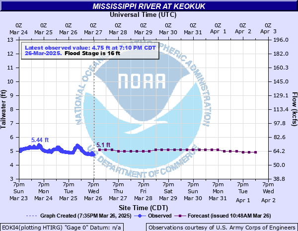
Mississippi River at Keokuk
Critical Stages
14' - Action
16' - Flood
17.5' - Moderate
19' - Major
Latest Observation
Updated: 10:10 AM CST 12/11/25
Status: No Flooding
Stage: 3.11 ft
Flow: 39.6 kcfs
Forecast
| Time | Stage (ft) | Flow (kcfs) |
|---|---|---|
| 6 PM 12/15 | 3.7 | 46.1 |
| 12 AM 12/16 | 3.1 | 39.6 |
| 6 AM 12/16 | 2.9 | 38.1 |
| 12 PM 12/16 | 3 | 38.8 |
| 6 PM 12/16 | 3.4 | 42.3 |
| 12 AM 12/17 | 3 | 38.8 |
| 6 AM 12/17 | 2.9 | 38.1 |
| 12 PM 12/17 | 3 | 38.8 |
| 6 PM 12/17 | 3.3 | 41 |
| 12 AM 12/18 | 3 | 38.8 |
| 6 AM 12/18 | 2.8 | 37.3 |
| 12 PM 12/18 | 3 | 38.8 |
| 6 PM 12/18 | 3.3 | 41 |
| 12 AM 12/19 | 3 | 38.8 |
| 6 AM 12/19 | 2.8 | 37.3 |
| 12 PM 12/19 | 3 | 38.8 |
| 6 PM 12/19 | 3.3 | 41 |
| 12 AM 12/20 | 3 | 38.8 |
| 6 AM 12/20 | 2.8 | 37.3 |
| 12 PM 12/20 | 3 | 38.8 |
| 6 PM 12/20 | 3.4 | 42.3 |
| 12 AM 12/21 | 3 | 38.8 |
| 6 AM 12/21 | 2.8 | 37.3 |
| 12 PM 12/21 | 3 | 38.8 |
| 6 PM 12/21 | 3.3 | 41 |
| 12 AM 12/22 | 3 | 38.8 |
| 6 AM 12/22 | 2.8 | 37.3 |
| Time | Stage (ft) | Flow (kcfs) |
|---|---|---|
| 3:30 PM 12/15 | -9999 | -999 |
| 3:20 PM 12/15 | -9999 | -999 |
| 3:00 PM 12/15 | -9999 | -999 |
| 2:50 PM 12/15 | -9999 | -999 |
| 2:30 PM 12/15 | -9999 | -999 |
| 2:20 PM 12/15 | -9999 | -999 |
| 2:00 PM 12/15 | -9999 | -999 |
| 1:50 PM 12/15 | -9999 | -999 |
| 1:30 PM 12/15 | -9999 | -999 |
| 1:20 PM 12/15 | -9999 | -999 |
| 1:00 PM 12/15 | -9999 | -999 |
| 12:50 PM 12/15 | -9999 | -999 |
| 12:30 PM 12/15 | -9999 | -999 |
| 12:20 PM 12/15 | -9999 | -999 |
| 12:00 PM 12/15 | -9999 | -999 |
| 11:50 AM 12/15 | -9999 | -999 |
| 11:30 AM 12/15 | -9999 | -999 |
| 11:20 AM 12/15 | -9999 | -999 |
| 11:00 AM 12/15 | -9999 | -999 |
| 10:50 AM 12/15 | -9999 | -999 |
| 10:30 AM 12/15 | -9999 | -999 |
| 10:20 AM 12/15 | -9999 | -999 |
| 10:00 AM 12/15 | -9999 | -999 |
| 9:50 AM 12/15 | -9999 | -999 |
| 9:30 AM 12/15 | -9999 | -999 |
| 9:20 AM 12/15 | -9999 | -999 |
| 9:00 AM 12/15 | -9999 | -999 |
| 8:50 AM 12/15 | -9999 | -999 |
| 8:30 AM 12/15 | -9999 | -999 |
| 8:20 AM 12/15 | -9999 | -999 |
30' -
Water reaches the top of the Keokuk city levee that protects industrial area along Mississippi Drive south of Victory Park.
27' -
Water affects residences in Nauvoo and reaches the top of the levee protecting the historical Nauvoo House.
25.5' -
Water affects the railroad tracks in downtown Keokuk.
24' -
Water affects low lying buildings in Hamilton and affects U.S. Highway 136 near the Mississippi River bridge. Water also affects Keokuks sewage treatment plant.
23' -
Water affects Illinois Highway 96 between Nauvoo and Hamilton.
22' -
Water affects the Warsaw water treatment plant.
21.2' -
Lock and Dam 19 is closed.
21' -
Water affects Keokuks Victory Drive.
20' -
Water affects the industrial area in Keokuk south of the city levee and affects the parking lot at Victory Park as well as much of the park. In Alexandria, water affects U.S. Highway 61 in several places.
19.5' -
Water reaches critical stage for Des Moines and Mississippi Levee District Number 1.
19' -
Water affects low lying buildings in Warsaw and affects County Road 12.
18.4' -
U.S. Highway 61 closes at the bridge over the Des Moines River between Alexandria and Keokuk.
16' -
Water affects low lying buildings in rural areas. Water affects the railroad tracks in Alexandria.
| Date | Stage (ft) |
|---|---|
| Jul 10, 1993 | 27.58 |
| Jun 17, 2008 | 26.95 |
| May 30, 2019 | 25.6 |
| May 2, 2019 | 23.5 |
| Apr 23, 1973 | 23.5 |
| Jul 7, 2014 | 23.38 |
| May 14, 2001 | 22.94 |
| Apr 20, 2013 | 22.2 |
| May 1, 1965 | 22.14 |
| Apr 4, 1960 | 21.83 |
| Jun 6, 1851 | 21 |
| May 27, 1944 | 20.85 |
| Apr 26, 1993 | 20.6 |
| Jun 20, 1947 | 20.2 |
| May 12, 1951 | 20.15 |
| May 3, 2008 | 19.8 |
| Apr 11, 2019 | 19.78 |
| May 16, 1888 | 19.65 |
| Jun 5, 1903 | 19.6 |
| Mar 23, 1929 | 19.3 |
Data provided by the National Weather Service.