Little Wind River near Riverton
Critical Stages
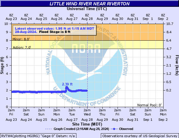
7' - Action
8' - Flood
10' - Moderate
11' - Major
Latest Observation
Updated: 5:15 PM MST 12/15/25
Status: No Flooding
Stage: 2.18 ft
Flow: 0.197 kcfs
Forecast
Forecast not available for this location.
| Time | Stage (ft) | Flow (kcfs) |
|---|---|---|
| 6:15 PM 12/15 | 2.2 | 0.202 |
| 6:00 PM 12/15 | 2.2 | 0.202 |
| 5:45 PM 12/15 | 2.19 | 0.199 |
| 5:30 PM 12/15 | 2.19 | 0.199 |
| 5:15 PM 12/15 | 2.18 | 0.197 |
| 5:00 PM 12/15 | 2.18 | 0.197 |
| 4:45 PM 12/15 | 2.19 | 0.199 |
| 4:30 PM 12/15 | 2.2 | 0.202 |
| 4:15 PM 12/15 | 2.2 | 0.202 |
| 4:00 PM 12/15 | 2.2 | 0.202 |
| 3:45 PM 12/15 | 2.22 | 0.207 |
| 3:30 PM 12/15 | 2.23 | 0.21 |
| 3:15 PM 12/15 | 2.24 | 0.213 |
| 3:00 PM 12/15 | 2.25 | 0.215 |
| 2:45 PM 12/15 | 2.26 | 0.218 |
| 2:30 PM 12/15 | 2.27 | 0.221 |
| 2:15 PM 12/15 | 2.28 | 0.223 |
| 2:00 PM 12/15 | 2.3 | 0.229 |
| 1:45 PM 12/15 | 2.31 | 0.232 |
| 1:30 PM 12/15 | 2.31 | 0.232 |
| 1:15 PM 12/15 | 2.31 | 0.232 |
| 1:00 PM 12/15 | 2.3 | 0.229 |
| 12:45 PM 12/15 | 2.27 | 0.221 |
| 12:30 PM 12/15 | 2.26 | 0.218 |
| 12:15 PM 12/15 | 2.24 | 0.213 |
| 12:00 PM 12/15 | 2.21 | 0.205 |
| 11:45 AM 12/15 | 2.19 | 0.199 |
| 11:30 AM 12/15 | 2.18 | 0.197 |
| 11:15 AM 12/15 | 2.17 | 0.194 |
| 11:00 AM 12/15 | 2.14 | 0.186 |
13' -
Flooding along highway 789 may make highway impassable.
12.5' -
Flooding of highway 789 intensifies. Standing water on highway 135 may make highway impassable.
12' -
Water will be entering highway 789 along low lying areas. Standing water on highway 135 along low lying areas near bridge. Access road to fort rendezvous campground will be inundated and unpassable.
11.91' -
Record stage (6/9/2010).
11.5' -
Highway 138 near Arapahoe closed due to high water near the bridge. Lower ends of Fort Rendezvous Campground are totally inundated.
10.85' -
Record flow---14,700 cfs (6/17/1963).
10' -
Lower campsites in Fort Rendezvous Campground become inundated with water. Highway 135 and 789 begin having water along low lying areas of the road. Water begins to encroach homes along left and right banks near Highway 135 Bridge.
9' -
The lowest tier of Fort Rendezvous campsites is under less than 1 ft of water. Escape routes are not affected.
8' -
Flood stage. The Rendezvous Campground experiences minor flooding of the lowest riverside campsites on the west end. People who live in mobile homes directly adjacent to the river along the right bank will have standing water in their front yard. Minor flooding along either side of Highways 135 and 789. Highway structures are not affected.
7' -
Bankfull stage.
| Date | Stage (ft) |
|---|---|
| Jun 9, 2010 | 11.91 |
| Feb 10, 2017 | 10.86 |
| Jun 17, 1963 | 10.85 |
| May 8, 2016 | 10.19 |
| Jun 9, 2017 | 9.82 |
| Jun 13, 1991 | 9.54 |
| Jun 17, 1995 | 9.29 |
| Jun 11, 1965 | 9.16 |
| Jun 24, 1967 | 9.03 |
| Jun 13, 1983 | 9.03 |
| Jul 2, 2011 | 8.93 |
| Jun 9, 2019 | 8.86 |
| Jun 17, 1993 | 8.24 |
| Jun 11, 2016 | 8.21 |
| Jun 19, 1971 | 8.11 |
| Jun 9, 1969 | 8.03 |
| Jun 6, 1986 | 7.99 |
| Jun 23, 1999 | 7.88 |
| Jun 10, 1997 | 7.64 |
| Jun 8, 1964 | 7.56 |
Data provided by the National Weather Service.