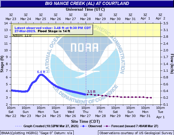
Big Nance Creek (AL) at Courtland
Critical Stages
12' - Action
14' - Flood
16' - Moderate
19' - Major
Latest Observation
Updated: 4:30 AM CST 12/16/25
Status: No Flooding
Stage: 1.43 ft
Flow: 0.0156 kcfs
Forecast
| Time | Stage (ft) | Flow (kcfs) |
|---|---|---|
| 12 PM 12/16 | 1.5 | 0.0186 |
| 6 PM 12/16 | 1.5 | 0.0186 |
| 12 AM 12/17 | 1.5 | 0.0186 |
| 6 AM 12/17 | 1.5 | 0.0186 |
| 12 PM 12/17 | 1.5 | 0.0186 |
| 6 PM 12/17 | 1.5 | 0.0186 |
| 12 AM 12/18 | 1.5 | 0.0186 |
| 6 AM 12/18 | 1.5 | 0.0186 |
| 12 PM 12/18 | 1.5 | 0.0186 |
| 6 PM 12/18 | 1.5 | 0.0186 |
| 12 AM 12/19 | 1.5 | 0.0186 |
| 6 AM 12/19 | 1.5 | 0.0186 |
| 12 PM 12/19 | 1.5 | 0.0186 |
| 6 PM 12/19 | 1.5 | 0.0186 |
| 12 AM 12/20 | 1.5 | 0.0186 |
| 6 AM 12/20 | 1.5 | 0.0186 |
| Time | Stage (ft) | Flow (kcfs) |
|---|---|---|
| 5:30 AM 12/16 | 1.43 | 0.0156 |
| 5:15 AM 12/16 | 1.43 | 0.0156 |
| 5:00 AM 12/16 | 1.43 | 0.0156 |
| 4:45 AM 12/16 | 1.43 | 0.0156 |
| 4:30 AM 12/16 | 1.43 | 0.0156 |
| 4:15 AM 12/16 | 1.43 | 0.0156 |
| 4:00 AM 12/16 | 1.43 | 0.0156 |
| 3:45 AM 12/16 | 1.43 | 0.0156 |
| 3:30 AM 12/16 | 1.43 | 0.0156 |
| 3:15 AM 12/16 | 1.43 | 0.0156 |
| 3:00 AM 12/16 | 1.43 | 0.0156 |
| 2:45 AM 12/16 | 1.43 | 0.0156 |
| 2:30 AM 12/16 | 1.43 | 0.0156 |
| 2:15 AM 12/16 | 1.43 | 0.0156 |
| 2:00 AM 12/16 | 1.43 | 0.0156 |
| 1:45 AM 12/16 | 1.43 | 0.0156 |
| 1:30 AM 12/16 | 1.43 | 0.0156 |
| 1:15 AM 12/16 | 1.43 | 0.0156 |
| 1:00 AM 12/16 | 1.43 | 0.0156 |
| 12:45 AM 12/16 | 1.43 | 0.0156 |
| 12:30 AM 12/16 | 1.43 | 0.0156 |
| 12:15 AM 12/16 | 1.43 | 0.0156 |
| 12:00 AM 12/16 | 1.43 | 0.0156 |
| 11:45 PM 12/15 | 1.43 | 0.0156 |
| 11:30 PM 12/15 | 1.44 | 0.016 |
| 11:15 PM 12/15 | 1.43 | 0.0156 |
| 11:00 PM 12/15 | 1.44 | 0.016 |
| 10:45 PM 12/15 | 1.44 | 0.016 |
| 10:30 PM 12/15 | 1.44 | 0.016 |
| 10:15 PM 12/15 | 1.44 | 0.016 |
29' -
Water overtops the wire weight gage on Old Highway 20. Water is over a foot deep atop the bridge.
28' -
Water overtops the bridge on Old Highway 20.
27.5' -
Water reaches the bottom of the gage house.
24.97' -
Record Stage. Observed March 16, 1973.
20' -
Water is approaching homes south of downtown Courtland...with several streets impassible. Water reaches the underside of the bridge at Old Highway 20 in Courtland.
16' -
Water begins to cover roads south of downtown Courtland.
14' -
Lowland flooding begins on the left bank of the river.
12' -
The river overflows on County Road 150 about three quarters of a mile upstream of the gage site...south of Courtland.
| Date | Stage (ft) |
|---|---|
| Mar 16, 1973 | 24.97 |
| Dec 23, 1990 | 24.21 |
| Apr 29, 2011 | 22.77 |
| Jan 7, 1950 | 22.6 |
| Feb 1, 1951 | 22.45 |
| Jan 5, 1949 | 22.25 |
| Oct 18, 1975 | 22.15 |
| Dec 27, 2015 | 22.13 |
| Jan 24, 1999 | 21.98 |
| Mar 14, 1975 | 21.94 |
| Feb 7, 2004 | 21.76 |
| Mar 12, 1963 | 21.75 |
| Feb 23, 2019 | 21.7 |
| Feb 1, 1957 | 21.5 |
| Feb 13, 1948 | 21.5 |
| Sep 16, 2024 | 21.32 |
| Dec 31, 1969 | 21.22 |
| Dec 3, 1991 | 21.13 |
| Dec 19, 1967 | 21.09 |
| Feb 10, 1946 | 21 |
Data provided by the National Weather Service.