Hubbard Creek below Albany
Critical Stages
32' - Action
35' - Flood
38' - Moderate
43' - Major
Latest Observation
Updated: 2:00 PM CST 12/15/25
Status: No Flooding
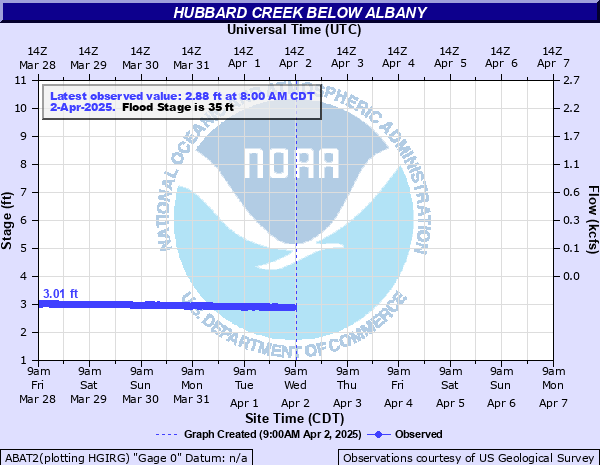
Stage: 2.33 ft
Flow: -999 kcfs
Forecast
Forecast not available for this location.
| Time | Stage (ft) | Flow (kcfs) |
|---|---|---|
| 2:00 PM 12/15 | 2.33 | -999 |
| 1:45 PM 12/15 | 2.33 | -999 |
| 1:30 PM 12/15 | 2.33 | -999 |
| 1:15 PM 12/15 | 2.33 | -999 |
| 1:00 PM 12/15 | 2.33 | -999 |
| 12:45 PM 12/15 | 2.33 | -999 |
| 12:30 PM 12/15 | 2.33 | -999 |
| 12:15 PM 12/15 | 2.33 | -999 |
| 12:00 PM 12/15 | 2.33 | -999 |
| 11:45 AM 12/15 | 2.33 | -999 |
| 11:30 AM 12/15 | 2.33 | -999 |
| 11:15 AM 12/15 | 2.33 | -999 |
| 11:00 AM 12/15 | 2.33 | -999 |
| 10:45 AM 12/15 | 2.32 | -999 |
| 10:30 AM 12/15 | 2.32 | -999 |
| 10:15 AM 12/15 | 2.32 | -999 |
| 10:00 AM 12/15 | 2.32 | -999 |
| 9:45 AM 12/15 | 2.32 | -999 |
| 9:30 AM 12/15 | 2.32 | -999 |
| 9:15 AM 12/15 | 2.32 | -999 |
| 9:00 AM 12/15 | 2.32 | -999 |
| 8:45 AM 12/15 | 2.32 | -999 |
| 8:30 AM 12/15 | 2.32 | -999 |
| 8:15 AM 12/15 | 2.32 | -999 |
| 8:00 AM 12/15 | 2.32 | -999 |
| 7:45 AM 12/15 | 2.31 | -999 |
| 7:30 AM 12/15 | 2.32 | -999 |
| 7:15 AM 12/15 | 2.32 | -999 |
| 7:00 AM 12/15 | 2.32 | -999 |
| 6:45 AM 12/15 | 2.32 | -999 |
41' -
Severe flooding of pasture land and oil fields will occur. Secondary roads and low water crossings will be flooded and impassible.
40' -
Flooding of pasture land and oil fields will occur. Secondary roads and low water crossings will be flooded and impassible.
35' -
Flooding of pastures and oil field areas will occur. Secondary roads and low water crossings will be flooded and impassible.
34' -
Minor overbank flooding of pasture land and oil fields will occur. Secondary roads and low water crossings will be flooded.
32' -
Minor overbank flooding of pasture land and oil fields will occur. Secondary roads and low water crossings will be flooded.
| Date | Stage (ft) |
|---|---|
| Aug 4, 1978 | 41.41 |
| Oct 13, 1981 | 33.05 |
| May 2, 1990 | 30.69 |
| Sep 15, 1996 | 29.87 |
| Apr 25, 2002 | 27.42 |
| Sep 18, 1974 | 27.01 |
| May 5, 1969 | 26.44 |
| May 13, 1985 | 24.3 |
| Sep 16, 1974 | 23.74 |
| Jun 21, 1974 | 23.2 |
Data provided by the National Weather Service.