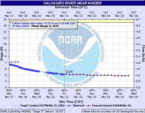
Calcasieu River near Kinder
Critical Stages
13.5' - Action
16' - Flood
20' - Moderate
23' - Major
Latest Observation
Updated: 9:45 AM CST 12/15/25
Status: No Flooding
Stage: 2.59 ft
Flow: 0.478 kcfs
Forecast
| Time | Stage (ft) | Flow (kcfs) |
|---|---|---|
| 6 PM 12/15 | 4.1 | 0.907 |
| 12 AM 12/16 | 4.1 | 0.907 |
| 6 AM 12/16 | 4.1 | 0.907 |
| 12 PM 12/16 | 4.1 | 0.907 |
| 6 PM 12/16 | 4.1 | 0.907 |
| 12 AM 12/17 | 4.1 | 0.907 |
| 6 AM 12/17 | 4 | 0.869 |
| 12 PM 12/17 | 4 | 0.869 |
| 6 PM 12/17 | 4 | 0.869 |
| 12 AM 12/18 | 4 | 0.869 |
| 6 AM 12/18 | 4 | 0.869 |
| 12 PM 12/18 | 4 | 0.869 |
| 6 PM 12/18 | 4 | 0.869 |
| 12 AM 12/19 | 4 | 0.869 |
| 6 AM 12/19 | 4 | 0.869 |
| 12 PM 12/19 | 4 | 0.869 |
| 6 PM 12/19 | 4 | 0.869 |
| 12 AM 12/20 | 3.9 | 0.834 |
| 6 AM 12/20 | 3.9 | 0.834 |
| Time | Stage (ft) | Flow (kcfs) |
|---|---|---|
| 12:15 PM 12/15 | -9999 | -999 |
| 12:00 PM 12/15 | -9999 | -999 |
| 11:45 AM 12/15 | -9999 | -999 |
| 11:30 AM 12/15 | -9999 | -999 |
| 11:15 AM 12/15 | -9999 | -999 |
| 11:00 AM 12/15 | -9999 | -999 |
| 10:45 AM 12/15 | -9999 | -999 |
| 10:30 AM 12/15 | -9999 | -999 |
| 10:15 AM 12/15 | -9999 | -999 |
| 10:00 AM 12/15 | -9999 | -999 |
| 9:45 AM 12/15 | 2.59 | 0.478 |
| 9:30 AM 12/15 | -9999 | -999 |
| 9:15 AM 12/15 | 4.08 | 0.899 |
| 9:00 AM 12/15 | -9999 | -999 |
| 8:45 AM 12/15 | -9999 | -999 |
| 8:30 AM 12/15 | 3.21 | 0.625 |
| 8:15 AM 12/15 | 4.18 | 0.931 |
| 8:00 AM 12/15 | -9999 | -999 |
| 7:45 AM 12/15 | -9999 | -999 |
| 7:30 AM 12/15 | -9999 | -999 |
| 7:15 AM 12/15 | -9999 | -999 |
| 7:00 AM 12/15 | 3.48 | 0.694 |
| 6:45 AM 12/15 | -9999 | -999 |
| 6:30 AM 12/15 | -9999 | -999 |
| 6:15 AM 12/15 | -9999 | -999 |
| 6:00 AM 12/15 | -9999 | -999 |
| 5:45 AM 12/15 | -9999 | -999 |
| 5:30 AM 12/15 | 4.16 | 0.926 |
| 5:15 AM 12/15 | -9999 | -999 |
| 5:00 AM 12/15 | -9999 | -999 |
32.9' -
At this level water will be flowing over the Highway 190 bridge.
32' -
The river at its flood of record. Widespread catastrpohic flood damage will occur. Many communities along and at some distance from the river become flooded. These communities include Kinder, Indian Village, Buller and Hecker. Portions of U.S. Highway 165 may also flood.
29' -
Flood waters reach the top of the rail on the railroad bridge downstream from the Hwy 190 bridge. Flooding of the bridge approaches on Hwy 190.
28.8' -
The water will be at the low chord of the Highway 190 bridge.
27.8' -
FEMA flood insurance maps indicate that at 27.8 feet, if you are located in the 1% (100 year) flood plain your property is at a high risk for flooding. A 1 percent flood is a flood that has a one percent or greater chance of occurring in any given year.
24' -
Three feet of water is over the Calcasieu River Bridge on Old Pump Road. Some homes along Old Pump Road are flooded. Homes near Phillips Bluff, Lormand Bluff, and Indian Village begin to flood.
23' -
Water is over numerous roads along the river. Several structures are subject to flooding in the Nevils Bluff community. Some of the roads that are or may be flooded include but are not limited to, Hecker Road from the Jefferson Davis Parish line to Hecker in several places. Amos Bluff, Old Ferry, Old Pump, Kinder Cemetary, Green Oaks, Fosset and Lyles roads.
21.5' -
Two feet of water over Old Pump Road and Kinder Cemetery Road. The Old Pump Road Bridge over the Calcasieu River begins to flood.
19.5' -
Lowland sections of Old Pump Road, Kinder Cemetery Road, and Nevils Bluff Road begin to flood.
18' -
If gage reading at Kinder reaches 18 feet, flooding begins to cut off some of the roads around Topsy in Northwest Jefferson Davis Parish.
16' -
Flooding of wooded areas near the river will occur.
| Date | Stage (ft) |
|---|---|
| May 19, 1953 | 32 |
| Jul 2, 1989 | 26.28 |
| Dec 29, 1982 | 26.22 |
| Aug 11, 1940 | 24.7 |
| Nov 7, 2002 | 24.29 |
| Oct 13, 2020 | 23.65 |
| Dec 23, 1923 | 23.46 |
| Dec 1, 2001 | 23.22 |
| Apr 13, 1995 | 22.9 |
| Nov 1, 1985 | 22.14 |
| Oct 23, 1984 | 22.12 |
| Dec 16, 1991 | 22.07 |
| Mar 27, 1973 | 22.05 |
| Feb 15, 1966 | 21.85 |
| May 5, 1954 | 21.81 |
| May 16, 2004 | 21.8 |
| Mar 15, 2016 | 21.78 |
| Mar 10, 1995 | 21.7 |
| Feb 15, 1984 | 21.67 |
| Sep 22, 1979 | 21.59 |
Data provided by the National Weather Service.