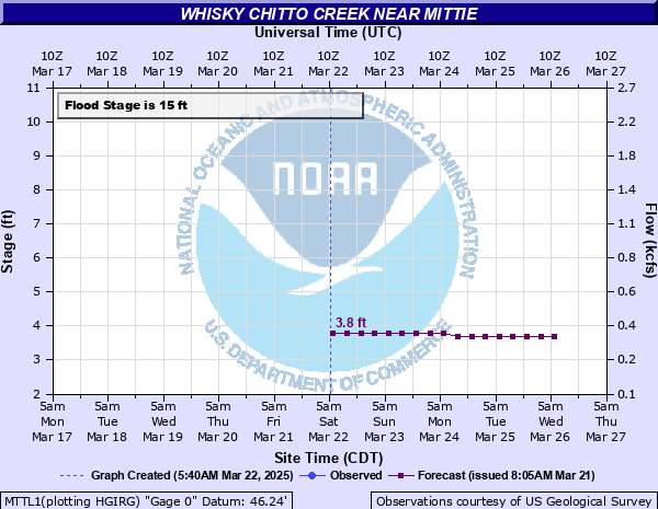
Whisky Chitto Creek near Mittie
Critical Stages
15' - Action
15' - Flood
20' - Moderate
23' - Major
Latest Observation
Updated: 1:15 PM CST 12/15/25
Status: No Flooding
Stage: 3.43 ft
Flow: 0.283 kcfs
Forecast
| Time | Stage (ft) | Flow (kcfs) |
|---|---|---|
| 6 PM 12/15 | 3.5 | 0.295 |
| 12 AM 12/16 | 3.5 | 0.295 |
| 6 AM 12/16 | 3.5 | 0.295 |
| 12 PM 12/16 | 3.6 | 0.311 |
| 6 PM 12/16 | 3.6 | 0.311 |
| 12 AM 12/17 | 3.6 | 0.311 |
| 6 AM 12/17 | 3.6 | 0.311 |
| 12 PM 12/17 | 3.5 | 0.295 |
| 6 PM 12/17 | 3.5 | 0.295 |
| 12 AM 12/18 | 3.5 | 0.295 |
| 6 AM 12/18 | 3.5 | 0.295 |
| 12 PM 12/18 | 3.5 | 0.295 |
| 6 PM 12/18 | 3.4 | 0.278 |
| 12 AM 12/19 | 3.4 | 0.278 |
| 6 AM 12/19 | 3.4 | 0.278 |
| 12 PM 12/19 | 3.4 | 0.278 |
| 6 PM 12/19 | 3.4 | 0.278 |
| 12 AM 12/20 | 3.3 | 0.262 |
| 6 AM 12/20 | 3.3 | 0.262 |
| Time | Stage (ft) | Flow (kcfs) |
|---|---|---|
| 1:15 PM 12/15 | 3.43 | 0.283 |
| 1:00 PM 12/15 | 3.41 | 0.28 |
| 12:45 PM 12/15 | 3.41 | 0.28 |
| 12:30 PM 12/15 | 3.4 | 0.278 |
| 12:15 PM 12/15 | 3.39 | 0.277 |
| 12:00 PM 12/15 | 3.38 | 0.275 |
| 11:45 AM 12/15 | 3.37 | 0.273 |
| 11:30 AM 12/15 | 3.36 | 0.272 |
| 11:15 AM 12/15 | 3.35 | 0.27 |
| 11:00 AM 12/15 | 3.34 | 0.269 |
| 10:45 AM 12/15 | 3.34 | 0.269 |
| 10:30 AM 12/15 | 3.33 | 0.267 |
| 10:15 AM 12/15 | 3.32 | 0.266 |
| 10:00 AM 12/15 | 3.31 | 0.264 |
| 9:45 AM 12/15 | 3.3 | 0.262 |
| 9:30 AM 12/15 | 3.29 | 0.261 |
| 9:15 AM 12/15 | 3.29 | 0.261 |
| 9:00 AM 12/15 | 3.28 | 0.259 |
| 8:45 AM 12/15 | 3.28 | 0.259 |
| 8:30 AM 12/15 | 3.28 | 0.259 |
| 8:15 AM 12/15 | 3.26 | 0.256 |
| 8:00 AM 12/15 | 3.26 | 0.256 |
| 7:45 AM 12/15 | 3.25 | 0.255 |
| 7:30 AM 12/15 | 3.24 | 0.253 |
| 7:15 AM 12/15 | 3.24 | 0.253 |
| 7:00 AM 12/15 | 3.23 | 0.252 |
| 6:45 AM 12/15 | 3.22 | 0.25 |
| 6:30 AM 12/15 | 3.22 | 0.25 |
| 6:15 AM 12/15 | 3.21 | 0.249 |
| 6:00 AM 12/15 | 3.21 | 0.249 |
32.79' -
The river is at its flood of record. Major to catastrophic flooding will occur.
29' -
The creek is over a mile wide with several homes flooded. Large sections of Carpters Bridge, Baggett and Tenmile roads will have several feet of water over them.
26' -
Hwy 26 has 2 to 3 feet of water over it.
24' -
Several structures in the Simmons Settlement community begin to flood.
23' -
Numerous Secondary roads near Whisky Chitto creek begin to flood. Some spots on Hwy 26 have between one and two feet of water over the road. Highway 26 will be closed.
22' -
Water is over highway 26 in the vicinity of the bridge. Water may cover highway 377 when the creek is rising and forecast to reach 22 feet and subject to being closed. Water also begins to threaten the community of Simmons Settlement.
20' -
Moderate lowland flooding along the creek will occur. When the creek is rising and forecast to reach 20 feet, highway 377 may have water beginning to cover it.
18.2' -
Carpenter's Bridge Road is flooded.
15' -
Minor lowland flooding near the creek will occur with Willards Camp Road as well as other secondary roads near the creek flooded.
| Date | Stage (ft) |
|---|---|
| May 18, 1953 | 32.8 |
| Jun 29, 1989 | 25.8 |
| Jun 1, 1886 | 25.7 |
| Dec 28, 1982 | 25.67 |
| Nov 30, 2001 | 24.75 |
| Oct 22, 1984 | 24.31 |
| Nov 13, 1966 | 23.87 |
| Nov 5, 2002 | 23.8 |
| Aug 20, 1940 | 23.42 |
| Mar 9, 1995 | 23.41 |
| Mar 31, 2018 | 23.29 |
| Feb 14, 1984 | 23.15 |
| May 2, 1954 | 22.78 |
| Apr 5, 2017 | 22.77 |
| Nov 18, 1987 | 22.52 |
| Feb 14, 1950 | 22.48 |
| Dec 15, 1991 | 22.47 |
| Oct 11, 2020 | 22.27 |
| Mar 26, 1973 | 22.1 |
| Dec 7, 1971 | 21.85 |
Data provided by the National Weather Service.