« Back to Isle Of Wight County Rivers
Potecasi Creek near Union
Critical Stages
Action
Flood
Moderate
Major
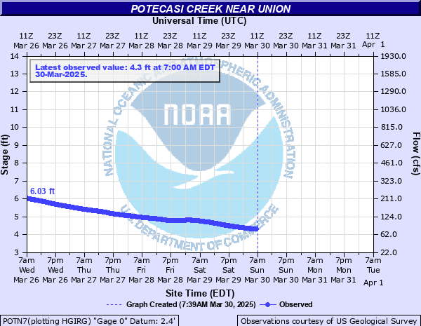
Latest Observation
Updated: 2:00 AM EST 12/15/25
Status: Not Defined
Stage: 3.32 ft
Flow: 0.034 kcfs
Forecast
Forecast not available for this location.
| Time | Stage (ft) | Flow (kcfs) |
|---|---|---|
| 2:00 AM 12/15 | 3.32 | 0.034 |
| 1:45 AM 12/15 | 3.32 | 0.034 |
| 1:30 AM 12/15 | 3.32 | 0.034 |
| 1:15 AM 12/15 | 3.32 | 0.034 |
| 1:00 AM 12/15 | 3.32 | 0.034 |
| 12:45 AM 12/15 | 3.32 | 0.034 |
| 12:30 AM 12/15 | 3.32 | 0.034 |
| 12:15 AM 12/15 | 3.32 | 0.034 |
| 12:00 AM 12/15 | 3.32 | 0.034 |
| 11:45 PM 12/14 | 3.32 | 0.034 |
| 11:30 PM 12/14 | 3.32 | 0.034 |
| 11:15 PM 12/14 | 3.32 | 0.034 |
| 11:00 PM 12/14 | 3.32 | 0.034 |
| 10:45 PM 12/14 | 3.32 | 0.034 |
| 10:30 PM 12/14 | 3.31 | 0.033 |
| 10:15 PM 12/14 | 3.32 | 0.034 |
| 10:00 PM 12/14 | 3.32 | 0.034 |
| 9:45 PM 12/14 | 3.31 | 0.033 |
| 9:30 PM 12/14 | 3.3 | 0.033 |
| 9:15 PM 12/14 | 3.32 | 0.034 |
| 9:00 PM 12/14 | 3.31 | 0.033 |
| 8:45 PM 12/14 | 3.32 | 0.034 |
| 8:30 PM 12/14 | 3.31 | 0.033 |
| 8:15 PM 12/14 | 3.29 | 0.033 |
| 8:00 PM 12/14 | 3.3 | 0.033 |
| 7:45 PM 12/14 | 3.3 | 0.033 |
| 7:30 PM 12/14 | 3.32 | 0.034 |
| 7:15 PM 12/14 | 3.32 | 0.034 |
| 7:00 PM 12/14 | 3.32 | 0.034 |
| 6:45 PM 12/14 | 3.32 | 0.034 |
26.9' -
River stage sensor operating limit
26' -
Water cover State Route 11 approximately 500 ft north of the bridge that crosses Potecasi Creek
| Date | Stage (ft) |
|---|---|
| Sep 17, 1999 | 28.9 |
| Oct 10, 2016 | 26.98 |
| Aug 17, 1940 | 24.1 |
| Oct 2, 2010 | 23.41 |
| Aug 19, 1992 | 21.77 |
| Sep 24, 2016 | 21.4 |
| Aug 30, 2011 | 21.15 |
| Sep 8, 1979 | 19.77 |
| May 10, 1958 | 19.12 |
| Oct 1, 1929 | 19.1 |
| Oct 20, 1999 | 19.08 |
| Sep 14, 1960 | 18.8 |
| Sep 22, 2003 | 18.5 |
| Jun 17, 2006 | 18.27 |
| Oct 7, 1964 | 17.66 |
| Mar 12, 1994 | 17.3 |
| Apr 30, 2014 | 17.1 |
| Feb 7, 1998 | 16.68 |
| Jan 23, 1987 | 16.57 |
| Feb 26, 2019 | 16.56 |
Data provided by the National Weather Service.