« Back to Jamestown Automatic Weather Observing Rivers
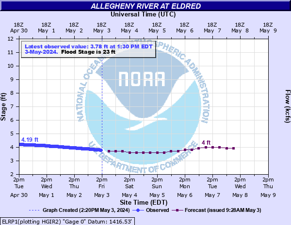
Allegheny River at Eldred
Critical Stages
17' - Action
23' - Flood
25' - Moderate
27' - Major
Latest Observation
Updated: 7:30 PM EST 12/15/25
Status: No Flooding
Stage: 3.53 ft
Flow: 0.393 kcfs
Forecast
| Time | Stage (ft) | Flow (kcfs) |
|---|---|---|
| 1 AM 12/16 | 3.5 | 0.385 |
| 7 AM 12/16 | 3.5 | 0.385 |
| 1 PM 12/16 | 3.4 | 0.36 |
| 7 PM 12/16 | 3.4 | 0.36 |
| 1 AM 12/17 | 3.4 | 0.36 |
| 7 AM 12/17 | 3.4 | 0.36 |
| 1 PM 12/17 | 3.4 | 0.36 |
| 7 PM 12/17 | 3.4 | 0.36 |
| 1 AM 12/18 | 3.4 | 0.36 |
| 7 AM 12/18 | 3.4 | 0.36 |
| 1 PM 12/18 | 3.4 | 0.36 |
| 7 PM 12/18 | 3.4 | 0.36 |
| 1 AM 12/19 | 3.4 | 0.36 |
| 7 AM 12/19 | 3.4 | 0.36 |
| 1 PM 12/19 | 3.4 | 0.36 |
| 7 PM 12/19 | 3.4 | 0.36 |
| 1 AM 12/20 | 3.5 | 0.385 |
| 7 AM 12/20 | 3.6 | 0.41 |
| Time | Stage (ft) | Flow (kcfs) |
|---|---|---|
| 7:30 PM 12/15 | 3.53 | 0.393 |
| 7:15 PM 12/15 | 3.53 | 0.393 |
| 7:00 PM 12/15 | 3.53 | 0.393 |
| 6:45 PM 12/15 | 3.53 | 0.393 |
| 6:30 PM 12/15 | 3.52 | 0.39 |
| 6:15 PM 12/15 | 3.52 | 0.39 |
| 6:00 PM 12/15 | 3.52 | 0.39 |
| 5:45 PM 12/15 | 3.52 | 0.39 |
| 5:30 PM 12/15 | 3.52 | 0.39 |
| 5:15 PM 12/15 | 3.51 | 0.388 |
| 5:00 PM 12/15 | 3.51 | 0.388 |
| 4:45 PM 12/15 | 3.51 | 0.388 |
| 4:30 PM 12/15 | 3.51 | 0.388 |
| 4:15 PM 12/15 | 3.5 | 0.385 |
| 4:00 PM 12/15 | 3.5 | 0.385 |
| 3:45 PM 12/15 | 3.5 | 0.385 |
| 3:30 PM 12/15 | 3.5 | 0.385 |
| 3:15 PM 12/15 | 3.5 | 0.385 |
| 3:00 PM 12/15 | 3.5 | 0.385 |
| 2:45 PM 12/15 | 3.5 | 0.385 |
| 2:30 PM 12/15 | 3.5 | 0.385 |
| 2:15 PM 12/15 | 3.5 | 0.385 |
| 2:00 PM 12/15 | 3.5 | 0.385 |
| 1:45 PM 12/15 | 3.5 | 0.385 |
| 1:30 PM 12/15 | 3.5 | 0.385 |
| 1:15 PM 12/15 | 3.51 | 0.388 |
| 1:00 PM 12/15 | 3.51 | 0.388 |
| 12:45 PM 12/15 | 3.51 | 0.388 |
| 12:30 PM 12/15 | 3.52 | 0.39 |
| 12:15 PM 12/15 | 3.52 | 0.39 |
31' -
This is the approximate height of the levee system. Widespread flooding continues in areas outside the levee. Inside the levee, low lying areas are affected.
29' -
Widespread flooding occurs in areas outside the levee system.
27' -
Low lying areas outside the levee system experience considerable inundation.
25' -
Areas outside the levee system experience considerable inundation.
23' -
Water level reaches the railroad grade where it passes through the levee. Stop logs are installed to complete the levee closure.
21' -
A portion of Route 346 is closed due to high water.
19' -
Water covers a portion of Route 346 north of town.
17' -
Due to high water levels, river interests are encouraged to monitor conditions.
| Date | Stage (ft) |
|---|---|
| Jun 23, 1972 | 29.1 |
| Jul 19, 1942 | 27.3 |
| Jan 20, 1996 | 21.889999389648 |
| Mar 9, 1956 | 20.6 |
| Jun 23, 1959 | 20.1 |
| Jun 22, 1989 | 19.6 |
| Mar 6, 1964 | 19 |
| Feb 16, 1984 | 18.7 |
| Apr 5, 1940 | 18.48 |
| Feb 21, 1981 | 18.4 |
| Feb 19, 1976 | 18.1 |
| Mar 11, 1964 | 17.5 |
Data provided by the National Weather Service.