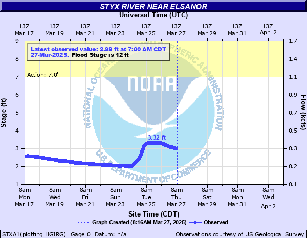
Styx River near Elsanor
Critical Stages
7' - Action
12' - Flood
14' - Moderate
17' - Major
Latest Observation
Updated: 4:00 PM CST 12/15/25
Status: No Flooding
Stage: 2.21 ft
Flow: 0.219 kcfs
Forecast
Forecast not available for this location.
| Time | Stage (ft) | Flow (kcfs) |
|---|---|---|
| 5:00 PM 12/15 | 2.2 | 0.218 |
| 4:45 PM 12/15 | 2.2 | 0.218 |
| 4:30 PM 12/15 | 2.21 | 0.219 |
| 4:15 PM 12/15 | 2.21 | 0.219 |
| 4:00 PM 12/15 | 2.21 | 0.219 |
| 3:45 PM 12/15 | 2.21 | 0.219 |
| 3:30 PM 12/15 | 2.21 | 0.219 |
| 3:15 PM 12/15 | 2.21 | 0.219 |
| 3:00 PM 12/15 | 2.21 | 0.219 |
| 2:45 PM 12/15 | 2.21 | 0.219 |
| 2:30 PM 12/15 | 2.21 | 0.219 |
| 2:15 PM 12/15 | 2.21 | 0.219 |
| 2:00 PM 12/15 | 2.21 | 0.219 |
| 1:45 PM 12/15 | 2.21 | 0.219 |
| 1:30 PM 12/15 | 2.22 | 0.221 |
| 1:15 PM 12/15 | 2.22 | 0.221 |
| 1:00 PM 12/15 | 2.21 | 0.219 |
| 12:45 PM 12/15 | 2.21 | 0.219 |
| 12:30 PM 12/15 | 2.22 | 0.221 |
| 12:15 PM 12/15 | 2.21 | 0.219 |
| 12:00 PM 12/15 | 2.22 | 0.221 |
| 11:45 AM 12/15 | 2.22 | 0.221 |
| 11:30 AM 12/15 | 2.22 | 0.221 |
| 11:15 AM 12/15 | 2.22 | 0.221 |
| 11:00 AM 12/15 | 2.22 | 0.221 |
| 10:45 AM 12/15 | 2.23 | 0.222 |
| 10:30 AM 12/15 | 2.23 | 0.222 |
| 10:15 AM 12/15 | 2.23 | 0.222 |
| 10:00 AM 12/15 | 2.23 | 0.222 |
| 9:45 AM 12/15 | 2.23 | 0.222 |
22' -
Water reaches roadway of CR-87 bridge. Higher water levels flood the bridge and the road becomes impassable.
21' -
Flooding occurs to streets along the river in Seminole Landing and begins to approach higher elevation houses on Donovan and Juniper Rds.
19' -
Water begins to flood Juniper Road in the Seminole Landing community.
17' -
Major Flood stage. Water is near and under low lying houses on Donovan Circle with the road flooded. Goat Cooper and Waterworld Roads impassable, with major flooding near the river.
16' -
Water begins to flood low lying areas on Donovan Circle in the Seminole Landing community. Water begins to overflow bulkheads on Juniper Road. Goat Cooper and Waterworld Rds are flooded with Riverside and the Retreat RV parks flooded.
14' -
Moderate Flood Stage. Water reaches top of bulkheads on Donovan Circle in the Seminole Landing community. Upstream, wter begins to flood Waterworld and areas near Goat Cooper Roads.
12' -
Residents downstream at Seminole Landing should be alert to possible flooding.
| Date | Stage (ft) |
|---|---|
| Sep 28, 1998 | 28.6 |
| Sep 17, 2020 | 23.52 |
| Apr 8, 2025 | 20.98 |
| Apr 30, 2014 | 20.87 |
| Jul 21, 1997 | 19.82 |
| Oct 4, 1995 | 19.8 |
| Apr 1, 2005 | 19.62 |
| Mar 29, 2009 | 19.51 |
| Oct 24, 2017 | 18.69 |
| Sep 6, 2018 | 17.95 |
| Jan 22, 2010 | 17.69 |
| Apr 1, 2025 | 16.97 |
| Jun 22, 2017 | 16.63 |
| Apr 15, 2014 | 16.45 |
| May 27, 2022 | 16.1 |
| Apr 6, 2008 | 15.78 |
| Aug 31, 2021 | 15.29 |
| Jan 3, 2017 | 15.15 |
| Apr 1, 2009 | 14.95 |
| Aug 31, 2017 | 14.66 |
Data provided by the National Weather Service.