« Back to Jefferson County Rivers
Cedar Creek at Cedarburg
Critical Stages
9' - Action
10' - Flood
11' - Moderate
12' - Major
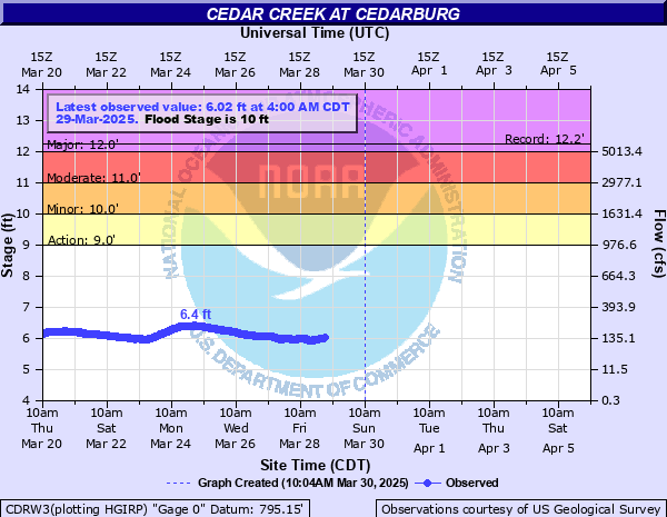
Latest Observation
Updated: 4:00 AM CST 12/8/25
Status: No Flooding
Stage: 5.62 ft
Flow: 0.0338 kcfs
Forecast
Forecast not available for this location.
| Time | Stage (ft) | Flow (kcfs) |
|---|---|---|
| 4:00 AM 12/8 | 5.62 | 0.0338 |
| 3:45 AM 12/8 | 5.63 | 0.0347 |
| 3:30 AM 12/8 | 5.62 | 0.0338 |
| 3:15 AM 12/8 | 5.63 | 0.0347 |
| 3:00 AM 12/8 | 5.64 | 0.0357 |
| 2:45 AM 12/8 | 5.65 | 0.0367 |
| 2:30 AM 12/8 | 5.65 | 0.0367 |
| 2:15 AM 12/8 | 5.65 | 0.0367 |
| 2:00 AM 12/8 | 5.66 | 0.0377 |
| 1:45 AM 12/8 | 5.66 | 0.0377 |
| 1:30 AM 12/8 | 5.66 | 0.0377 |
| 1:15 AM 12/8 | 5.66 | 0.0377 |
| 1:00 AM 12/8 | 5.66 | 0.0377 |
| 12:45 AM 12/8 | 5.67 | 0.0387 |
| 12:30 AM 12/8 | 5.67 | 0.0387 |
| 12:15 AM 12/8 | 5.67 | 0.0387 |
| 12:00 AM 12/8 | 5.67 | 0.0387 |
| 11:45 PM 12/7 | 5.67 | 0.0387 |
| 11:30 PM 12/7 | 5.67 | 0.0387 |
| 11:15 PM 12/7 | 5.66 | 0.0377 |
| 11:00 PM 12/7 | 5.66 | 0.0377 |
| 10:45 PM 12/7 | 5.67 | 0.0387 |
| 10:30 PM 12/7 | 5.67 | 0.0387 |
| 10:15 PM 12/7 | 5.66 | 0.0377 |
| 10:00 PM 12/7 | 5.66 | 0.0377 |
| 9:45 PM 12/7 | 5.66 | 0.0377 |
| 9:30 PM 12/7 | 5.66 | 0.0377 |
| 9:15 PM 12/7 | 5.65 | 0.0367 |
| 9:00 PM 12/7 | 5.65 | 0.0367 |
| 8:45 PM 12/7 | 5.65 | 0.0367 |
14.3' -
Floodwaters affect Riveredge Drive, Washington Avenue, Turner Street, Hanover Avenue and Mill Street in Cedarburg. Parks that are flooded include Grafton Lions Park, Cedar Creek Park and Legion Memorial Park.
13.4' -
Floodwaters are in the back yards of some homes and businesses along Sheboygan Road in Cedarburg. Portland Road in the Cedar Creek Park area is flooded. Parks in Cedarburg that are flooded include Grafton Lions Park, Cedar Creek Park and Legion Memorial Park. Roads affected are parts of Riveredge Drive, Washington Avenue, Turner Street, Hanover Avenue and Mill Street.
12.5' -
Floodwaters are in the back yards of some homes and businesses along Sheboygan Road in Cedarburg. A portion of Portland Road in the Cedar Creek Park area is flooded.
11' -
Cedar Creek Park in Cedarburg is flooded. A portion of Portland Road in the Cedar Creek Park area is flooded. Water is in the backyards of some homes and businesses along Sheboygan Rd in Cedarburg.
10' -
Water is into Cedar Creek Park in Cedarburg.
9.5' -
There is minor lowland flooding in the Cedarburg area. Water affects the outer edges of Cedar Creek Park in Cedarburg.
9' -
There is minor lowland flooding in the Cedarburg area.
8.5' -
There is minor lowland flooding in the Cedarburg area.
| Date | Stage (ft) |
|---|---|
| Mar 30, 1960 | 12.25 |
| Apr 1, 1959 | 11.7 |
| Mar 20, 1952 | 11.4 |
| Mar 27, 1950 | 11.1 |
| Mar 15, 2019 | 11.06 |
| Jun 23, 1940 | 11.05 |
| Aug 12, 2025 | 11.03 |
| Mar 7, 1946 | 11 |
| Mar 22, 1975 | 10.83 |
| Feb 22, 2018 | 10.72 |
| Mar 10, 2009 | 10.63 |
| Jun 14, 2008 | 10.59 |
| May 24, 2004 | 10.55 |
| Apr 7, 1965 | 10.4 |
| Mar 28, 1962 | 10.3 |
| Apr 21, 1993 | 10.29 |
| Jun 19, 1996 | 10.28 |
| Oct 3, 2019 | 10.12 |
| Sep 12, 1986 | 10.05 |
| Aug 29, 2018 | 10 |
Data provided by the National Weather Service.