« Back to Jefferson County Rivers
Milwaukee River near Cedarburg
Critical Stages
10' - Action
11' - Flood
13' - Moderate
14' - Major
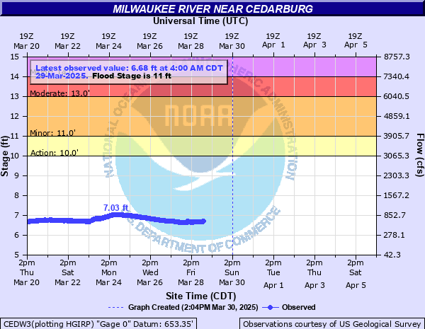
Latest Observation
Updated: 4:00 AM CST 12/8/25
Status: No Flooding
Stage: 6.98 ft
Flow: 0.875 kcfs
Forecast
Forecast not available for this location.
| Time | Stage (ft) | Flow (kcfs) |
|---|---|---|
| 4:00 AM 12/8 | 6.98 | 0.875 |
| 3:45 AM 12/8 | 6.99 | 0.883 |
| 3:30 AM 12/8 | 6.99 | 0.883 |
| 3:15 AM 12/8 | 6.99 | 0.883 |
| 3:00 AM 12/8 | 6.99 | 0.883 |
| 2:45 AM 12/8 | 6.99 | 0.883 |
| 2:30 AM 12/8 | 7 | 0.891 |
| 2:15 AM 12/8 | 7 | 0.891 |
| 2:00 AM 12/8 | 7 | 0.891 |
| 1:45 AM 12/8 | 7 | 0.891 |
| 1:30 AM 12/8 | 7.02 | 0.906 |
| 1:15 AM 12/8 | 7.02 | 0.906 |
| 1:00 AM 12/8 | 7.01 | 0.898 |
| 12:45 AM 12/8 | 7.02 | 0.906 |
| 12:30 AM 12/8 | 7.01 | 0.898 |
| 12:15 AM 12/8 | 7.01 | 0.898 |
| 12:00 AM 12/8 | 7.02 | 0.906 |
| 11:45 PM 12/7 | 7.03 | 0.913 |
| 11:30 PM 12/7 | 7.03 | 0.913 |
| 11:15 PM 12/7 | 7.02 | 0.906 |
| 11:00 PM 12/7 | 7.02 | 0.906 |
| 10:45 PM 12/7 | 7.02 | 0.906 |
| 10:30 PM 12/7 | 7.02 | 0.906 |
| 10:15 PM 12/7 | 7.02 | 0.906 |
| 10:00 PM 12/7 | 7.03 | 0.913 |
| 9:45 PM 12/7 | 7.03 | 0.913 |
| 9:30 PM 12/7 | 7.03 | 0.913 |
| 9:15 PM 12/7 | 7.03 | 0.913 |
| 9:00 PM 12/7 | 7.03 | 0.913 |
| 8:45 PM 12/7 | 7.03 | 0.913 |
13' -
Floodwaters affect Island Drive and Shoreland Parkway in the Mequon area. Water is over Elm St, Green Bay Rd, North Cedarburg Rd in Thiensville. The following roads and intersections are flooded and closed: Highway Y and Hawthorne Drive in the Town of Saukville, Highway W between Highway 33 and Highway 57 in the Village of Saukville.
12.5' -
Floodwaters are into the back yards of homes in the Thiensville area. Water is into Thiensville Village Park. The following roads and intersections may be flooded: Highway Y and Hawthorne Drive, Blueberry Drive and Hawthorne Drive in the Town of Saukville, Highway W between Highway 33 and Highway 57 in the Village of Saukville.
12' -
Floodwaters spread into the back yards of homes in the Thiensville area. Water is over Elm St, Green Bay Rd, and N Cedarburg Rd, and into Thiensville Village Park. The following roads and intersections are flooded and closed: Highway Y and Hawthorne Drive in the Town of Saukville, Blueberry Drive and Hawthorne Drive in the Town of Saukville, Highway W between Highway 33 and Highway 57 in the Village and Town of Saukville. Water is near some homes along Island Drive and Shoreland Parkway in the Mequon area.
11.5' -
The following roads and intersections may be flooded: Highway Y and Hawthorne Drive in the Town of Saukville, Blueberry Drive and Hawthorne Drive in the Town of Saukville, Highway W between Highway 33 and Highway 57 in the Village and Town of Saukville. Water approaches some homes along Klug Lane just south of Hwy C in Thiensville. Water is near some homes along Island Drive and Shoreland Parkway in the Mequon area.
11' -
Water approaches some homes along Klug Lane just south of Highway C. At equivalent stage 2 1/2 miles downstream, water approaches homes along Island Drive and Shoreland Parkway in the Mequon area.
10.5' -
There is minor lowland flooding.
10' -
Minor lowland flooding occurs.
| Date | Stage (ft) |
|---|---|
| Jun 13, 2008 | 13.98 |
| Mar 17, 2019 | 13.26 |
| May 23, 2004 | 13.11 |
| Oct 3, 2019 | 12.98 |
| Aug 12, 2025 | 12.91 |
| Jun 18, 1996 | 12.88 |
| Jan 31, 1988 | 12.27 |
| Apr 12, 2013 | 12.27 |
| Jan 23, 2017 | 12.24 |
| Mar 13, 2013 | 12.22 |
| Mar 27, 1989 | 12.21 |
| Aug 29, 2018 | 12.2 |
| Apr 21, 1993 | 12.04 |
| Feb 23, 1997 | 11.99 |
| Sep 11, 1986 | 11.97 |
| Mar 9, 2009 | 11.95 |
| May 19, 2020 | 11.8 |
| Mar 13, 2007 | 11.8 |
| Mar 11, 2009 | 11.78 |
| Sep 3, 2018 | 11.4 |
Data provided by the National Weather Service.