« Back to Jefferson County Rivers
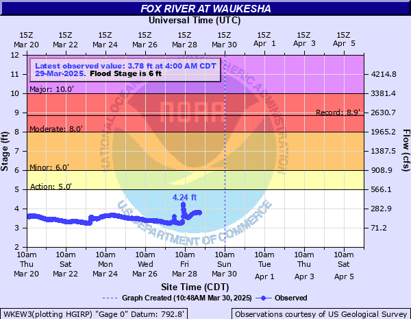
Fox River at Waukesha
Critical Stages
5' - Action
6' - Flood
8' - Moderate
10' - Major
Latest Observation
Updated: 4:00 AM CST 12/8/25
Status: No Flooding
Stage: 2.88 ft
Flow: 0.0537 kcfs
Forecast
Forecast not available for this location.
| Time | Stage (ft) | Flow (kcfs) |
|---|---|---|
| 4:00 AM 12/8 | 2.88 | 0.0537 |
| 3:45 AM 12/8 | 2.86 | 0.0505 |
| 3:30 AM 12/8 | 2.89 | 0.0553 |
| 3:15 AM 12/8 | 2.88 | 0.0537 |
| 3:00 AM 12/8 | 2.88 | 0.0537 |
| 2:45 AM 12/8 | 2.88 | 0.0537 |
| 2:30 AM 12/8 | 2.89 | 0.0553 |
| 2:15 AM 12/8 | 2.89 | 0.0553 |
| 2:00 AM 12/8 | 2.88 | 0.0537 |
| 1:45 AM 12/8 | 2.88 | 0.0537 |
| 1:30 AM 12/8 | 2.87 | 0.0521 |
| 1:15 AM 12/8 | 2.86 | 0.0505 |
| 1:00 AM 12/8 | 2.87 | 0.0521 |
| 12:45 AM 12/8 | 2.91 | 0.0585 |
| 12:30 AM 12/8 | 2.89 | 0.0553 |
| 12:15 AM 12/8 | 2.9 | 0.057 |
| 12:00 AM 12/8 | 2.88 | 0.0537 |
| 11:45 PM 12/7 | 2.9 | 0.057 |
| 11:30 PM 12/7 | 2.9 | 0.057 |
| 11:15 PM 12/7 | 2.88 | 0.0537 |
| 11:00 PM 12/7 | 2.89 | 0.0553 |
| 10:45 PM 12/7 | 2.9 | 0.057 |
| 10:30 PM 12/7 | 2.89 | 0.0553 |
| 10:15 PM 12/7 | 2.89 | 0.0553 |
| 10:00 PM 12/7 | 2.88 | 0.0537 |
| 9:45 PM 12/7 | 2.88 | 0.0537 |
| 9:30 PM 12/7 | 2.9 | 0.057 |
| 9:15 PM 12/7 | 2.88 | 0.0537 |
| 9:00 PM 12/7 | 2.9 | 0.057 |
| 8:45 PM 12/7 | 2.9 | 0.057 |
11' -
Barstow St, Corrina Blvd, E St Paul Ave, W St Paul Ave, Union St, Bank St, W Main St, Buckley St, Baxter St, Marshall St, N Prairie Ave are flooded. Water hits the bridge at Bartown St, Bank St. Water may hit the bridge at N Prairie Ave, Broadway and the pedestrian bridges along the riverwalk. Frame Park is flooded. The neighborhood along Bethesda Park is flooded.
10' -
Water hits the base of Barstow St bridge and Bank St bridge. Corrina Blvd, Buckley St, Baxter St, W Main St is flooded. Water impacts Bank St and E St Paul Ave. Frame Park is flooded. There is widespread flooding around homes in the Bethesda Court area about one half mile south of downtown Waukesha.
8.6' -
Water approaches the base of Bastow St bridge and Bank St bridge. Water impacts Corrina Blvd, Buckley St, W Main St and northern Bank St. Frame Park is flooded. Floodwaters are around some homes in the Bethesda Court area about one half mile south of downtown Waukesha.
8' -
Water is into Frame Park and floodwaters are at least 3 feet deep on land near the shoreline. About one half mile south of downtown Waukesha, water is 3-4 feet deep and covering much of the backyards of some homes in the Bethesda Court area. Water approaches Corrina Blvd and Union St.
7' -
Water is over the banks of Frame Park and floodwaters are at least 2 feet deep on land near the shoreline. About one half mile south of downtown Waukesha, water is 2 to 3 feet deep and covering much of the back yards of 6 or 7 homes in the Bethesda Court area of Waukesha.
6' -
There is minor lowland flooding in the Waukesha area.
5' -
There is minor lowland flooding in the Waukesha area.
| Date | Stage (ft) |
|---|---|
| Jun 9, 2008 | 8.85 |
| Aug 11, 2025 | 8.62 |
| Apr 1, 1960 | 8 |
| Jun 19, 2009 | 7.82 |
| Jul 25, 2010 | 7.67 |
| Apr 22, 1973 | 7.42 |
| Jul 2, 2000 | 7.34 |
| Sep 12, 2022 | 7.28 |
| May 24, 2004 | 6.97 |
| Jul 12, 2017 | 6.97 |
| Aug 8, 1998 | 6.96 |
| Apr 21, 1993 | 6.92 |
| Jun 5, 2024 | 6.81 |
| Jul 15, 2010 | 6.77 |
| Jun 23, 1997 | 6.74 |
| Apr 19, 2013 | 6.74 |
| Sep 5, 2018 | 6.69 |
| Apr 27, 2009 | 6.55 |
| Jul 27, 2006 | 6.53 |
| Mar 15, 2019 | 6.4 |
Data provided by the National Weather Service.