« Back to Jefferson County Rivers
South Branch Rock River at Waupun
Critical Stages
4' - Action
6' - Flood
8' - Moderate
10' - Major
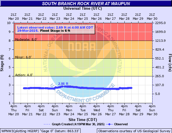
Latest Observation
Updated: 4:00 AM CST 12/8/25
Status: No Flooding
Stage: 1.94 ft
Flow: 0.0037 kcfs
Forecast
Forecast not available for this location.
| Time | Stage (ft) | Flow (kcfs) |
|---|---|---|
| 4:00 AM 12/8 | 1.94 | 0.0037 |
| 3:45 AM 12/8 | 1.94 | 0.0037 |
| 3:30 AM 12/8 | 1.93 | 0.0035 |
| 3:15 AM 12/8 | 1.93 | 0.0035 |
| 3:00 AM 12/8 | 1.94 | 0.0037 |
| 2:45 AM 12/8 | 1.93 | 0.0035 |
| 2:30 AM 12/8 | 1.93 | 0.0035 |
| 2:15 AM 12/8 | 1.94 | 0.0037 |
| 2:00 AM 12/8 | 1.94 | 0.0037 |
| 1:45 AM 12/8 | 1.95 | 0.0039 |
| 1:30 AM 12/8 | 1.93 | 0.0035 |
| 1:15 AM 12/8 | 1.95 | 0.0039 |
| 1:00 AM 12/8 | 1.93 | 0.0035 |
| 12:45 AM 12/8 | 1.92 | 0.0033 |
| 12:30 AM 12/8 | 1.94 | 0.0037 |
| 12:15 AM 12/8 | 1.93 | 0.0035 |
| 12:00 AM 12/8 | 1.93 | 0.0035 |
| 11:45 PM 12/7 | 1.94 | 0.0037 |
| 11:30 PM 12/7 | 1.94 | 0.0037 |
| 11:15 PM 12/7 | 1.95 | 0.0039 |
| 11:00 PM 12/7 | 1.95 | 0.0039 |
| 10:45 PM 12/7 | 1.92 | 0.0033 |
| 10:30 PM 12/7 | 1.95 | 0.0039 |
| 10:15 PM 12/7 | 1.93 | 0.0035 |
| 10:00 PM 12/7 | 1.94 | 0.0037 |
| 9:45 PM 12/7 | 1.94 | 0.0037 |
| 9:30 PM 12/7 | 1.92 | 0.0033 |
| 9:15 PM 12/7 | 1.94 | 0.0037 |
| 9:00 PM 12/7 | 1.94 | 0.0037 |
| 8:45 PM 12/7 | 1.93 | 0.0035 |
11' -
Water covers the support beams underneath the Fond du Lac St bridge and is closed. Gateway Dr. and County Park Rd. at the bridge are closed. Waters hits bridge deck of County Park Rd. Yards and basements, including walk-out basements, of some homes on Harmsen Ave. are flooded. Shaler Park and Pine St park closed.
10.5' -
Water covers the support beams underneath the Fond du Lac St bridge and is closed. Gateway Dr. and County Park Rd. at the bridge are closed. Yards and basements, including walk-out basements, of some homes on Harmsen Ave. are flooded. Floodwaters affect roadways adjacent to the river, a park and a picnic area.
9.8' -
Water covers the support beams underneath the Fond du Lac St bridge and is closed. Gateway Dr. and County Park Rd. at the bridge are closed. Yards and basements, including walk-out basements of some homes on Harmsen Ave. are flooded. Floodwaters affect a park, a picnic area and roadways adjacent to the river.
9.3' -
Water covers the support beams underneath the Fond du Lac St bridge and is closed. Gateway Dr. and County Park Rd. at the bridge are closed. Yards and basements of some homes on Harmsen Ave. are flooded.
8.6' -
Water touches the support beams underneath the Fond du Lac St bridge and is closed. Gateway Dr. and County Park Rd. at the bridge are closed.
7.5' -
Water reaches the support beams underneath the Fond du Lac St bridge and is closed. Gateway Dr. and County Park Rd. at the bridge are closed. Floodwaters affect a park and roadways adjacent to the river. Water starts to over top the dam at Shaler Park.
7.3' -
Water reaches the support beams underneath the Fond du Lac St bridge and is closed. Gateway Dr. and County Park Rd. at the bridge are closed. Floodwaters affect a park, a picnic area and roadways in the Waupun area.
7' -
Floodwaters affect a park, a picnic area, and some roadways adjacent to the river. Gateway Dr. is flooded. County Park Rd (Hwy MMM) is closed at the bridge as the river flows around the north end of bridge. Shaler Park and Pine St Park closed.
6' -
Floodwaters affect a picnic area and park near the river. Gateway Dr. is flooded and closed.
5' -
Gateway Dr. is flooded and closed.
4.5' -
Water begins to affect a low spot on Gateway Dr.
4' -
There is minor lowland flooding
| Date | Stage (ft) |
|---|---|
| Jun 13, 2008 | 10.09 |
| Mar 15, 2019 | 8.66 |
| Jun 9, 2008 | 8.27 |
| Jun 23, 2024 | 8.24 |
| Jun 11, 2004 | 8.2 |
| Apr 3, 1959 | 7.97 |
| Oct 2, 2019 | 7.92 |
| Oct 2, 2019 | 7.92 |
| Feb 10, 1966 | 7.85 |
| Jul 6, 1993 | 7.53 |
| Mar 30, 1960 | 7.5 |
| Mar 28, 1962 | 7.46 |
| Aug 29, 2018 | 7.43 |
| May 4, 2018 | 7.3 |
| Jul 21, 1999 | 7.18 |
| May 24, 2004 | 7.17 |
| Mar 21, 1952 | 6.96 |
| Jul 6, 2024 | 6.85 |
| May 31, 2004 | 6.74 |
| Apr 2, 1956 | 6.65 |
Data provided by the National Weather Service.