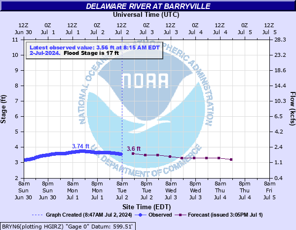
Delaware River at Barryville
Critical Stages
15' - Action
17' - Flood
22' - Moderate
26' - Major
Latest Observation
Updated: 9:45 PM EST 12/6/25
Status: No Flooding
Stage: 3.03 ft
Flow: 1.21 kcfs
Forecast
| Time | Stage (ft) | Flow (kcfs) |
|---|---|---|
| 1 AM 12/7 | 2.8 | 0.98 |
| 7 AM 12/7 | 2.9 | 1.08 |
| 1 PM 12/7 | 2.9 | 1.08 |
| 7 PM 12/7 | 2.9 | 1.08 |
| 1 AM 12/8 | 2.9 | 1.08 |
| 7 AM 12/8 | 2.9 | 1.08 |
| 1 PM 12/8 | 2.9 | 1.08 |
| 7 PM 12/8 | 2.9 | 1.08 |
| 1 AM 12/9 | 2.9 | 1.08 |
| 7 AM 12/9 | 2.9 | 1.08 |
| Time | Stage (ft) | Flow (kcfs) |
|---|---|---|
| 9:45 PM 12/6 | 3.03 | 1.21 |
| 9:30 PM 12/6 | 3.03 | 1.21 |
| 9:15 PM 12/6 | 3.03 | 1.21 |
| 9:00 PM 12/6 | 3.03 | 1.21 |
| 8:45 PM 12/6 | 3.03 | 1.21 |
| 8:30 PM 12/6 | 3.04 | 1.23 |
| 8:15 PM 12/6 | 3.04 | 1.23 |
| 8:00 PM 12/6 | 3.04 | 1.23 |
| 7:45 PM 12/6 | 3.04 | 1.23 |
| 7:30 PM 12/6 | 3.04 | 1.23 |
| 7:15 PM 12/6 | 3.05 | 1.24 |
| 7:00 PM 12/6 | 3.05 | 1.24 |
| 6:45 PM 12/6 | 3.05 | 1.24 |
| 6:30 PM 12/6 | 3.05 | 1.24 |
| 6:15 PM 12/6 | 3.05 | 1.24 |
| 6:00 PM 12/6 | 3.05 | 1.24 |
| 5:45 PM 12/6 | 3.04 | 1.23 |
| 5:30 PM 12/6 | 3.04 | 1.23 |
| 5:15 PM 12/6 | 3.03 | 1.21 |
| 5:00 PM 12/6 | 3.03 | 1.21 |
| 4:45 PM 12/6 | 3.01 | 1.19 |
| 4:30 PM 12/6 | 3 | 1.18 |
| 4:15 PM 12/6 | 2.99 | 1.17 |
| 4:00 PM 12/6 | 2.97 | 1.15 |
| 3:45 PM 12/6 | 2.96 | 1.14 |
| 3:30 PM 12/6 | 2.95 | 1.13 |
| 3:15 PM 12/6 | 2.95 | 1.13 |
| 3:00 PM 12/6 | 2.94 | 1.12 |
| 2:45 PM 12/6 | 2.94 | 1.12 |
| 2:30 PM 12/6 | 2.94 | 1.12 |
31.5' -
FEMA flood insurance risk maps indicate that this level, as measured at the stream gage, marks the 100 year (1 percent) floodplain. Your property is at risk for flooding during a record flood event. A 100 yer flood is a flood that has a 1 percent chance of occurring in any year.
28.97' -
This is the level from the June 2006 flood and is the record crest. State Route 97 flooded in many spots from Barryville to Minisink Ford. Most properties flood on the Pennsylvania side of the river along Masthope Plank Road.
26.4' -
This is the major flood level from Hurricane Diane, which occurred on August 19, 1955.
24.8' -
This represents the flood crest from April 2005. Parts of Route 97 flooded downstream of Minisink Ford. Backwater flooding affects the Lackawaxen River up to Route 590.
22.2' -
This level represents the rapid snow melt and heavy rain event of January 20, 1996. Scenic Drive in Lackawaxen floods at this level.
17' -
The river leaves its banks and floods the natural floodplain which is mostly agricultural.
| Date | Stage (ft) |
|---|---|
| Jun 28, 2006 | 28.97 |
| Aug 19, 1955 | 26.4 |
| Apr 3, 2005 | 24.8 |
| Sep 18, 2004 | 24.09 |
| May 23, 1942 | 23.19 |
| Jan 20, 1996 | 22.18 |
| Feb 11, 1981 | 20.9 |
| Mar 22, 1948 | 20.07 |
| Jun 29, 1973 | 20.06 |
| Mar 15, 1986 | 19.28 |
| Oct 27, 2021 | 18.72 |
| Sep 9, 2011 | 18.61 |
| Feb 24, 1961 | 18.19 |
| Jan 22, 1959 | 17.73 |
| Dec 12, 1952 | 17.7 |
| Mar 31, 1951 | 17.65 |
| Dec 31, 1948 | 17.63 |
| Oct 1, 2010 | 17.18 |
| Dec 26, 2020 | 17.05 |
| Sep 7, 2011 | 17.05 |
Data provided by the National Weather Service.