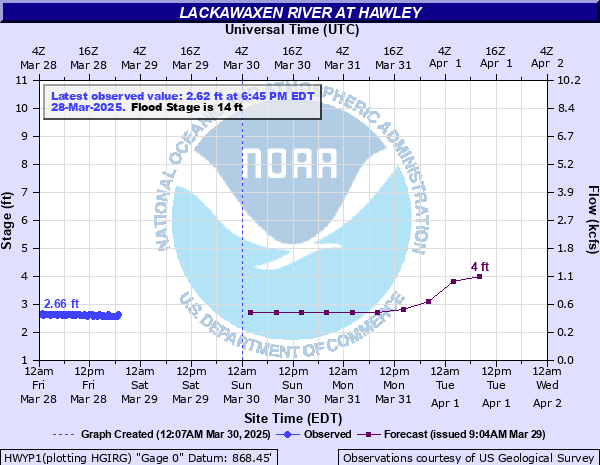
Lackawaxen River at Hawley
Critical Stages
11' - Action
14' - Flood
20' - Moderate
22' - Major
Latest Observation
Updated: 10:15 PM EST 12/6/25
Status: No Flooding
Stage: 1.97 ft
Flow: 0.109 kcfs
Forecast
| Time | Stage (ft) | Flow (kcfs) |
|---|---|---|
| 1 AM 12/7 | 2 | 0.115 |
| 7 AM 12/7 | 2 | 0.115 |
| 1 PM 12/7 | 2 | 0.115 |
| 7 PM 12/7 | 2 | 0.115 |
| 1 AM 12/8 | 2 | 0.115 |
| 7 AM 12/8 | 2 | 0.115 |
| 1 PM 12/8 | 1.9 | 0.095 |
| 7 PM 12/8 | 1.9 | 0.095 |
| 1 AM 12/9 | 1.9 | 0.095 |
| 7 AM 12/9 | 1.9 | 0.095 |
| Time | Stage (ft) | Flow (kcfs) |
|---|---|---|
| 10:15 PM 12/6 | 1.97 | 0.109 |
| 10:00 PM 12/6 | 1.95 | 0.105 |
| 9:45 PM 12/6 | 1.94 | 0.103 |
| 9:30 PM 12/6 | 1.95 | 0.105 |
| 9:15 PM 12/6 | 1.95 | 0.105 |
| 9:00 PM 12/6 | 1.93 | 0.101 |
| 8:45 PM 12/6 | 1.96 | 0.107 |
| 8:30 PM 12/6 | 1.95 | 0.105 |
| 8:15 PM 12/6 | 1.94 | 0.103 |
| 8:00 PM 12/6 | 1.94 | 0.103 |
| 7:45 PM 12/6 | 1.96 | 0.107 |
| 7:30 PM 12/6 | 1.96 | 0.107 |
| 7:15 PM 12/6 | 1.97 | 0.109 |
| 7:00 PM 12/6 | 1.97 | 0.109 |
| 6:45 PM 12/6 | 1.96 | 0.107 |
| 6:30 PM 12/6 | 1.96 | 0.107 |
| 6:15 PM 12/6 | 1.97 | 0.109 |
| 6:00 PM 12/6 | 1.99 | 0.113 |
| 5:45 PM 12/6 | 2 | 0.115 |
| 5:30 PM 12/6 | 1.99 | 0.113 |
| 5:15 PM 12/6 | 2.01 | 0.117 |
| 5:00 PM 12/6 | 2 | 0.115 |
| 4:45 PM 12/6 | 2.01 | 0.117 |
| 4:30 PM 12/6 | 2.02 | 0.119 |
| 4:15 PM 12/6 | 2.02 | 0.119 |
| 4:00 PM 12/6 | 2.05 | 0.126 |
| 3:45 PM 12/6 | 2.02 | 0.119 |
| 3:30 PM 12/6 | 2.04 | 0.123 |
| 3:15 PM 12/6 | 2.06 | 0.128 |
| 3:00 PM 12/6 | 2.06 | 0.128 |
24.8' -
Flood of Record. Hurricanes Connie and Diane, August 1955. Record stage was prior to levee protection.
23' -
Hawley levees overtop at this stage. Severe inundation takes place in the Borough extending to River St., Wayne Ave., and John Street on the west end of Paupack and Pike Streets.
22' -
Bingham Park floods affecting the Senior Center on Park Place. Areas between Old Gravity Road and Route 6 flood. The Borough of Hawley is protected by levees to 23 feet.
20' -
Flooding affects portions of Stourbridge RR line, Field Bend Road and Gelderman Road downstream of Hawley. The Borough of Hawley is protected by levees to 23 feet.
17' -
Yards of properties along Sellers Village and Hudson Street may be affected.
14' -
There is extensive flooding along the river floodplain channel. Little to no infrastructure is impacted. The Borough of Hawley is protected by levees to 23 feet.
11' -
Water overtops the right bank of the river above and below the Church Street bridge. Flooding is contained within the floodplain with no impacts.
| Date | Stage (ft) |
|---|---|
| Aug 19, 1955 | 24.8 |
| May 23, 1942 | 20.1 |
| Mar 18, 1936 | 19.1 |
| Jun 28, 2006 | 18.19 |
| Apr 3, 2005 | 15.25 |
| Sep 18, 2004 | 14.49 |
| Sep 2, 2021 | 14.31 |
| Jun 29, 1973 | 13 |
| Mar 28, 1914 | 12.6 |
| May 29, 1984 | 12.01 |
| Jul 10, 1952 | 11.78 |
| Mar 15, 1986 | 11.59 |
| Jan 19, 1996 | 11.54 |
| Jul 1, 2006 | 11.39 |
| Sep 7, 2011 | 11.3 |
| Dec 21, 1957 | 11.03 |
| Jun 23, 1972 | 10.67 |
Data provided by the National Weather Service.