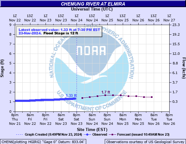
Chemung River at Elmira
Critical Stages
10' - Action
12' - Flood
15' - Moderate
19' - Major
Latest Observation
Updated: 5:30 AM EST 12/5/25
Status: No Flooding
Stage: 1.21 ft
Flow: 0.444 kcfs
Forecast
| Time | Stage (ft) | Flow (kcfs) |
|---|---|---|
| 7 AM 12/5 | 1.2 | 0.433 |
| 1 PM 12/5 | 1.2 | 0.433 |
| 7 PM 12/5 | 1.2 | 0.433 |
| 1 AM 12/6 | 1.2 | 0.433 |
| 7 AM 12/6 | 1.2 | 0.433 |
| 1 PM 12/6 | 1.2 | 0.433 |
| 7 PM 12/6 | 1.2 | 0.433 |
| 1 AM 12/7 | 1.2 | 0.433 |
| 7 AM 12/7 | 1.2 | 0.433 |
| Time | Stage (ft) | Flow (kcfs) |
|---|---|---|
| 5:30 AM 12/5 | 1.21 | 0.444 |
| 5:15 AM 12/5 | 1.21 | 0.444 |
| 5:00 AM 12/5 | 1.21 | 0.444 |
| 4:45 AM 12/5 | 1.21 | 0.444 |
| 4:30 AM 12/5 | 1.21 | 0.444 |
| 4:15 AM 12/5 | 1.21 | 0.444 |
| 4:00 AM 12/5 | 1.22 | 0.455 |
| 3:45 AM 12/5 | 1.21 | 0.444 |
| 3:30 AM 12/5 | 1.22 | 0.455 |
| 3:15 AM 12/5 | 1.22 | 0.455 |
| 3:00 AM 12/5 | 1.21 | 0.444 |
| 2:45 AM 12/5 | 1.22 | 0.455 |
| 2:30 AM 12/5 | 1.22 | 0.455 |
| 2:15 AM 12/5 | 1.21 | 0.444 |
| 2:00 AM 12/5 | 1.22 | 0.455 |
| 1:45 AM 12/5 | 1.21 | 0.444 |
| 1:30 AM 12/5 | 1.21 | 0.444 |
| 1:15 AM 12/5 | 1.21 | 0.444 |
| 1:00 AM 12/5 | 1.21 | 0.444 |
| 12:45 AM 12/5 | 1.21 | 0.444 |
| 12:30 AM 12/5 | 1.21 | 0.444 |
| 12:15 AM 12/5 | 1.21 | 0.444 |
| 12:00 AM 12/5 | 1.21 | 0.444 |
| 11:45 PM 12/4 | 1.21 | 0.444 |
| 11:30 PM 12/4 | 1.22 | 0.455 |
| 11:15 PM 12/4 | 1.21 | 0.444 |
| 11:00 PM 12/4 | 1.21 | 0.444 |
| 10:45 PM 12/4 | 1.22 | 0.455 |
| 10:30 PM 12/4 | 1.22 | 0.455 |
| 10:15 PM 12/4 | 1.22 | 0.455 |
25.2' -
Devastating flood damage occurs throughout the City of Elmira and surrounding areas. Public utilities, transportation, and communications are severely disrupted. This is the record flood from June 1972.
25' -
Water overtops the north bank of the levee system resulting in widespread flooding of downtown Elmira.
23' -
The Carriage Estates neighborhood and Farm Lane in Ashland flood. Flooding extends to 3rd Street in Wellsburg. The City of Elmira is protected by levees to 25 feet.
20' -
Neighborhoods south of Water Street in West Elmira experience extensive flooding. Properties along West Hudson Street at Morrowfield, Bonaview, and Homewood Avenues in the Town of Southport flood. The City of Elmira is protected by levees to 25 feet.
19' -
Most of Big Flats is inundated. Streets between York Avenue and Morningside Drive in West Elmira begin flooding. Homes at the lower end of Morningside and Country Club Drive are flooded to the first floor. Routes 225 and 352 are closed at Fitch's Bridge. Flooding worsens along Lower Maple Avenue from Southport to Wellsburg. The City of Elmira is protected by levees to 25 feet.
15' -
The Hamlet of Big Flats begins to flood. Water may also affect streets nearest the river from Golden Glow Heights through West Elmira. Flooding extends into the Town of Soutport affecting neighborhoods along Maple Avenue. Front Street in Wellsburg floods. The City of Elmira is protected by levees to 25 feet.
12' -
Minor flooding develops outside the area of levees and flood protection. Portions of Lower Maple Avenue (Route 427) in the Town of Ashland may be closed. The Lowman Crossover floods. Route 352 in Big Flats floods. The City of Elmira is protected by levees to 25 feet.
| Date | Stage (ft) |
|---|---|
| Jun 23, 1972 | 25.2 |
| May 28, 1946 | 21.2 |
| Sep 26, 1975 | 19.7 |
| Jan 19, 1996 | 18.51 |
| Jul 9, 1935 | 18.3 |
| Apr 1, 1940 | 17.8 |
| Dec 31, 1942 | 17.4 |
| Oct 15, 1955 | 17.2 |
| Mar 31, 1951 | 16.6 |
| Nov 26, 1950 | 16.4 |
| Mar 7, 1956 | 16.1 |
| May 29, 1950 | 16.1 |
| Nov 8, 1996 | 16 |
| Mar 10, 1942 | 15.9 |
| Apr 6, 1947 | 15.8 |
| Mar 6, 1964 | 15.6 |
| May 22, 1948 | 15.3 |
| Apr 1, 1960 | 14.5 |
| Mar 25, 1953 | 14.1 |
| Sep 18, 2004 | 13.55 |
Data provided by the National Weather Service.