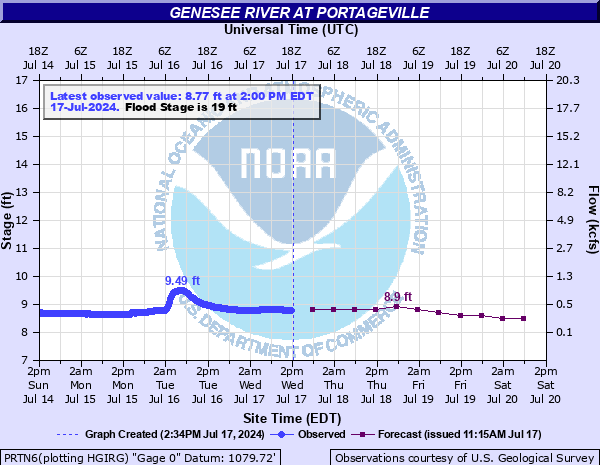
Genesee River at Portageville
Critical Stages
17' - Action
19' - Flood
25' - Moderate
29' - Major
Latest Observation
Updated: 6:00 AM EST 12/5/25
Status: No Flooding
Stage: 9.04 ft
Flow: 0.397 kcfs
Forecast
| Time | Stage (ft) | Flow (kcfs) |
|---|---|---|
| 1 PM 12/5 | 9.1 | 0.432 |
| 7 PM 12/5 | 9.1 | 0.432 |
| 1 AM 12/6 | 9.1 | 0.432 |
| 7 AM 12/6 | 9.1 | 0.432 |
| 1 PM 12/6 | 9 | 0.375 |
| 7 PM 12/6 | 9 | 0.375 |
| 1 AM 12/7 | 9 | 0.375 |
| 7 AM 12/7 | 9 | 0.375 |
| Time | Stage (ft) | Flow (kcfs) |
|---|---|---|
| 6:00 AM 12/5 | 9.04 | 0.397 |
| 5:45 AM 12/5 | 8.96 | 0.353 |
| 5:30 AM 12/5 | 8.99 | 0.369 |
| 5:15 AM 12/5 | 9 | 0.375 |
| 5:00 AM 12/5 | 9.07 | 0.414 |
| 4:45 AM 12/5 | 9.07 | 0.414 |
| 4:30 AM 12/5 | 9.07 | 0.414 |
| 4:15 AM 12/5 | 9.09 | 0.426 |
| 4:00 AM 12/5 | 9.07 | 0.414 |
| 3:45 AM 12/5 | 9.11 | 0.438 |
| 3:30 AM 12/5 | 9.09 | 0.426 |
| 3:15 AM 12/5 | 9.11 | 0.438 |
| 3:00 AM 12/5 | 9.12 | 0.444 |
| 2:45 AM 12/5 | 9.12 | 0.444 |
| 2:30 AM 12/5 | 9.12 | 0.444 |
| 2:15 AM 12/5 | 9.12 | 0.444 |
| 2:00 AM 12/5 | 9.12 | 0.444 |
| 1:45 AM 12/5 | 9.14 | 0.456 |
| 1:30 AM 12/5 | 9.13 | 0.45 |
| 1:15 AM 12/5 | 9.15 | 0.463 |
| 1:00 AM 12/5 | 9.16 | 0.469 |
| 12:45 AM 12/5 | 9.16 | 0.469 |
| 12:30 AM 12/5 | 9.18 | 0.482 |
| 12:15 AM 12/5 | 9.2 | 0.495 |
| 12:00 AM 12/5 | 9.22 | 0.508 |
| 11:45 PM 12/4 | 9.24 | 0.522 |
| 11:30 PM 12/4 | 9.25 | 0.528 |
| 11:15 PM 12/4 | 9.26 | 0.535 |
| 11:00 PM 12/4 | 9.26 | 0.535 |
| 10:45 PM 12/4 | 9.26 | 0.535 |
29' -
Major flood, widespread residential, commercial, and agricultural flooding. Heavy damages. Road closures. Possible evacuations.
25' -
Moderate flood, widespread flooding to agricultural land. Some residential flooding and damages begin. Possible road closures.
19' -
Flood stage, river begins to overflow into agricultural lands from Belfast to Letchworth. Little damage to structures.
17' -
Action stage, high flows. No flooding.
| Date | Stage (ft) |
|---|---|
| Jun 23, 1972 | 35.25 |
| Jan 20, 1996 | 29.12 |
| Jul 6, 1902 | 29.12 |
| Sep 29, 1967 | 25.54 |
| May 17, 1916 | 24.9 |
| Dec 1, 1927 | 24.7 |
| Mar 26, 1913 | 24.4 |
| Mar 7, 1956 | 24.3 |
| Jan 8, 1998 | 24.19 |
| Jun 18, 1984 | 23.48 |
| Mar 13, 1920 | 23.4 |
| Mar 5, 1964 | 23.04 |
| Dec 7, 1972 | 22.55 |
| Jan 22, 1959 | 22.45 |
| Mar 29, 1950 | 21.88 |
| Nov 26, 1950 | 21.86 |
| Jun 21, 1989 | 21.58 |
| Mar 17, 1942 | 21 |
| Apr 25, 1961 | 20.86 |
| Mar 15, 2007 | 20.65 |
Data provided by the National Weather Service.