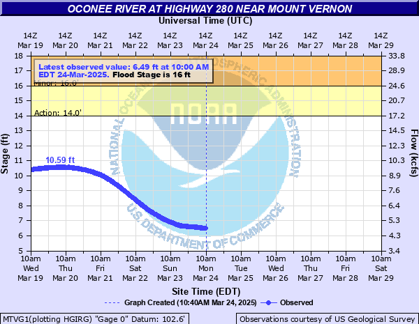
Oconee River at Highway 280 near Mount Vernon
Critical Stages
14' - Action
16' - Flood
20' - Moderate
23' - Major
Latest Observation
Updated: 5:00 PM EST 12/15/25
Status: No Flooding
Stage: 1.76 ft
Flow: 1.17 kcfs
Forecast
Forecast not available for this location.
| Time | Stage (ft) | Flow (kcfs) |
|---|---|---|
| 6:00 PM 12/15 | 1.75 | 1.16 |
| 5:45 PM 12/15 | 1.75 | 1.16 |
| 5:30 PM 12/15 | 1.76 | 1.17 |
| 5:15 PM 12/15 | 1.75 | 1.16 |
| 5:00 PM 12/15 | 1.76 | 1.17 |
| 4:45 PM 12/15 | 1.76 | 1.17 |
| 4:30 PM 12/15 | 1.76 | 1.17 |
| 4:15 PM 12/15 | 1.77 | 1.17 |
| 4:00 PM 12/15 | 1.76 | 1.17 |
| 3:45 PM 12/15 | 1.76 | 1.17 |
| 3:30 PM 12/15 | 1.77 | 1.17 |
| 3:15 PM 12/15 | 1.74 | 1.16 |
| 3:00 PM 12/15 | 1.77 | 1.17 |
| 2:45 PM 12/15 | 1.78 | 1.18 |
| 2:30 PM 12/15 | 1.78 | 1.18 |
| 2:15 PM 12/15 | 1.78 | 1.18 |
| 2:00 PM 12/15 | 1.78 | 1.18 |
| 1:45 PM 12/15 | 1.78 | 1.18 |
| 1:30 PM 12/15 | 1.77 | 1.17 |
| 1:15 PM 12/15 | 1.79 | 1.18 |
| 1:00 PM 12/15 | 1.79 | 1.18 |
| 12:45 PM 12/15 | 1.79 | 1.18 |
| 12:30 PM 12/15 | 1.78 | 1.18 |
| 12:15 PM 12/15 | 1.79 | 1.18 |
| 12:00 PM 12/15 | 1.75 | 1.16 |
| 11:45 AM 12/15 | 1.77 | 1.17 |
| 11:30 AM 12/15 | 1.77 | 1.17 |
| 11:15 AM 12/15 | 1.79 | 1.18 |
| 11:00 AM 12/15 | 1.8 | 1.19 |
| 10:45 AM 12/15 | 1.79 | 1.18 |
24' -
Record flooding occurs with widespread inundation of the woodlands and pastures upstream and downstream from the gage on U.S. Highway 280. Most of the access road to the boat ramp on the Wheeler County side of the river is flooded. Around a dozen homes on Dead River Road in the south end of Montgomery County are flooded with up to 4 feet of water. Dead River Road will be flooded up to 6 feet deep.
23' -
Major flooding begins with widespread inundation of the woodlands and pastures upstream and downstream from the gage on U.S. Highway 280. Most of the access road to the boat ramp on the Wheeler County side of the river is flooded. Around a dozen homes on Dead River Road in the south end of Montgomery County are flooded with up to 3 feet of water. Dead River Road will be flooded up to 5 feet deep.
22' -
Significant flooding expands in the woodlands and pastures upstream and downstream from the gage on U.S. Highway 280. More of the access road to the boat ramp on the Wheeler County side of the river is flooded. Around a dozen homes on Dead River Road in the south end of Montgomery County are flooded with up to 2 feet of water. Dead River Road will be flooded up to 4 feet deep.
21' -
Significant flooding continues in the woodlands and pastures upstream and downstream from the gage on U.S. Highway 280. The lower portion of the access road to the boat ramp on the Wheeler County side of the river is flooded. Around a dozen homes on Dead River Road in the south end of Montgomery County become flooded. Portions of Dead River Road will be covered by at least 3 feet of water.
20' -
Moderate flooding begins. Significant flooding occurs in the woodlands and pastures upstream and downstream from the gage on U.S. Highway 280. The access road to the boat ramp on the Wheeler County side of the river begins to flood. Around a dozen homes on Dead River Road in the south end of Montgomery County become surrounded with water. A few homes will have some flooding. Portions of Dead River Road will be covered by at least two feet of water.
19' -
Minor flooding expands further into the woodlands and pastures upstream and downstream from the gage on U.S. Highway 280. The boat ramp parking lot is flooded out on the Wheeler County side of the river. More homes on Dead River Road in the south part of Montgomery County become surrounded with water. Some flooding inside the structures is possible. Some portions of Dead River Road are covered by at least a foot of water.
18' -
Minor flooding expands in the woodlands and pastures upstream and downstream from the gage on U.S. Highway 280. A campground and a few out buildings begin to flood several miles south of Mount Vernon. Eleven homes in the Cherokee Sand Ridge subdivision are surrounded by water. Dead River Road becomes flooded and is closed.
17' -
Minor flooding continues in the woodlands and pastures upstream and downstream from the gage on U.S. Highway 280. Some homes on Dead River Road in the south end of Montgomery County become surrounded by water. Water begins to cover lower portions of Dead River Road.
16' -
Flood Stage is reached. Minor flooding begins in the woodlands...pastures and natural flood plain along the river upstream and downstream from the gage on U.S. Highway 280. Flood waters reach the top of a boat ramp by the bridge on the Wheeler County side of the River.
14' -
Bankfull conditions occur along the river upstream and downstream from the gage on U.S. Highway 280 bridge.
12' -
Water backflows into McCoy Lake upstream from the gage. No known damages occur from the overflow. McCoy Lake is a slough which extends 1 mile upstream from the river gage.
| Date | Stage (ft) |
|---|---|
| Apr 14, 1936 | 25.3 |
| Mar 14, 1998 | 23.03 |
| Mar 9, 1971 | 23 |
| Dec 5, 1948 | 22.6 |
| Feb 9, 1998 | 22.6 |
| Mar 3, 1961 | 21.8 |
| Mar 28, 1944 | 21.8 |
| Dec 30, 2015 | 21.12 |
| Mar 3, 1979 | 20.8 |
| Feb 20, 1995 | 20.8 |
| Apr 14, 1964 | 20.8 |
| May 28, 1942 | 20.7 |
| Mar 18, 1980 | 20.7 |
| Mar 19, 1980 | 20.6 |
| Mar 22, 1975 | 20.4 |
| Mar 6, 1939 | 20.4 |
| Mar 22, 1975 | 20.35 |
| Feb 1, 1978 | 20.3 |
| Mar 7, 1966 | 20.3 |
| Jan 19, 1972 | 20.2 |
Data provided by the National Weather Service.