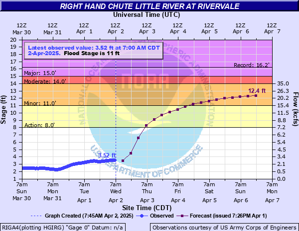
Right Hand Chute Little River at Rivervale
Critical Stages
8' - Action
11' - Flood
14' - Moderate
15' - Major
Latest Observation
Updated: 11:00 AM CST 12/13/25
Status: No Flooding
Stage: 1.95 ft
Flow: 0.462 kcfs
Forecast
| Time | Stage (ft) | Flow (kcfs) |
|---|---|---|
| 6 PM 12/13 | 1.9 | 0.428 |
| 12 AM 12/14 | 1.9 | 0.428 |
| 6 AM 12/14 | 1.9 | 0.428 |
| 12 PM 12/14 | 1.9 | 0.428 |
| 6 PM 12/14 | 1.9 | 0.428 |
| 12 AM 12/15 | 1.9 | 0.428 |
| 6 AM 12/15 | 1.9 | 0.428 |
| 12 PM 12/15 | 1.9 | 0.428 |
| 6 PM 12/15 | 1.9 | 0.428 |
| 12 AM 12/16 | 1.9 | 0.428 |
| 6 AM 12/16 | 1.9 | 0.428 |
| 12 PM 12/16 | 1.9 | 0.428 |
| 6 PM 12/16 | 1.9 | 0.428 |
| 12 AM 12/17 | 1.9 | 0.428 |
| 6 AM 12/17 | 1.9 | 0.428 |
| 12 PM 12/17 | 1.9 | 0.428 |
| 6 PM 12/17 | 1.9 | 0.428 |
| 12 AM 12/18 | 1.9 | 0.428 |
| 6 AM 12/18 | 1.9 | 0.428 |
| Time | Stage (ft) | Flow (kcfs) |
|---|---|---|
| 11:00 AM 12/13 | 1.95 | 0.462 |
| 10:00 AM 12/13 | 1.95 | 0.462 |
| 9:00 AM 12/13 | 1.94 | 0.455 |
| 8:00 AM 12/13 | 1.94 | 0.455 |
| 7:00 AM 12/13 | 1.92 | 0.441 |
| 6:00 AM 12/13 | 1.91 | 0.435 |
| 5:00 AM 12/13 | 1.91 | 0.435 |
| 4:00 AM 12/13 | 1.9 | 0.428 |
| 3:00 AM 12/13 | 1.9 | 0.428 |
| 2:00 AM 12/13 | 1.89 | 0.42 |
| 1:00 AM 12/13 | 1.88 | 0.412 |
| 12:00 AM 12/13 | 1.87 | 0.405 |
| 11:00 PM 12/12 | 1.86 | 0.397 |
| 10:00 PM 12/12 | 1.86 | 0.397 |
| 9:00 PM 12/12 | 1.86 | 0.397 |
| 8:00 PM 12/12 | 1.86 | 0.397 |
| 7:00 PM 12/12 | 1.86 | 0.397 |
| 6:00 PM 12/12 | 1.86 | 0.397 |
| 5:00 PM 12/12 | 1.86 | 0.397 |
| 4:00 PM 12/12 | 1.88 | 0.412 |
| 3:00 PM 12/12 | 1.89 | 0.42 |
| 2:00 PM 12/12 | 1.88 | 0.412 |
| 1:00 PM 12/12 | 1.88 | 0.412 |
| 12:00 PM 12/12 | 1.89 | 0.42 |
| 11:00 AM 12/12 | 1.88 | 0.412 |
| 10:00 AM 12/12 | 1.88 | 0.412 |
| 9:00 AM 12/12 | 1.88 | 0.412 |
| 8:00 AM 12/12 | 1.88 | 0.412 |
| 7:00 AM 12/12 | 1.89 | 0.42 |
| 6:00 AM 12/12 | 1.9 | 0.428 |
20.8' -
Water is flowing over the Highway 135 bridge. The levee system is overtopped causing widespread flooding.
18' -
Water reaches the bottom of the Highway 135 bridge.
14' -
Widespread flooding is occurring. Some evacuations may be necessary. Several roads between Rivervale and Big Lake Wildlife Refuge are flooded.
13' -
Several thousand acres of unprotected crop land is flooded and several roads inside the levee system are covered by flood water.
12' -
Evacuations may be necessary for some areas inside the main levee system due to access problems. Field flooding is widespread.
11' -
Farm land north of Rivervale is flooded. Low-lying portions of Highway 158 near the river are flooded.
10' -
Unprotected farm land near the river is flooded between Rivervale and Big Lake Wildlife Refuge.
8' -
Flooding is occurring inside the levee system. Equipment and livestock may need to be moved.
| Date | Stage (ft) |
|---|---|
| May 6, 2011 | 16.24 |
| Apr 11, 2025 | 15.5 |
| Feb 20, 1989 | 13.87 |
| Feb 16, 2019 | 13.77 |
| Jan 19, 1950 | 13.57 |
| Nov 23, 1957 | 13.55 |
| Apr 25, 1973 | 13.31 |
| Apr 6, 1979 | 13.28 |
| Feb 21, 2025 | 13 |
| Dec 23, 2001 | 12.85 |
| Apr 2, 1975 | 12.75 |
| Mar 7, 1997 | 12.6 |
| Apr 8, 2008 | 12.55 |
| Jan 27, 1999 | 12.19 |
| Dec 27, 1990 | 12.15 |
| Nov 26, 1988 | 11.98 |
| Dec 31, 1987 | 11.96 |
| Dec 11, 1978 | 11.94 |
| Aug 4, 1998 | 11.88 |
| Jan 21, 2007 | 11.54 |
Data provided by the National Weather Service.