« Back to Lake Manawa State Park Rivers
Logan Creek at Uehling
Critical Stages
16' - Action
18' - Flood
19' - Moderate
21' - Major
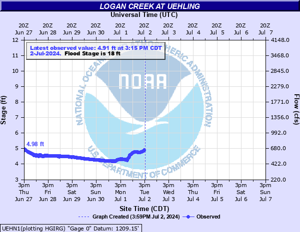
Latest Observation
Updated: 9:15 AM CST 12/6/25
Status: No Flooding
Stage: 3.81 ft
Flow: 0.39 kcfs
Forecast
Forecast not available for this location.
| Time | Stage (ft) | Flow (kcfs) |
|---|---|---|
| 9:15 AM 12/6 | 3.81 | 0.39 |
| 9:00 AM 12/6 | 3.8 | 0.388 |
| 8:45 AM 12/6 | 3.79 | 0.386 |
| 8:30 AM 12/6 | 3.77 | 0.382 |
| 8:15 AM 12/6 | 3.75 | 0.378 |
| 8:00 AM 12/6 | 3.73 | 0.375 |
| 7:45 AM 12/6 | 3.71 | 0.371 |
| 7:30 AM 12/6 | 3.69 | 0.367 |
| 7:15 AM 12/6 | 3.68 | 0.365 |
| 7:00 AM 12/6 | 3.66 | 0.361 |
| 6:45 AM 12/6 | 3.65 | 0.359 |
| 6:30 AM 12/6 | 3.64 | 0.358 |
| 6:15 AM 12/6 | 3.64 | 0.358 |
| 6:00 AM 12/6 | 3.63 | 0.356 |
| 5:45 AM 12/6 | 3.63 | 0.356 |
| 5:30 AM 12/6 | 3.63 | 0.356 |
| 5:15 AM 12/6 | 3.64 | 0.358 |
| 5:00 AM 12/6 | 3.65 | 0.359 |
| 4:45 AM 12/6 | 3.65 | 0.359 |
| 4:30 AM 12/6 | 3.64 | 0.358 |
| 4:15 AM 12/6 | 3.65 | 0.359 |
| 4:00 AM 12/6 | 3.66 | 0.361 |
| 3:45 AM 12/6 | 3.66 | 0.361 |
| 3:30 AM 12/6 | 3.66 | 0.361 |
| 3:15 AM 12/6 | 3.66 | 0.361 |
| 3:00 AM 12/6 | 3.66 | 0.361 |
| 2:45 AM 12/6 | 3.67 | 0.363 |
| 2:30 AM 12/6 | 3.66 | 0.361 |
| 2:15 AM 12/6 | 3.65 | 0.359 |
| 2:00 AM 12/6 | 3.64 | 0.358 |
27.5' -
Water nears the top of the bridge at Avenue C south of Uehling.
24' -
Water will begin to impact the bridge on County Road C.
21' -
Overflows threaten the railroad tracks on the west outskirts of Uehling. West Uehling would flood if the railroad tracks were overtopped.
19' -
Considerable lowland flooding occurs including County Road F north of Hooper. Upstream at Oakland and Lyons, city parks and local golf courses may flood.
18' -
Rural farmlands begin to flood.
| Date | Stage (ft) |
|---|---|
| Mar 15, 2019 | 21.24 |
| Feb 20, 1997 | 20.86 |
| Jun 5, 1940 | 20.6 |
| Feb 20, 1971 | 20.15 |
| Mar 27, 1962 | 20.15 |
| Jun 27, 2018 | 19.96 |
| Jun 11, 1944 | 19.65 |
| Feb 10, 2009 | 18.69 |
| Jun 13, 2010 | 18.62 |
| Jul 9, 1993 | 18.57 |
| May 28, 1995 | 18.5 |
| Jun 15, 2014 | 18.43 |
| Jun 15, 1991 | 18.34 |
| Mar 10, 2007 | 18.16 |
| Aug 7, 1999 | 18.05 |
| Jun 16, 1984 | 17.95 |
| Mar 19, 1986 | 17.88 |
| May 30, 2008 | 17.87 |
| Feb 20, 1982 | 17.76 |
| Feb 18, 2011 | 17.71 |
Data provided by the National Weather Service.