« Back to Lake Metigoshe Rivers
Souris River near Bantry
Critical Stages
1439' - Action
1440' - Flood
1441' - Moderate
1443' - Major
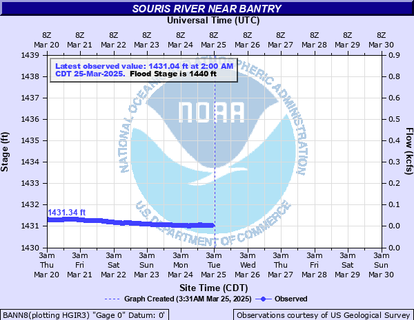
Latest Observation
Updated: 12:00 AM CST 12/15/25
Status: No Flooding
Stage: 1431.36 ft
Flow: 0.0781 kcfs
Forecast
Forecast not available for this location.
| Time | Stage (ft) | Flow (kcfs) |
|---|---|---|
| 12:00 AM 12/15 | 1431.36 | 0.0781 |
| 11:45 PM 12/14 | 1431.36 | 0.0781 |
| 11:30 PM 12/14 | 1431.35 | 0.0774 |
| 11:15 PM 12/14 | 1431.35 | 0.0774 |
| 11:00 PM 12/14 | 1431.35 | 0.0774 |
| 10:45 PM 12/14 | 1431.36 | 0.0781 |
| 10:30 PM 12/14 | 1431.35 | 0.0774 |
| 10:15 PM 12/14 | 1431.35 | 0.0774 |
| 10:00 PM 12/14 | 1431.35 | 0.0774 |
| 9:45 PM 12/14 | 1431.35 | 0.0774 |
| 9:30 PM 12/14 | 1431.35 | 0.0774 |
| 9:15 PM 12/14 | 1431.35 | 0.0774 |
| 9:00 PM 12/14 | 1431.35 | 0.0774 |
| 8:45 PM 12/14 | 1431.35 | 0.0774 |
| 8:30 PM 12/14 | 1431.35 | 0.0774 |
| 8:15 PM 12/14 | 1431.35 | 0.0774 |
| 8:00 PM 12/14 | 1431.34 | 0.0767 |
| 7:45 PM 12/14 | 1431.35 | 0.0774 |
| 7:30 PM 12/14 | 1431.35 | 0.0774 |
| 7:15 PM 12/14 | 1431.34 | 0.0767 |
| 7:00 PM 12/14 | 1431.35 | 0.0774 |
| 6:45 PM 12/14 | 1431.34 | 0.0767 |
| 6:30 PM 12/14 | 1431.34 | 0.0767 |
| 6:15 PM 12/14 | 1431.34 | 0.0767 |
| 6:00 PM 12/14 | 1431.34 | 0.0767 |
| 5:45 PM 12/14 | 1431.34 | 0.0767 |
| 5:30 PM 12/14 | 1431.34 | 0.0767 |
| 5:15 PM 12/14 | 1431.34 | 0.0767 |
| 5:00 PM 12/14 | 1431.34 | 0.0767 |
| 4:45 PM 12/14 | 1431.34 | 0.0767 |
1440.2' -
Water begins crossing the road several hundred feet to the left of the bridge. No towns or major roads are flooded.
1439.7' -
Flood waters affect farmland or wooded areas in refuge. Due to relative flatness of the area within reach of the gage a rather large area becomes flooded. Damage is to crops and farm buildings.
1437.8' -
River flow no longer confined to one channel. Flow begins in channel 2 miles west and through various culverts that may be blocked in winter months.
1435.8' -
Right bank with heavy trees and brush subject to overflow.
| Date | Stage (ft) |
|---|---|
| Jun 28, 2011 | 1445.66 |
| Jun 23, 2013 | 1444.481 |
| Apr 23, 1976 | 1443.351 |
| Jun 11, 2013 | 1443.081 |
| Apr 20, 2009 | 1442.891 |
| May 25, 1975 | 1442.661 |
| May 4, 1969 | 1442.561 |
| Apr 13, 1949 | 1442.521 |
| May 17, 1979 | 1442.381 |
| Mar 30, 1995 | 1442.101 |
| May 22, 1974 | 1442.051 |
| May 22, 1970 | 1441.991 |
| Apr 3, 1999 | 1441.901 |
| Apr 11, 1997 | 1441.841 |
| Apr 20, 1996 | 1441.731 |
| Apr 9, 2017 | 1441.55 |
| Apr 23, 1951 | 1441.311 |
| May 4, 1955 | 1441.291 |
| Apr 24, 1972 | 1441.291 |
| May 31, 1948 | 1441.191 |
Data provided by the National Weather Service.