« Back to Lake Michigan Beach Rivers
St. Joseph River (MI/IN) at South Bend
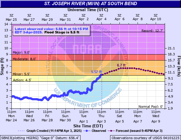
Critical Stages
4.5' - Action
5.5' - Flood
8' - Moderate
9' - Major
Latest Observation
Updated: 6:15 AM EST 12/6/25
Status: No Flooding
Stage: -0.29 ft
Flow: -999 kcfs
Forecast
Forecast not available for this location.
| Time | Stage (ft) | Flow (kcfs) |
|---|---|---|
| 7:15 AM 12/6 | -0.33 | -999 |
| 7:00 AM 12/6 | -0.3 | -999 |
| 6:45 AM 12/6 | -0.3 | -999 |
| 6:30 AM 12/6 | -0.27 | -999 |
| 6:15 AM 12/6 | -0.29 | -999 |
| 6:00 AM 12/6 | -0.27 | -999 |
| 5:45 AM 12/6 | -0.28 | -999 |
| 5:30 AM 12/6 | -0.28 | -999 |
| 5:15 AM 12/6 | -0.28 | -999 |
| 5:00 AM 12/6 | -0.29 | -999 |
| 4:45 AM 12/6 | -0.29 | -999 |
| 4:30 AM 12/6 | -0.29 | -999 |
| 4:15 AM 12/6 | -0.31 | -999 |
| 4:00 AM 12/6 | -0.3 | -999 |
| 3:45 AM 12/6 | -0.31 | -999 |
| 3:30 AM 12/6 | -0.33 | -999 |
| 3:15 AM 12/6 | -0.34 | -999 |
| 3:00 AM 12/6 | -0.34 | -999 |
| 2:45 AM 12/6 | -0.36 | -999 |
| 2:30 AM 12/6 | -0.37 | -999 |
| 2:15 AM 12/6 | -0.4 | -999 |
| 2:00 AM 12/6 | -0.42 | -999 |
| 1:45 AM 12/6 | -0.43 | -999 |
| 1:30 AM 12/6 | -0.46 | -999 |
| 1:15 AM 12/6 | -0.47 | -999 |
| 1:00 AM 12/6 | -0.5 | -999 |
| 12:45 AM 12/6 | -0.53 | -999 |
| 12:30 AM 12/6 | -0.55 | -999 |
| 12:15 AM 12/6 | -0.58 | -999 |
| 12:00 AM 12/6 | -0.58 | -999 |
11.1' -
The river is at the 100 year flood level.
11' -
Business areas near Indiana University at South Bend campus are flooded. Residents in River Commons, near Keller Park and Riverside Drive between Marion and Bartlett are flooded in their basements. Street flooding closes portions of Northshore Drive and Northside Blvd. Evacuations may be necessary and the wastewater treatment plant will be completely flooded.
10' -
Flooding affects commercial areas near Indiana University at South Bend campus along Northside Blvd.
9' -
Major flooding is in progress. Flooding almost completely submerges parks and floods local streets near the St. Joseph River.
8' -
Flood waters begin to affect river parks and roads and may affect portions of Northside Blvd in the area of Veterans Memorial Park, and Riverside Drive in the areas south of Leeper Park, by Keller Park and Woodland Park. High water may cause flooding of basements and interfere with some commercial activities.
7' -
Flooding is confined to park land and park roads. Some backyard flooding may occur in low lying residential areas near the river.
6' -
Flooding is confined to mostly park land and golf courses. Leeper Park and Petro golf courses begin to flood.
5.5' -
The river reaches flood stage with the lowest residential areas beginning to flood.
| Date | Stage (ft) |
|---|---|
| Feb 22, 2018 | 12.7 |
| Jan 6, 1993 | 10.9 |
| Mar 15, 1982 | 10.9 |
| Feb 24, 1985 | 10.7 |
| Jan 9, 2008 | 9.6 |
| Mar 12, 2009 | 9 |
| Feb 7, 2008 | 8.9 |
| Jan 14, 2005 | 8 |
| Apr 20, 2013 | 7.8 |
| May 2, 2019 | 7.13 |
| May 14, 2002 | 6.9 |
| Apr 29, 2011 | 6.9 |
| May 20, 2020 | 6.83 |
| Sep 16, 2008 | 6.7 |
| Apr 24, 1999 | 6.6 |
| Feb 10, 2001 | 6.5 |
| Jun 28, 2021 | 6.43 |
| Jun 13, 2004 | 6.4 |
| Apr 15, 1983 | 6.3 |
| Mar 14, 2006 | 6.1 |
Data provided by the National Weather Service.