« Back to Lake Ouachita State Park Rivers
Fourche LaFave River near Gravelly
Critical Stages
20' - Action
24' - Flood
28' - Moderate
30' - Major
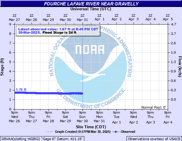
Latest Observation
Updated: 11:45 PM CST 12/14/25
Status: No Flooding
Stage: 1.52 ft
Flow: 0.0566 kcfs
Forecast
Forecast not available for this location.
| Time | Stage (ft) | Flow (kcfs) |
|---|---|---|
| 11:45 PM 12/14 | 1.52 | 0.0566 |
| 11:30 PM 12/14 | 1.52 | 0.0566 |
| 11:15 PM 12/14 | 1.52 | 0.0566 |
| 11:00 PM 12/14 | 1.52 | 0.0566 |
| 10:45 PM 12/14 | 1.52 | 0.0566 |
| 10:30 PM 12/14 | 1.52 | 0.0566 |
| 10:15 PM 12/14 | 1.52 | 0.0566 |
| 10:00 PM 12/14 | 1.52 | 0.0566 |
| 9:45 PM 12/14 | 1.53 | 0.0578 |
| 9:30 PM 12/14 | 1.53 | 0.0578 |
| 9:15 PM 12/14 | 1.53 | 0.0578 |
| 9:00 PM 12/14 | 1.53 | 0.0578 |
| 8:45 PM 12/14 | 1.53 | 0.0578 |
| 8:30 PM 12/14 | 1.53 | 0.0578 |
| 8:15 PM 12/14 | 1.53 | 0.0578 |
| 8:00 PM 12/14 | 1.53 | 0.0578 |
| 7:45 PM 12/14 | 1.53 | 0.0578 |
| 7:30 PM 12/14 | 1.53 | 0.0578 |
| 7:15 PM 12/14 | 1.53 | 0.0578 |
| 7:00 PM 12/14 | 1.53 | 0.0578 |
| 6:45 PM 12/14 | 1.53 | 0.0578 |
| 6:30 PM 12/14 | 1.53 | 0.0578 |
| 6:15 PM 12/14 | 1.53 | 0.0578 |
| 6:00 PM 12/14 | 1.53 | 0.0578 |
| 5:45 PM 12/14 | 1.53 | 0.0578 |
| 5:30 PM 12/14 | 1.53 | 0.0578 |
| 5:15 PM 12/14 | 1.54 | 0.0591 |
| 5:00 PM 12/14 | 1.54 | 0.0591 |
| 4:45 PM 12/14 | 1.54 | 0.0591 |
| 4:30 PM 12/14 | 1.54 | 0.0591 |
32' -
Numerous county roads are flooded along with portions of Highway 28. Major agricultural impacts and danger to livestock. Campgrounds along Nimrod Lake will be inundated, including Sunlight Bay, Carter Cove, and County Line.
30' -
Several county roads are impacted and State Highway 28 may be affected. Many pastures along the river will be inundated. Campgrounds will be impacted downstream near Nimrod Lake, including Sunlight Bay, County Line, and Carter Cove.
24' -
Portions of Highway 28 effected. Timber and pasture along West Bank floods. Property and livestock should be moved to higher ground.
| Date | Stage (ft) |
|---|---|
| May 31, 2013 | 32.6 |
| Dec 3, 1982 | 32.45 |
| Dec 28, 2015 | 31.65 |
| Mar 19, 2008 | 30.91 |
| Jul 26, 1969 | 30.3 |
| Dec 10, 1971 | 30.1 |
| Nov 22, 2011 | 29.38 |
| Jun 7, 1974 | 29.23 |
| May 3, 1990 | 29 |
| Jan 24, 1949 | 28.86 |
| Dec 17, 2001 | 28.62 |
| Mar 3, 2023 | 28.57 |
| May 11, 2015 | 28.38 |
| May 11, 2015 | 28.38 |
| Nov 27, 1985 | 28.08 |
| Nov 25, 1996 | 27.57 |
| Feb 8, 2023 | 27.57 |
| Apr 14, 1991 | 27.45 |
| Sep 3, 2008 | 27.19 |
| Mar 20, 2002 | 26.57 |
Data provided by the National Weather Service.