Cedar River at Cedar Rapids
Critical Stages
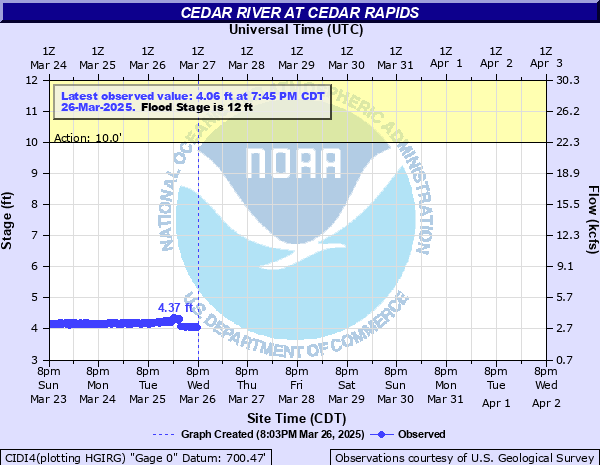
10' - Action
12' - Flood
14' - Moderate
16' - Major
Latest Observation
Updated: 6:00 AM CST 12/11/25
Status: No Flooding
Stage: 3.76 ft
Flow: 2.11 kcfs
Forecast
Forecast not available for this location.
| Time | Stage (ft) | Flow (kcfs) |
|---|---|---|
| 6:00 AM 12/11 | 3.76 | 2.11 |
| 5:45 AM 12/11 | 3.76 | 2.11 |
| 5:30 AM 12/11 | 3.76 | 2.11 |
| 5:15 AM 12/11 | 3.76 | 2.11 |
| 5:00 AM 12/11 | 3.76 | 2.11 |
| 4:45 AM 12/11 | 3.76 | 2.11 |
| 4:30 AM 12/11 | 3.76 | 2.11 |
| 4:15 AM 12/11 | 3.79 | 2.19 |
| 4:00 AM 12/11 | 3.82 | 2.27 |
| 3:45 AM 12/11 | 3.82 | 2.27 |
| 3:30 AM 12/11 | 3.84 | 2.33 |
| 3:15 AM 12/11 | 3.87 | 2.42 |
| 3:00 AM 12/11 | 3.87 | 2.42 |
| 2:45 AM 12/11 | 3.89 | 2.48 |
| 2:30 AM 12/11 | 3.94 | 2.6 |
| 2:15 AM 12/11 | 4.02 | 2.79 |
| 2:00 AM 12/11 | 4.06 | 2.89 |
| 1:45 AM 12/11 | 4.09 | 2.96 |
| 1:30 AM 12/11 | 4.13 | 3.06 |
| 1:15 AM 12/11 | 4.16 | 3.13 |
| 1:00 AM 12/11 | 4.18 | 3.18 |
| 12:45 AM 12/11 | 4.19 | 3.21 |
| 12:30 AM 12/11 | 4.19 | 3.21 |
| 12:15 AM 12/11 | 4.15 | 3.11 |
| 12:00 AM 12/11 | 4.02 | 2.79 |
| 11:45 PM 12/10 | 3.86 | 2.39 |
| 11:30 PM 12/10 | 3.74 | 2.07 |
| 11:15 PM 12/10 | 3.72 | 2.02 |
| 11:00 PM 12/10 | 3.72 | 2.02 |
| 10:45 PM 12/10 | 3.72 | 2.02 |
27' -
Water affects Mercy Hospital in Cedar Rapids.
24.2' -
Water reaches the bottom of the 1st Avenue bridge deck in downtown Cedar Rapids.
23.5' -
Water reaches the bottom of the County Road F28 bridge deck at Cedar Bluff.
22.5' -
Water reaches the top of a levee along 1st Street SW in Cedar Rapids.
22.2' -
Water reaches the bottom of the 2nd Avenue bridge deck in downtown Cedar Rapids.
20.2' -
Water reaches the bottom of the 3rd Avenue bridge deck and affects several homes along the river on 1st Street NW in Cedar Rapids.
19.5' -
Water reaches the bottom of the Blairs Ferry Road bridge deck.
19' -
Water reaches the bottom of a railroad bridge over the river near 1st Street NW and I Avenue NW in Cedar Rapids.
18.5' -
Water affects the lowest residences in Palo.
18.2' -
Water reaches the bottom of the railroad bridge along 8th Avenue in Cedar Rapids.
18' -
Water affects the lowest sections of Edgewood Road NW between Ellis Road NW and the Cedar River.
17.7' -
Water affects the lowest sections of the main road through Ellis Boat Harbor on Ellis Road NW. Water affects the lowest sections of Blairs Ferry Road near the Cedar River.
16.5' -
Water affects the lowest sections of Ellis Road NW near the Ellis Pool and affects the entrance road to Ellis Boat Harbor on Ellis Road NW in Cedar Rapids.
15.5' -
Water affects the lowest sections of Old River Road SW.
15.2' -
Water affects the parks along the river between 1st Avenue and 2nd Avenue and between 2nd Avenue and 3rd Avenue.
14.2' -
Water affects the lowest sections of C Street SW near Prairie Creek.
14' -
Water affects many residences in Cedar Bluff.
13.5' -
Water affects the lowest sections of Palo.
13' -
Water affects the lowest residences in Cedar Bluff.
11.5' -
Water affects Osborn Park in Cedar Rapids.
9.5' -
Water affects the lowest sections of Otis Road SE.
| Date | Stage (ft) |
|---|---|
| Jun 13, 2008 | 31.12 |
| Sep 27, 2016 | 21.97 |
| Mar 18, 1929 | 20 |
| Jun 1, 1851 | 20 |
| Mar 31, 1961 | 19.66 |
| Apr 4, 1993 | 19.27 |
| Apr 4, 1933 | 18.6 |
| Apr 10, 1965 | 18.51 |
| Mar 19, 2019 | 18.32 |
| Jul 25, 1999 | 18.31 |
| May 27, 2004 | 18.3 |
| Jun 2, 2013 | 18.23 |
| Jun 16, 1947 | 18.23 |
| Jul 12, 1993 | 18.05 |
| Sep 26, 2018 | 17.94 |
| Jul 18, 1993 | 17.85 |
| Mar 30, 1906 | 17.6 |
| Mar 26, 1917 | 17.4 |
| Apr 11, 1951 | 17.22 |
| Apr 1, 1912 | 17.2 |
Data provided by the National Weather Service.