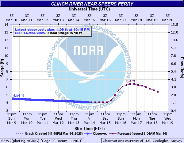
Clinch River near Speers Ferry
Critical Stages
16' - Action
18' - Flood
28' - Moderate
32' - Major
Latest Observation
Updated: 2:15 PM EST 12/12/25
Status: No Flooding
Stage: 3.8 ft
Flow: 0.928 kcfs
Forecast
| Time | Stage (ft) | Flow (kcfs) |
|---|---|---|
| 7 PM 12/12 | 3.9 | 0.998 |
| 1 AM 12/13 | 3.9 | 0.998 |
| 7 AM 12/13 | 4 | 1.07 |
| 1 PM 12/13 | 4 | 1.07 |
| 7 PM 12/13 | 4 | 1.07 |
| 1 AM 12/14 | 4 | 1.07 |
| 7 AM 12/14 | 3.9 | 0.998 |
| 1 PM 12/14 | 3.9 | 0.998 |
| 7 PM 12/14 | 3.8 | 0.928 |
| 1 AM 12/15 | 3.8 | 0.928 |
| 7 AM 12/15 | 3.7 | 0.862 |
| 1 PM 12/15 | 3.7 | 0.862 |
| 7 PM 12/15 | 3.7 | 0.862 |
| 1 AM 12/16 | 3.6 | 0.799 |
| 7 AM 12/16 | 3.6 | 0.799 |
| 1 PM 12/16 | 3.6 | 0.799 |
| 7 PM 12/16 | 3.5 | 0.738 |
| 1 AM 12/17 | 3.5 | 0.738 |
| 7 AM 12/17 | 3.5 | 0.738 |
| Time | Stage (ft) | Flow (kcfs) |
|---|---|---|
| 2:15 PM 12/12 | 3.8 | 0.928 |
| 2:00 PM 12/12 | 3.8 | 0.928 |
| 1:45 PM 12/12 | 3.8 | 0.928 |
| 1:30 PM 12/12 | 3.8 | 0.928 |
| 1:15 PM 12/12 | 3.79 | 0.922 |
| 1:00 PM 12/12 | 3.79 | 0.922 |
| 12:45 PM 12/12 | 3.79 | 0.922 |
| 12:30 PM 12/12 | 3.79 | 0.922 |
| 12:15 PM 12/12 | 3.79 | 0.922 |
| 12:00 PM 12/12 | 3.79 | 0.922 |
| 11:45 AM 12/12 | 3.79 | 0.922 |
| 11:30 AM 12/12 | 3.79 | 0.922 |
| 11:15 AM 12/12 | 3.79 | 0.922 |
| 11:00 AM 12/12 | 3.79 | 0.922 |
| 10:45 AM 12/12 | 3.79 | 0.922 |
| 10:30 AM 12/12 | 3.79 | 0.922 |
| 10:15 AM 12/12 | 3.79 | 0.922 |
| 10:00 AM 12/12 | 3.79 | 0.922 |
| 9:45 AM 12/12 | 3.79 | 0.922 |
| 9:30 AM 12/12 | 3.79 | 0.922 |
| 9:15 AM 12/12 | 3.79 | 0.922 |
| 9:00 AM 12/12 | 3.78 | 0.915 |
| 8:45 AM 12/12 | 3.78 | 0.915 |
| 8:30 AM 12/12 | 3.79 | 0.922 |
| 8:15 AM 12/12 | 3.79 | 0.922 |
| 8:00 AM 12/12 | 3.79 | 0.922 |
| 7:45 AM 12/12 | 3.79 | 0.922 |
| 7:30 AM 12/12 | 3.78 | 0.915 |
| 7:15 AM 12/12 | 3.78 | 0.915 |
| 7:00 AM 12/12 | 3.78 | 0.915 |
44' -
The river reaches the Highway 23/58 bridge.
32' -
Widespread flooding is likely and evacuations continue. Damage to buildings and roads.
28' -
Several homes are flooded. Evacuations are likely.
24' -
A few additional homes are affected. Evacuations are possible.
21' -
Additional flooding on Waters Edge Road. Low spots on Anglers Way Rd flood. One or two houses are threatened. Most riverside dwellings along Anglers Way Road are in the flood plain, lower than the road, but are mobile such as campers or fifth-wheelers. The parking lot of the Clinchport Boat Ramp off of Clinch River Hwy floods.
19.5' -
The gravel lot portion of an RV campground 0.8 miles upstream from the Clinchport Boat Ramp floods.
18.5' -
Bridge Street floods off of Clinch River Hwy near the suspension foot bridge. The grassy lot portion of an RV campground 0.8 miles upstream from the Clinchport Boat Ramp floods.
18' -
Low spots along Waters Edge Road flood. Most structures along Waters Edge Road are opposite the river and uphill from the road.
14' -
Copper Creek Road at the Rexrena Access floods.
| Date | Stage (ft) |
|---|---|
| Apr 5, 1977 | 36.69 |
| Feb 1, 1862 | 33 |
| Mar 19, 2002 | 32.45 |
| Mar 12, 1963 | 29.93 |
| Jan 30, 1957 | 28.92 |
| Feb 7, 2020 | 28.91 |
| Mar 17, 1973 | 28.19 |
| Feb 16, 2025 | 28.16 |
| Mar 5, 2015 | 28.07 |
| Dec 31, 1969 | 27.43 |
| Jan 26, 1978 | 27.23 |
| Feb 11, 1994 | 27 |
| Feb 11, 2018 | 26.78 |
| Feb 28, 1902 | 26.6 |
| May 7, 1984 | 26.54 |
| Feb 24, 2019 | 26.52 |
| Apr 24, 2017 | 25.77 |
| Mar 30, 1975 | 25.19 |
| Dec 22, 1926 | 24.7 |
| Feb 16, 2003 | 24.5 |
Data provided by the National Weather Service.