Broad River in NC/SC at Parr Reservoir
Critical Stages
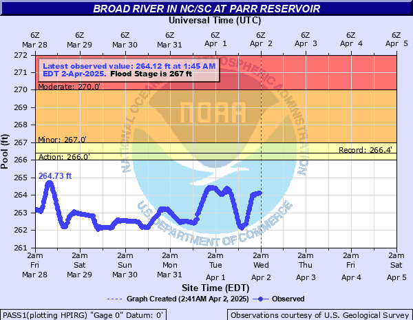
266' - Action
267' - Flood
270' - Moderate
272' - Major
Latest Observation
Updated: 11:45 PM EST 12/14/25
Status: No Flooding
Stage: 258.68 ft
Flow: -999 kcfs
Forecast
Forecast not available for this location.
| Time | Stage (ft) | Flow (kcfs) |
|---|---|---|
| 11:45 PM 12/14 | 258.68 | -999 |
| 11:30 PM 12/14 | 258.69 | -999 |
| 11:15 PM 12/14 | 258.68 | -999 |
| 11:00 PM 12/14 | 258.68 | -999 |
| 10:45 PM 12/14 | 258.68 | -999 |
| 10:30 PM 12/14 | 258.68 | -999 |
| 10:15 PM 12/14 | 258.69 | -999 |
| 10:00 PM 12/14 | 258.68 | -999 |
| 9:45 PM 12/14 | 258.67 | -999 |
| 9:30 PM 12/14 | 258.65 | -999 |
| 9:15 PM 12/14 | 258.67 | -999 |
| 9:00 PM 12/14 | 258.67 | -999 |
| 8:45 PM 12/14 | 258.67 | -999 |
| 8:30 PM 12/14 | 258.67 | -999 |
| 8:15 PM 12/14 | 258.66 | -999 |
| 8:00 PM 12/14 | 258.68 | -999 |
| 7:45 PM 12/14 | 258.69 | -999 |
| 7:30 PM 12/14 | 258.67 | -999 |
| 7:15 PM 12/14 | 258.66 | -999 |
| 7:00 PM 12/14 | 258.66 | -999 |
| 6:45 PM 12/14 | 258.67 | -999 |
| 6:30 PM 12/14 | 258.66 | -999 |
| 6:15 PM 12/14 | 258.67 | -999 |
| 6:00 PM 12/14 | 258.68 | -999 |
| 5:45 PM 12/14 | 258.68 | -999 |
| 5:30 PM 12/14 | 258.67 | -999 |
| 5:15 PM 12/14 | 258.7 | -999 |
| 5:00 PM 12/14 | 258.73 | -999 |
| 4:45 PM 12/14 | 258.71 | -999 |
| 4:30 PM 12/14 | 258.71 | -999 |
290' -
Two residences and Hughey Ferry road would flood.
280' -
New Hope Road would flood at Hellers Creek and at Cannon Creek if river level goes to a level between 280 and 290 feet.
272' -
Roads near Southern Railroad tracks flood along with one residence being flooded or being threatened by flood water.
270' -
Large areas of lowland near the river flood.
267' -
Flood stage - water begins to flood the lowest areas along the river.
| Date | Stage (ft) |
|---|---|
| Dec 16, 2008 | 266.42 |
| Sep 27, 2008 | 266.33 |
| Jan 31, 2008 | 266.25 |
| Dec 4, 2008 | 266.19 |
| Apr 1, 2008 | 266.16 |
| Apr 17, 2008 | 266.11 |
| Mar 22, 2010 | 266.07 |
| Sep 10, 2008 | 266.07 |
| Dec 27, 2007 | 266.03 |
| Mar 4, 2008 | 266.02 |
| Mar 18, 2008 | 266.01 |
Data provided by the National Weather Service.