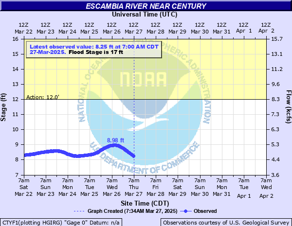
Escambia River near Century
Critical Stages
12' - Action
17' - Flood
25' - Moderate
37' - Major
Latest Observation
Updated: 4:00 PM CST 12/16/25
Status: No Flooding
Stage: 3.86 ft
Flow: 1.5 kcfs
Forecast
Forecast not available for this location.
| Time | Stage (ft) | Flow (kcfs) |
|---|---|---|
| 4:00 PM 12/16 | 3.86 | 1.5 |
| 3:45 PM 12/16 | 3.86 | 1.5 |
| 3:30 PM 12/16 | 3.87 | 1.5 |
| 3:15 PM 12/16 | 3.88 | 1.51 |
| 3:00 PM 12/16 | 3.88 | 1.51 |
| 2:45 PM 12/16 | 3.88 | 1.51 |
| 2:30 PM 12/16 | 3.89 | 1.52 |
| 2:15 PM 12/16 | 3.9 | 1.52 |
| 2:00 PM 12/16 | 3.9 | 1.52 |
| 1:45 PM 12/16 | 3.91 | 1.53 |
| 1:30 PM 12/16 | 3.91 | 1.53 |
| 1:15 PM 12/16 | 3.92 | 1.53 |
| 11:00 AM 12/16 | 3.97 | 1.56 |
| 10:45 AM 12/16 | 3.98 | 1.57 |
| 10:30 AM 12/16 | 3.98 | 1.57 |
| 10:15 AM 12/16 | 3.99 | 1.58 |
| 10:00 AM 12/16 | 3.99 | 1.58 |
| 9:45 AM 12/16 | 4 | 1.58 |
| 9:30 AM 12/16 | 4 | 1.58 |
| 9:15 AM 12/16 | 4.01 | 1.59 |
| 9:00 AM 12/16 | 4.02 | 1.59 |
| 8:45 AM 12/16 | 4.02 | 1.59 |
| 8:30 AM 12/16 | 4.03 | 1.6 |
| 8:15 AM 12/16 | 4.03 | 1.6 |
| 8:00 AM 12/16 | 4.04 | 1.61 |
| 7:45 AM 12/16 | 4.04 | 1.61 |
| 7:30 AM 12/16 | 4.05 | 1.61 |
| 7:15 AM 12/16 | 4.06 | 1.62 |
| 7:00 AM 12/16 | 4.06 | 1.62 |
| 6:45 AM 12/16 | 4.07 | 1.62 |
37' -
Severe flooding in Century.
34' -
Some flooding in the eastern sections of Century.
33.2' -
Bridge flood of Highway 4 floods.
24.2' -
RECORD FLOOD of March 18th 1990 - Water enters several houses on Worley Road, Daffin Road, and Fairground Road.
23.7' -
Second highest record flood - Approximately 8 houses become isolated and sections of Mystic Springs Road, River Bend Road and Fairground Road are impassable. Water from the river flows into ponds at B and L Catfish Farm on Mystic Road.
23.3' -
Widespread flooding of pasture and farm land. Water begins to reach Mystic Springs Road, Worley Road, Mamer Holley Lane and River Bend Road. Approximately 5 houses become isolated in the McDavid and Molino communities. Public boat ramps at Mystic Springs and Fairground Road are submerged.
19' -
Low lying pastures will flood. Cattle should be moved to higher ground.
17' -
Considerable flooding of lowlands.
13' -
Minor overflow of lowlands in the area.
| Date | Stage (ft) |
|---|---|
| Mar 15, 1929 | 37.8 |
| Mar 18, 1990 | 24.35 |
| Sep 30, 1998 | 23.84 |
| Mar 9, 1998 | 23.7 |
| Apr 12, 1975 | 23.32 |
| Dec 16, 2009 | 23.23 |
| Dec 16, 2009 | 23.22 |
| Apr 5, 1960 | 20.94 |
| Sep 18, 2020 | 20.85 |
| Apr 8, 1973 | 20.84 |
| Mar 22, 1938 | 20.66 |
| Mar 26, 1943 | 20.57 |
| Apr 15, 1955 | 20.51 |
| Oct 6, 1995 | 20.47 |
| Dec 2, 1948 | 20.43 |
| Jan 27, 1978 | 20.28 |
| Jun 5, 1970 | 20.27 |
| Mar 10, 2001 | 20.19 |
| Feb 12, 1981 | 20.16 |
| Dec 31, 2015 | 20.15 |
Data provided by the National Weather Service.