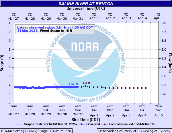
Saline River at Benton
Critical Stages
17' - Action
18' - Flood
24' - Moderate
26' - Major
Latest Observation
Updated: 7:30 PM CST 12/8/25
Status: No Flooding
Stage: 3.71 ft
Flow: 0.147 kcfs
Forecast
| Time | Stage (ft) | Flow (kcfs) |
|---|---|---|
| 12 AM 12/9 | 3.7 | 0.144 |
| 6 AM 12/9 | 3.7 | 0.144 |
| 12 PM 12/9 | 3.7 | 0.144 |
| 6 PM 12/9 | 3.7 | 0.144 |
| 12 AM 12/10 | 3.7 | 0.144 |
| 6 AM 12/10 | 3.7 | 0.144 |
| 12 PM 12/10 | 3.7 | 0.144 |
| 6 PM 12/10 | 3.7 | 0.144 |
| 12 AM 12/11 | 3.7 | 0.144 |
| 6 AM 12/11 | 3.7 | 0.144 |
| 12 PM 12/11 | 3.7 | 0.144 |
| 6 PM 12/11 | 3.7 | 0.144 |
| 12 AM 12/12 | 3.7 | 0.144 |
| 6 AM 12/12 | 3.7 | 0.144 |
| 12 PM 12/12 | 3.7 | 0.144 |
| 6 PM 12/12 | 3.6 | 0.114 |
| 12 AM 12/13 | 3.6 | 0.114 |
| 6 AM 12/13 | 3.6 | 0.114 |
| Time | Stage (ft) | Flow (kcfs) |
|---|---|---|
| 7:30 PM 12/8 | 3.71 | 0.147 |
| 7:15 PM 12/8 | 3.71 | 0.147 |
| 7:00 PM 12/8 | 3.71 | 0.147 |
| 6:45 PM 12/8 | 3.71 | 0.147 |
| 6:30 PM 12/8 | 3.71 | 0.147 |
| 6:15 PM 12/8 | 3.71 | 0.147 |
| 6:00 PM 12/8 | 3.71 | 0.147 |
| 5:45 PM 12/8 | 3.71 | 0.147 |
| 5:30 PM 12/8 | 3.71 | 0.147 |
| 5:15 PM 12/8 | 3.71 | 0.147 |
| 5:00 PM 12/8 | 3.71 | 0.147 |
| 4:45 PM 12/8 | 3.71 | 0.147 |
| 4:30 PM 12/8 | 3.71 | 0.147 |
| 4:15 PM 12/8 | 3.71 | 0.147 |
| 4:00 PM 12/8 | 3.71 | 0.147 |
| 3:45 PM 12/8 | 3.71 | 0.147 |
| 3:30 PM 12/8 | 3.71 | 0.147 |
| 3:15 PM 12/8 | 3.71 | 0.147 |
| 3:00 PM 12/8 | 3.71 | 0.147 |
| 2:45 PM 12/8 | 3.71 | 0.147 |
| 2:30 PM 12/8 | 3.71 | 0.147 |
| 2:15 PM 12/8 | 3.71 | 0.147 |
| 2:00 PM 12/8 | 3.72 | 0.151 |
| 1:45 PM 12/8 | 3.71 | 0.147 |
| 1:30 PM 12/8 | 3.71 | 0.147 |
| 1:15 PM 12/8 | 3.71 | 0.147 |
| 1:00 PM 12/8 | 3.71 | 0.147 |
| 12:45 PM 12/8 | 3.71 | 0.147 |
| 12:30 PM 12/8 | 3.71 | 0.147 |
| 12:15 PM 12/8 | 3.71 | 0.147 |
30' -
Flood of record, 30.5 feet in April 1st 1927.
29' -
Flood of September 4th 2008 from the rainfall of Hurricane Gustav crested at 29.27 feet. Expect similar impacts. Homes along the lower end of River Street and Side Streets and also the manufactured home subdivision along Henry Street flooded.
28' -
Homes may be flooded on River Street and the side streets. The manufactured home subdivision along Henry Street is flooding. River reached 29.3 feet in September 2008 from Hurricane Gustav rainfall.
26' -
Serious flooding begins at this level, there will be problems in the industrial area, near the airport, and along the water supply impoundment downstream of Interstate 30 and the nearby manufactured home subdivision. Watch for flooding of low lying roads.
24' -
Moderate flooding begins at this level. River Street in Southwest Benton may be flooded by backwater up Willow Depot Creek, especially if there is heavy rain in the Benton area during the high river level. Also, possible flooding up McNeil and Salt Creeks.
22' -
Commercial and industrial facilities in the flood plain along the left bank may be affected. Water is deep in the pastures along the west bank.
20' -
Pastures along west bank will flood. There may be some low lying county roads near the river flooding.
18' -
Minor flooding begins at 18 feet, flooding of low lying pastures along the west bank.
| Date | Stage (ft) |
|---|---|
| Apr 1, 1927 | 30.5 |
| Jan 30, 1969 | 29.68 |
| Sep 4, 2008 | 29.27 |
| Dec 25, 2009 | 27.63 |
| Mar 8, 1990 | 26.62 |
| May 14, 1968 | 26.5 |
| Apr 6, 2025 | 26.4 |
| Dec 4, 1982 | 26.37 |
| Apr 22, 1974 | 26.14 |
| Dec 4, 1952 | 25.28 |
| Oct 19, 1984 | 24.93 |
| Nov 19, 1988 | 24.67 |
| May 2, 1954 | 24.49 |
| Nov 20, 1988 | 24.2 |
| Feb 22, 2018 | 23.89 |
| Nov 22, 2011 | 23.74 |
| Dec 4, 1993 | 23.47 |
| Feb 11, 1998 | 23.22 |
| May 12, 2023 | 22.97 |
| May 12, 2015 | 22.87 |
Data provided by the National Weather Service.