« Back to Lumber Bridge Rivers
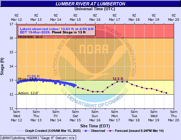
Lumber River at Lumberton
Critical Stages
12' - Action
13' - Flood
16' - Moderate
19' - Major
Latest Observation
Updated: 1:05 PM EST 12/13/25
Status: No Flooding
Stage: 9.49 ft
Flow: -999 kcfs
Forecast
| Time | Stage (ft) | Flow (kcfs) |
|---|---|---|
| 7 PM 12/13 | 9.4 | -999 |
| 1 AM 12/14 | 9.3 | -999 |
| 7 AM 12/14 | 9.3 | -999 |
| 1 PM 12/14 | 9.2 | -999 |
| 7 PM 12/14 | 9.2 | -999 |
| 1 AM 12/15 | 9.1 | -999 |
| 7 AM 12/15 | 9.1 | -999 |
| 1 PM 12/15 | 9 | -999 |
| 7 PM 12/15 | 9 | -999 |
| 1 AM 12/16 | 8.9 | -999 |
| 7 AM 12/16 | 8.9 | -999 |
| 1 PM 12/16 | 8.8 | -999 |
| 7 PM 12/16 | 8.7 | -999 |
| 1 AM 12/17 | 8.7 | -999 |
| 7 AM 12/17 | 8.7 | -999 |
| 1 PM 12/17 | 8.6 | -999 |
| 7 PM 12/17 | 8.6 | -999 |
| 1 AM 12/18 | 8.6 | -999 |
| 7 AM 12/18 | 8.6 | -999 |
| Time | Stage (ft) | Flow (kcfs) |
|---|---|---|
| 1:05 PM 12/13 | 9.49 | -999 |
| 12:50 PM 12/13 | 9.49 | -999 |
| 12:35 PM 12/13 | 9.49 | -999 |
| 12:20 PM 12/13 | 9.49 | -999 |
| 12:05 PM 12/13 | 9.5 | -999 |
| 11:50 AM 12/13 | 9.5 | -999 |
| 11:35 AM 12/13 | 9.5 | -999 |
| 11:25 AM 12/13 | 9.5 | -999 |
| 11:05 AM 12/13 | 9.51 | -999 |
| 10:50 AM 12/13 | 9.51 | -999 |
| 10:35 AM 12/13 | 9.51 | -999 |
| 10:30 AM 12/13 | 9.52 | -999 |
| 10:05 AM 12/13 | 9.52 | -999 |
| 9:50 AM 12/13 | 9.52 | -999 |
| 9:35 AM 12/13 | 9.53 | -999 |
| 9:20 AM 12/13 | 9.54 | -999 |
| 9:05 AM 12/13 | 9.54 | -999 |
| 8:50 AM 12/13 | 9.54 | -999 |
| 8:35 AM 12/13 | 9.54 | -999 |
| 8:20 AM 12/13 | 9.55 | -999 |
| 8:05 AM 12/13 | 9.55 | -999 |
| 7:50 AM 12/13 | 9.55 | -999 |
| 7:35 AM 12/13 | 9.55 | -999 |
| 7:20 AM 12/13 | 9.56 | -999 |
| 7:05 AM 12/13 | 9.56 | -999 |
| 6:50 AM 12/13 | 9.56 | -999 |
| 6:35 AM 12/13 | 9.56 | -999 |
| 6:20 AM 12/13 | 9.57 | -999 |
| 6:05 AM 12/13 | 9.58 | -999 |
| 5:50 AM 12/13 | 9.58 | -999 |
26' -
Interstate 95 is flooded where it crosses the river between exit 17 and exit 19.
19' -
Extensive flooding occurs along the river. Over 50 dwellings will be inundated or isolated due to the flood waters and several roads will be closed especially in the Pines area and Coxs Pond area. Carthage Road may be completely covered with water.
18' -
Flood waters deepen in the Pines and Coxs Pond areas as well as along River Road. Flood waters may affect Carthage Road. Several homes will become isolated or inundated between the Pepsi plant and the river. Chickenfoot Road, Hestertown Road and Noir Street will be closed.
17' -
Flooding worsens west of Interstate 95 and water may begin surrounding homes in the Pines and Coxs Pond areas. Homes off River Road may become isolated by flood waters. Water may also affect yards off Planetarium Road and fields off deep Branch Road. East of Lumberton, the lowest homes in the Pines area may be flooded and homes may be surrounded by water in the Pines area and between the Pepsi plant and the river. Chickenfoot Road, Noir Street and Hestertown Road may be impassable.
16' -
Flooding worsens in the Pines and Coxs Pond areas as well as along River Road. Flooding also worsens between the Pepsi plant and the river on the east side of town. In addition, Chickenfoot Road, Hestertown Road and Noir Street will have flood waters on them.
15' -
Flood waters will affect yards in the Pines area, Coxs Pond area, and along River Road. Additional residential property will be affected between the Pepsi plant and the river on the east side of Lumberton.
13' -
Low land flooding will occur along the river. The flood waters may affect some residential property as water backs up into the drainage ditches in the city.
11' -
Low land flooding will occur along the river.
| Date | Stage (ft) |
|---|---|
| Sep 17, 2018 | 29 |
| Oct 9, 2016 | 28 |
| Aug 12, 2024 | 21.48 |
| Feb 20, 2021 | 21.06 |
| Aug 10, 2024 | 20.78 |
| Sep 11, 2004 | 20.48 |
| Oct 19, 1999 | 20.04 |
| Feb 5, 1998 | 19.47 |
| Nov 19, 2018 | 18.82 |
| Dec 16, 2018 | 18.51 |
| Dec 26, 2015 | 18.31 |
| Mar 25, 1998 | 18.23 |
| Jan 2, 2016 | 18.09 |
| Nov 14, 2020 | 18.08 |
| Mar 12, 1998 | 18.06 |
| Sep 11, 2008 | 17.87 |
| Jan 26, 2000 | 17.8 |
| Feb 15, 2021 | 17.73 |
| Sep 23, 1999 | 17.5 |
| Feb 9, 2020 | 17.46 |
Data provided by the National Weather Service.