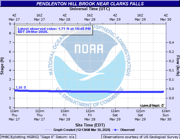
Pendlenton Hill Brook near Clarks Falls
Critical Stages
Action
Flood
Moderate
Major
Latest Observation
Updated: 8:45 AM EST 12/16/25
Status: Not Defined
Stage: 1.39 ft
Flow: 0.0056 kcfs
Forecast
Forecast not available for this location.
| Time | Stage (ft) | Flow (kcfs) |
|---|---|---|
| 9:45 AM 12/16 | 1.39 | 0.0056 |
| 9:30 AM 12/16 | 1.39 | 0.0056 |
| 9:15 AM 12/16 | 1.39 | 0.0056 |
| 9:00 AM 12/16 | 1.39 | 0.0056 |
| 8:45 AM 12/16 | 1.39 | 0.0056 |
| 8:30 AM 12/16 | 1.39 | 0.0056 |
| 8:15 AM 12/16 | 1.39 | 0.0056 |
| 8:00 AM 12/16 | 1.39 | 0.0056 |
| 7:45 AM 12/16 | 1.39 | 0.0056 |
| 7:30 AM 12/16 | 1.39 | 0.0056 |
| 7:15 AM 12/16 | 1.39 | 0.0056 |
| 7:00 AM 12/16 | 1.39 | 0.0056 |
| 6:45 AM 12/16 | 1.39 | 0.0056 |
| 6:30 AM 12/16 | 1.39 | 0.0056 |
| 6:15 AM 12/16 | 1.39 | 0.0056 |
| 6:00 AM 12/16 | 1.39 | 0.0056 |
| 5:45 AM 12/16 | 1.39 | 0.0056 |
| 5:30 AM 12/16 | 1.39 | 0.0056 |
| 5:15 AM 12/16 | 1.39 | 0.0056 |
| 5:00 AM 12/16 | 1.39 | 0.0056 |
| 4:45 AM 12/16 | 1.39 | 0.0056 |
| 4:30 AM 12/16 | 1.39 | 0.0056 |
| 4:15 AM 12/16 | 1.39 | 0.0056 |
| 4:00 AM 12/16 | 1.39 | 0.0056 |
| 3:45 AM 12/16 | 1.39 | 0.0056 |
| 3:30 AM 12/16 | 1.38 | 0.0052 |
| 3:15 AM 12/16 | 1.38 | 0.0052 |
| 3:00 AM 12/16 | 1.38 | 0.0052 |
| 2:45 AM 12/16 | 1.38 | 0.0052 |
| 2:30 AM 12/16 | 1.38 | 0.0052 |
No flood impact data available for this location.
Historical crest information is not available.
Data provided by the National Weather Service.