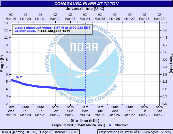
Conasauga River at Tilton
Critical Stages
15' - Action
18' - Flood
24' - Moderate
28' - Major
Latest Observation
Updated: 2:00 AM EST 12/5/25
Status: No Flooding
Stage: 3.08 ft
Flow: 0.367 kcfs
Forecast
Forecast not available for this location.
| Time | Stage (ft) | Flow (kcfs) |
|---|---|---|
| 2:00 AM 12/5 | 3.08 | 0.367 |
| 1:45 AM 12/5 | 3.08 | 0.367 |
| 1:30 AM 12/5 | 3.07 | 0.364 |
| 1:15 AM 12/5 | 3.08 | 0.367 |
| 1:00 AM 12/5 | 3.08 | 0.367 |
| 12:45 AM 12/5 | 3.08 | 0.367 |
| 12:30 AM 12/5 | 3.08 | 0.367 |
| 12:15 AM 12/5 | 3.08 | 0.367 |
| 12:00 AM 12/5 | 3.08 | 0.367 |
| 11:45 PM 12/4 | 3.08 | 0.367 |
| 11:30 PM 12/4 | 3.08 | 0.367 |
| 11:15 PM 12/4 | 3.08 | 0.367 |
| 11:00 PM 12/4 | 3.08 | 0.367 |
| 10:45 PM 12/4 | 3.09 | 0.371 |
| 10:30 PM 12/4 | 3.09 | 0.371 |
| 10:15 PM 12/4 | 3.09 | 0.371 |
| 10:00 PM 12/4 | 3.09 | 0.371 |
| 9:45 PM 12/4 | 3.09 | 0.371 |
| 9:30 PM 12/4 | 3.09 | 0.371 |
| 9:15 PM 12/4 | 3.09 | 0.371 |
| 9:00 PM 12/4 | 3.09 | 0.371 |
| 8:45 PM 12/4 | 3.09 | 0.371 |
| 8:30 PM 12/4 | 3.09 | 0.371 |
| 8:15 PM 12/4 | 3.09 | 0.371 |
| 8:00 PM 12/4 | 3.09 | 0.371 |
| 7:45 PM 12/4 | 3.09 | 0.371 |
| 7:30 PM 12/4 | 3.09 | 0.371 |
| 7:15 PM 12/4 | 3.09 | 0.371 |
| 7:00 PM 12/4 | 3.1 | 0.375 |
| 6:45 PM 12/4 | 3.1 | 0.375 |
29' -
Major flooding continues with widespread inundation flooding in the woodlands...fields and pastures along the river upstream and downstream from the Bracketts Ridge Road bridge. The flood waters will be near the foundation of an industrial minerals factory near the gage. The water level reaches the floor of the USGS concrete structure gage house on the left bank and downstream from the bridge.
28' -
Major flooding begins. Widespread inundation flooding occurs in the woodlands...fields and pastures along the river upstream and downstream from the Bracketts Ridge Road bridge. The flood waters will approach an industrial minerals factory near the gage.
26' -
Significant flooding expands much further into the woodlands...fields and pastures along the river upstream and downstream from the Brackett Ridge Road bridge.
24' -
Moderate flooding begins. Significant flooding expands into the woodlands...fields and pastures along the river upstream and downstream from the Brackett Ridge Road bridge.
21' -
Minor flooding continues to expand further into the woodlands...fields and pastures along the river upstream and downstream from the gage on the Brackett Ridge Road bridge.
18' -
Flood stage is reached. Minor flooding begins in the woodlands...fields and pastures along the river upstream and downstream from the gage on the Brackett Ridge Road bridge.
15' -
Bankfull conditions are reached along the river upstream and downstream from the gage on the Brackett Ridge Road bridge.
| Date | Stage (ft) |
|---|---|
| Apr 1, 1886 | 34 |
| Mar 30, 1951 | 30.2 |
| Feb 17, 1990 | 29.89 |
| Mar 29, 1994 | 28.42 |
| Mar 18, 1973 | 28.13 |
| Jan 21, 1947 | 27.7 |
| Feb 3, 1957 | 27.3 |
| Nov 30, 1948 | 27.3 |
| Nov 30, 1947 | 27.3 |
| Mar 23, 1980 | 26.73 |
| May 9, 2003 | 26.67 |
| Feb 12, 1946 | 26.3 |
| Mar 15, 1950 | 26.1 |
| Dec 20, 1961 | 26.1 |
| Dec 28, 2015 | 25.99 |
| Mar 17, 1964 | 25.74 |
| Feb 18, 1995 | 25.66 |
| Dec 31, 1942 | 25.6 |
| Apr 10, 1938 | 25.4 |
| Mar 28, 1965 | 25.1 |
Data provided by the National Weather Service.