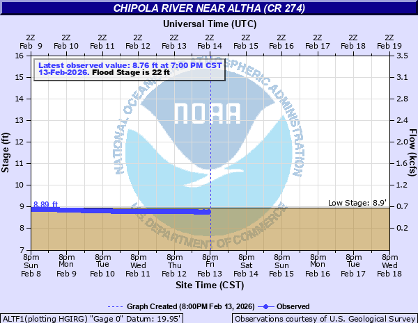
Chipola River near Altha (CR 274)
Critical Stages
18' - Action
22' - Flood
23' - Moderate
30' - Major
Latest Observation
Updated: 7:00 PM CST 12/7/25
Status: No Flooding
Stage: 9.01 ft
Flow: 0.693 kcfs
Forecast
Forecast not available for this location.
| Time | Stage (ft) | Flow (kcfs) |
|---|---|---|
| 8:00 PM 12/7 | 9.01 | 0.693 |
| 7:45 PM 12/7 | 9.01 | 0.693 |
| 7:30 PM 12/7 | 9.01 | 0.693 |
| 7:15 PM 12/7 | 9.01 | 0.693 |
| 7:00 PM 12/7 | 9.01 | 0.693 |
| 6:45 PM 12/7 | 9.01 | 0.693 |
| 6:30 PM 12/7 | 9.01 | 0.693 |
| 6:15 PM 12/7 | 9 | 0.688 |
| 6:00 PM 12/7 | 9.01 | 0.693 |
| 5:45 PM 12/7 | 9.01 | 0.693 |
| 5:30 PM 12/7 | 9 | 0.688 |
| 5:15 PM 12/7 | 9 | 0.688 |
| 5:00 PM 12/7 | 9 | 0.688 |
| 4:45 PM 12/7 | 9 | 0.688 |
| 4:30 PM 12/7 | 9 | 0.688 |
| 4:15 PM 12/7 | 9 | 0.688 |
| 4:00 PM 12/7 | 9 | 0.688 |
| 3:45 PM 12/7 | 9 | 0.688 |
| 3:30 PM 12/7 | 9 | 0.688 |
| 3:15 PM 12/7 | 9 | 0.688 |
| 3:00 PM 12/7 | 9 | 0.688 |
| 2:45 PM 12/7 | 8.99 | 0.683 |
| 2:30 PM 12/7 | 8.99 | 0.683 |
| 2:15 PM 12/7 | 8.99 | 0.683 |
| 2:00 PM 12/7 | 8.99 | 0.683 |
| 1:45 PM 12/7 | 8.99 | 0.683 |
| 1:30 PM 12/7 | 8.99 | 0.683 |
| 1:15 PM 12/7 | 8.99 | 0.683 |
| 1:00 PM 12/7 | 8.99 | 0.683 |
| 12:45 PM 12/7 | 8.98 | 0.677 |
30' -
Major flood damage will occur.
28.5' -
Water will reach the highway 274 bridge and approach the road.
23' -
Water will start to affect houses and mobile homes in the flood plain downstream from the gage. A few fish camps downstream of highway 20 will be affected by flood water.
22' -
Minor lowland flooding will occur. Lamb Eddy Road near the boat ramp will flood.
| Date | Stage (ft) |
|---|---|
| Sep 20, 1926 | 33.55 |
| Apr 5, 1948 | 32.2 |
| Apr 4, 2009 | 30.79 |
| Mar 13, 1998 | 30.73 |
| Apr 4, 2009 | 30.66 |
| Jul 11, 1994 | 29.6 |
| Apr 16, 1975 | 29.43 |
| Mar 2, 2013 | 28.94 |
| Apr 8, 1960 | 28.42 |
| Apr 5, 2016 | 28.33 |
| May 5, 2014 | 27.89 |
| Mar 14, 1978 | 26.98 |
| Sep 22, 2020 | 26.61 |
| Sep 18, 2020 | 26.56 |
| Mar 13, 1947 | 26.42 |
| Dec 9, 2018 | 26.35 |
| Feb 12, 1986 | 26.05 |
| May 7, 1964 | 26.05 |
| Apr 17, 2014 | 25.46 |
| Oct 2, 1929 | 25.2 |
Data provided by the National Weather Service.