« Back to Marshall County Rivers
Indian Creek (AL) at Madison
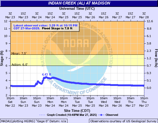
Critical Stages
6' - Action
7.5' - Flood
12' - Moderate
16' - Major
Latest Observation
Updated: 2:15 AM CST 12/15/25
Status: No Flooding
Stage: 3.01 ft
Flow: 0.0187 kcfs
Forecast
Forecast not available for this location.
| Time | Stage (ft) | Flow (kcfs) |
|---|---|---|
| 2:15 AM 12/15 | 3.01 | 0.0187 |
| 2:00 AM 12/15 | 3.01 | 0.0187 |
| 1:45 AM 12/15 | 3.01 | 0.0187 |
| 1:30 AM 12/15 | 3.01 | 0.0187 |
| 1:15 AM 12/15 | 3.01 | 0.0187 |
| 1:00 AM 12/15 | 3.01 | 0.0187 |
| 12:45 AM 12/15 | 3.01 | 0.0187 |
| 12:30 AM 12/15 | 3.01 | 0.0187 |
| 12:15 AM 12/15 | 3.01 | 0.0187 |
| 12:00 AM 12/15 | 3.01 | 0.0187 |
| 11:45 PM 12/14 | 3.01 | 0.0187 |
| 11:30 PM 12/14 | 3.01 | 0.0187 |
| 11:15 PM 12/14 | 3.01 | 0.0187 |
| 11:00 PM 12/14 | 3.01 | 0.0187 |
| 10:45 PM 12/14 | 3.01 | 0.0187 |
| 10:30 PM 12/14 | 3.02 | 0.0191 |
| 10:15 PM 12/14 | 3.02 | 0.0191 |
| 10:00 PM 12/14 | 3.02 | 0.0191 |
| 9:45 PM 12/14 | 3.02 | 0.0191 |
| 9:30 PM 12/14 | 3.02 | 0.0191 |
| 9:15 PM 12/14 | 3.02 | 0.0191 |
| 9:00 PM 12/14 | 3.02 | 0.0191 |
| 8:45 PM 12/14 | 3.02 | 0.0191 |
| 8:30 PM 12/14 | 3.02 | 0.0191 |
| 8:15 PM 12/14 | 3.02 | 0.0191 |
| 8:00 PM 12/14 | 3.02 | 0.0191 |
| 7:45 PM 12/14 | 3.02 | 0.0191 |
| 7:30 PM 12/14 | 3.02 | 0.0191 |
| 7:15 PM 12/14 | 3.02 | 0.0191 |
| 7:00 PM 12/14 | 3.03 | 0.0195 |
24' -
Upstream of gage, water overtops new bridge over Indian Creek on Old Madison Pike. At the gage site, Major Flooding ongoing. Highway 20 and Interstate 565 closed. Nearby businesses under water with evacuations likely in a large portion of the western portion of Madison County.
23' -
Upstream from the gage, water likely overtops Old Madison Pike East/West of the Indian Creek Bridge. Evacuations likely at nearby homes/apartments.
16' -
At gage, water overtops Highway 20 bridge. Major flooding ongoing at nearby businesses. Interstate 565 may begin to be affected. Evacuations likely ongoing at this point at the gage site, with evatuations possible upstream of the gage site on Old Madison Pike.
13' -
Upstream from the gage site, water begins affecting the church parking lot on Old Madison Pike, just west of the bridge over Indian Creek. Sports facility at the nearby high school is likely inundated with at least a foot of water.
12' -
At gage, water begins affecting nearby parking lots of businesses. Upstream of gage site, Greenway completely covered with a foot or more of water. Creekwood Park Playground and parking lot completely underwater and inaccessible. Tributaries upstream of the gage in NW Madison County likely experiencing Moderate Flooding.
8' -
Creekwood Park Playground is mostly covered by water. Parking lot still accessible. Large portion of Greenway covered with several inches of water. Well upstream of the gage site is likely experiencing minor flooding of tributaries that feed into Indian Creek Basin in NW Madison County.
7.5' -
Bank-full at gage site on Highway 20 bridge. Minor flooding along a large portion of the Greenway with some portions completely underwater.
6' -
Upstream from gage site, Minor flooding begins affecting portions of the Indian Creek Greenway.
| Date | Stage (ft) |
|---|---|
| Mar 16, 1973 | 12.7 |
| Jul 21, 2023 | 11.97 |
| Dec 22, 1990 | 11.76 |
| May 6, 2003 | 11.66 |
| Dec 25, 2015 | 11.37 |
| Apr 28, 2011 | 11.23 |
| Dec 18, 1967 | 10.9 |
| Jan 23, 2012 | 10.78 |
| May 9, 2024 | 10.59 |
| Dec 9, 2009 | 10.38 |
| Feb 24, 2019 | 10.22 |
| Apr 13, 2020 | 10.2 |
| Mar 14, 1964 | 10.2 |
| Apr 3, 2000 | 9.93 |
| Mar 2, 2023 | 9.93 |
| May 19, 1983 | 9.9 |
| Dec 10, 2008 | 9.88 |
| Feb 22, 2019 | 9.78 |
| Feb 6, 2004 | 9.74 |
| Mar 23, 2022 | 9.72 |
Data provided by the National Weather Service.