« Back to Marshall County Rivers
Tennessee River at Whitesburg
Critical Stages
15' - Action
17' - Flood
20' - Moderate
23' - Major
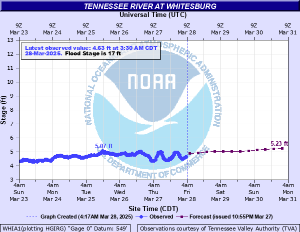
Latest Observation
Updated: 1:30 AM CST 12/15/25
Status: No Flooding
Stage: 3.74 ft
Flow: -999 kcfs
Forecast
| Time | Stage (ft) | Flow (kcfs) |
|---|---|---|
| 6 AM 12/15 | 3.7 | -999 |
| 12 PM 12/15 | 3.63 | -999 |
| 6 PM 12/15 | 3.57 | -999 |
| 12 AM 12/16 | 3.51 | -999 |
| 6 AM 12/16 | 3.45 | -999 |
| 12 PM 12/16 | 3.4 | -999 |
| 6 PM 12/16 | 3.7 | -999 |
| 12 AM 12/17 | 3.72 | -999 |
| 6 AM 12/17 | 3.73 | -999 |
| 12 PM 12/17 | 3.74 | -999 |
| 6 PM 12/17 | 3.76 | -999 |
| 12 AM 12/18 | 3.79 | -999 |
| 6 AM 12/18 | 3.8 | -999 |
| 12 PM 12/18 | 3.82 | -999 |
| 6 PM 12/18 | 3.49 | -999 |
| 12 AM 12/19 | 3.46 | -999 |
| 6 AM 12/19 | 3.44 | -999 |
| 12 PM 12/19 | 3.46 | -999 |
| 6 PM 12/19 | 3.48 | -999 |
| 12 AM 12/20 | 3.49 | -999 |
| 6 AM 12/20 | 3.22 | -999 |
| 12 PM 12/20 | 3.3 | -999 |
| 6 PM 12/20 | 3.33 | -999 |
| 12 AM 12/21 | 3.37 | -999 |
| 6 AM 12/21 | 3.18 | -999 |
| 12 PM 12/21 | 3.19 | -999 |
| 6 PM 12/21 | 3.16 | -999 |
| 12 AM 12/22 | 3.14 | -999 |
| Time | Stage (ft) | Flow (kcfs) |
|---|---|---|
| 1:30 AM 12/15 | 3.74 | -999 |
| 1:15 AM 12/15 | 3.75 | -999 |
| 1:00 AM 12/15 | 3.75 | -999 |
| 12:45 AM 12/15 | 3.76 | -999 |
| 12:30 AM 12/15 | 3.77 | -999 |
| 12:15 AM 12/15 | 3.79 | -999 |
| 12:00 AM 12/15 | 3.77 | -999 |
| 11:45 PM 12/14 | 3.79 | -999 |
| 11:30 PM 12/14 | 3.8 | -999 |
| 11:15 PM 12/14 | 3.79 | -999 |
| 11:00 PM 12/14 | 3.8 | -999 |
| 10:45 PM 12/14 | 3.8 | -999 |
| 10:30 PM 12/14 | 3.8 | -999 |
| 10:15 PM 12/14 | 3.81 | -999 |
| 10:00 PM 12/14 | 3.81 | -999 |
| 9:45 PM 12/14 | 3.82 | -999 |
| 9:30 PM 12/14 | 3.82 | -999 |
| 9:15 PM 12/14 | 3.82 | -999 |
| 9:00 PM 12/14 | 3.83 | -999 |
| 8:45 PM 12/14 | 3.83 | -999 |
| 8:30 PM 12/14 | 3.84 | -999 |
| 8:15 PM 12/14 | 3.86 | -999 |
| 8:00 PM 12/14 | 3.85 | -999 |
| 7:45 PM 12/14 | 3.85 | -999 |
| 7:30 PM 12/14 | 3.86 | -999 |
| 7:15 PM 12/14 | 3.88 | -999 |
| 7:00 PM 12/14 | 3.86 | -999 |
| 6:45 PM 12/14 | 3.88 | -999 |
| 6:30 PM 12/14 | 3.89 | -999 |
| 6:15 PM 12/14 | 3.88 | -999 |
24' -
Thousands of acres are flooded on both sides of the river. Homes are completely underwater and dozens of roads are flooded. Some access problems may exist on Redstone Arsenal due to backwater.
23' -
Hobbs Island is flooded. Backwaters may reach Highway 36 on Dry Creek near Laceys Spring. Hundreds of acres of land including homes and roads are flooded in northeastern Morgan County. Large portions of farmland in southeastern Madison County are flooded. Backwater flooding may reach some homes near Owens Cross Roads.
21' -
Backwater causes flooding on Redstone Arsenal. Significant flooding is occurring on the Morgan County side of the river with hundreds of acres and several homes and roads flooded.
19' -
The entrance to the Ditto Landing area is underwater...along with much of the boat harbor. Several roads in northeastern Morgan County are underwater...and water is beginning to approach a home on River Loop Road in the Laceys Spring Community.
17' -
Lowland flooding begins. Some access roads in the area become flooded. Water backed into Long Pond Slough begins to approach roads on the Morgan County side of the river.
14' -
The river starts to cover ramps at the Madison County Boat Harbor at Ditto Landing...as well as pastureland near the river. Backwater from Aldridge Creek covers part of the Ditto Landing Walking Trail. Water backs into sloughs near the river.
| Date | Stage (ft) |
|---|---|
| Mar 19, 1973 | 26.1 |
| Dec 25, 1990 | 24.8 |
| May 9, 2003 | 24.67 |
| Feb 2, 1957 | 23.93 |
| Mar 14, 1963 | 23.4 |
| Jan 1, 1927 | 23.2 |
| Jan 9, 1946 | 23.1 |
| Feb 15, 1948 | 23 |
| Jan 6, 1949 | 22.9 |
| Feb 25, 2019 | 22.9 |
| Apr 3, 1936 | 22.72 |
| Mar 30, 1994 | 22.4 |
| Dec 27, 2015 | 22.31 |
| Dec 11, 2004 | 22.03 |
| Feb 17, 1990 | 22 |
| Jan 23, 1954 | 22 |
| May 10, 1984 | 21.65 |
| Mar 30, 1929 | 21.3 |
| Jan 4, 1933 | 21.14 |
| Mar 15, 1975 | 20.9 |
Data provided by the National Weather Service.