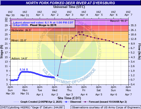
North Fork Forked Deer River at Dyersburg
Critical Stages
14' - Action
22' - Flood
26.5' - Moderate
29' - Major
Latest Observation
Updated: 1:00 AM CST 12/5/25
Status: No Flooding
Stage: 3.78 ft
Flow: 0.486 kcfs
Forecast
| Time | Stage (ft) | Flow (kcfs) |
|---|---|---|
| 6 AM 12/5 | 3.4 | 0.427 |
| 12 PM 12/5 | 3.3 | 0.416 |
| 6 PM 12/5 | 3.3 | 0.416 |
| 12 AM 12/6 | 3.3 | 0.416 |
| 6 AM 12/6 | 3.2 | 0.404 |
| 12 PM 12/6 | 3.2 | 0.404 |
| 6 PM 12/6 | 3.2 | 0.404 |
| 12 AM 12/7 | 3.2 | 0.404 |
| 6 AM 12/7 | 3.2 | 0.404 |
| 12 PM 12/7 | 3.2 | 0.404 |
| 6 PM 12/7 | 3.2 | 0.404 |
| 12 AM 12/8 | 3.2 | 0.404 |
| 6 AM 12/8 | 3.2 | 0.404 |
| 12 PM 12/8 | 3.2 | 0.404 |
| 6 PM 12/8 | 3.2 | 0.404 |
| 12 AM 12/9 | 3.2 | 0.404 |
| 6 AM 12/9 | 3.2 | 0.404 |
| Time | Stage (ft) | Flow (kcfs) |
|---|---|---|
| 2:00 AM 12/5 | 3.78 | 0.486 |
| 1:00 AM 12/5 | 3.78 | 0.486 |
| 12:00 AM 12/5 | 3.8 | 0.489 |
| 11:00 PM 12/4 | 3.82 | 0.492 |
| 10:00 PM 12/4 | 3.83 | 0.494 |
| 9:00 PM 12/4 | 3.83 | 0.494 |
| 8:00 PM 12/4 | 3.83 | 0.494 |
| 7:00 PM 12/4 | 3.84 | 0.496 |
| 6:00 PM 12/4 | 3.85 | 0.497 |
| 5:00 PM 12/4 | 3.84 | 0.496 |
| 4:00 PM 12/4 | 3.85 | 0.497 |
| 3:00 PM 12/4 | 3.86 | 0.499 |
| 2:00 PM 12/4 | 3.86 | 0.499 |
| 1:00 PM 12/4 | 3.88 | 0.503 |
| 12:00 PM 12/4 | 3.89 | 0.504 |
| 11:00 AM 12/4 | 3.91 | 0.508 |
| 10:00 AM 12/4 | 3.92 | 0.509 |
| 9:00 AM 12/4 | 3.94 | 0.513 |
| 8:00 AM 12/4 | 3.96 | 0.516 |
| 7:00 AM 12/4 | 3.97 | 0.518 |
| 6:00 AM 12/4 | 4 | 0.523 |
| 5:00 AM 12/4 | 4.03 | 0.528 |
| 4:00 AM 12/4 | 4.07 | 0.536 |
| 3:00 AM 12/4 | 4.11 | 0.543 |
| 2:00 AM 12/4 | 4.14 | 0.548 |
| 1:00 AM 12/4 | 4.2 | 0.559 |
| 12:00 AM 12/4 | 4.24 | 0.566 |
| 11:00 PM 12/3 | 4.27 | 0.572 |
| 10:00 PM 12/3 | 4.33 | 0.582 |
| 9:00 PM 12/3 | 4.38 | 0.591 |
30.5' -
Most of Dyersburg south of the river is flooded including houses, mobile homes, and businesses. Sections of Highway 412 are flooded. Evansville is flooded, mostly north of Highway 104. Most of Slaughter Pen Road is flooded. The area around Thomas Industries floods.
29' -
Highway 210 east of Four Points floods. Business Highway 51 floods just north of the bridge at the railroad tracks.
26' -
Flooding is occurring on the south side of Dyersburg. Water is flowing over Old Highway 51 in south Dyersburg.
24' -
Flooding is beginning in south Dyersburg. Several homes in southeast Dyersburg are surrounded by water and flood waters begin to cause access problems. Residents in this area should take necessary precautions.
23' -
Most low-lying areas south and southeast of Dyersburg are flooding. Water is beginning to flow over Bean Mill Road in southeast Dyersburg.
22' -
Flooding is occurring in farmland near the river.
14' -
Lowland flooding begins.
| Date | Stage (ft) |
|---|---|
| May 4, 2010 | 31.21 |
| Jan 1, 1937 | 30.91 |
| Apr 8, 2025 | 29.42 |
| May 5, 2011 | 27.34 |
| Mar 7, 1997 | 26.83 |
| Dec 24, 1990 | 26.8 |
| Dec 2, 2001 | 26.65 |
| Feb 13, 2019 | 26.2 |
| Feb 18, 2025 | 25.75 |
| Feb 25, 1971 | 25.3 |
| Dec 30, 1987 | 25 |
| Feb 18, 1989 | 24.3 |
| Dec 13, 1972 | 24.15 |
| Jan 1, 1988 | 24.02 |
| Dec 26, 1970 | 23.82 |
| May 12, 1998 | 23.73 |
| Apr 7, 2008 | 23.68 |
| Feb 17, 1948 | 23.56 |
| May 11, 2003 | 23.28 |
| Feb 2, 1969 | 23.22 |
Data provided by the National Weather Service.