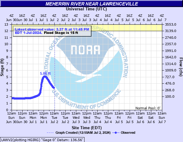
Meherrin River near Lawrenceville
Critical Stages
12' - Action
15' - Flood
25' - Moderate
29' - Major
Latest Observation
Updated: 2:45 PM EST 12/15/25
Status: No Flooding
Stage: 2.27 ft
Flow: 0.151 kcfs
Forecast
Forecast not available for this location.
| Time | Stage (ft) | Flow (kcfs) |
|---|---|---|
| 2:45 PM 12/15 | 2.27 | 0.151 |
| 2:30 PM 12/15 | 2.27 | 0.151 |
| 2:15 PM 12/15 | 2.27 | 0.151 |
| 2:00 PM 12/15 | 2.27 | 0.151 |
| 1:45 PM 12/15 | 2.27 | 0.151 |
| 1:30 PM 12/15 | 2.27 | 0.151 |
| 1:15 PM 12/15 | 2.28 | 0.153 |
| 1:00 PM 12/15 | 2.28 | 0.153 |
| 12:45 PM 12/15 | 2.28 | 0.153 |
| 12:30 PM 12/15 | 2.28 | 0.153 |
| 12:15 PM 12/15 | 2.28 | 0.153 |
| 12:00 PM 12/15 | 2.28 | 0.153 |
| 11:45 AM 12/15 | 2.28 | 0.153 |
| 11:30 AM 12/15 | 2.28 | 0.153 |
| 11:15 AM 12/15 | 2.28 | 0.153 |
| 11:00 AM 12/15 | 2.28 | 0.153 |
| 10:45 AM 12/15 | 2.29 | 0.154 |
| 10:30 AM 12/15 | 2.28 | 0.153 |
| 10:15 AM 12/15 | 2.29 | 0.154 |
| 10:00 AM 12/15 | 2.29 | 0.154 |
| 9:45 AM 12/15 | 2.29 | 0.154 |
| 9:30 AM 12/15 | 2.29 | 0.154 |
| 9:15 AM 12/15 | 2.29 | 0.154 |
| 9:00 AM 12/15 | 2.29 | 0.154 |
| 8:45 AM 12/15 | 2.29 | 0.154 |
| 8:30 AM 12/15 | 2.29 | 0.154 |
| 8:15 AM 12/15 | 2.29 | 0.154 |
| 8:00 AM 12/15 | 2.3 | 0.156 |
| 7:45 AM 12/15 | 2.3 | 0.156 |
| 7:30 AM 12/15 | 2.3 | 0.156 |
35' -
River stage sensor operating limit
29' -
Water flows over the Gholson Bridge on Iron Bridge Rd.
19' -
Diamond Grove Road becomes impassable at the Genito Creek Bridge due to high water.
15' -
Pasture land north of the river, downstream of the gage, begins to flood.
| Date | Stage (ft) |
|---|---|
| Aug 17, 1940 | 42 |
| Oct 7, 1972 | 32.99 |
| Apr 28, 1978 | 31.91 |
| Aug 28, 1908 | 31.9 |
| Oct 26, 1971 | 31.24 |
| Jun 2, 1889 | 31.2 |
| Apr 27, 1937 | 30.92 |
| May 28, 2003 | 30.25 |
| Oct 14, 2018 | 30.17 |
| Sep 18, 1999 | 29.97 |
| Nov 5, 1985 | 28.98 |
| Feb 27, 1979 | 28.89 |
| Jul 27, 1938 | 28.7 |
| Sep 20, 2003 | 28.67 |
| Mar 21, 1998 | 28.39 |
| Apr 18, 1987 | 28.26 |
| Sep 1, 2004 | 28.04 |
| Sep 8, 1996 | 27.71 |
| May 20, 2018 | 27.39 |
| Mar 5, 1993 | 27.39 |
Data provided by the National Weather Service.