« Back to Mc Connellstown Rivers
Juniata River at Huntingdon
Critical Stages
9' - Action
12' - Flood
13' - Moderate
15' - Major
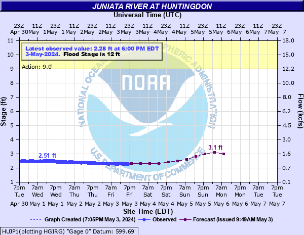
Latest Observation
Updated: 11:00 AM EST 12/8/25
Status: No Flooding
Stage: 1.43 ft
Flow: 0.303 kcfs
Forecast
| Time | Stage (ft) | Flow (kcfs) |
|---|---|---|
| 1 PM 12/8 | 1.4 | 0.288 |
| 7 PM 12/8 | 1.4 | 0.288 |
| 1 AM 12/9 | 1.4 | 0.288 |
| 7 AM 12/9 | 1.4 | 0.288 |
| 1 PM 12/9 | 1.4 | 0.288 |
| 7 PM 12/9 | 1.4 | 0.288 |
| 1 AM 12/10 | 1.4 | 0.288 |
| 7 AM 12/10 | 1.4 | 0.288 |
| 1 PM 12/10 | 1.4 | 0.288 |
| 7 PM 12/10 | 1.4 | 0.288 |
| 1 AM 12/11 | 1.7 | 0.452 |
| 7 AM 12/11 | 1.9 | 0.584 |
| Time | Stage (ft) | Flow (kcfs) |
|---|---|---|
| 11:00 AM 12/8 | 1.43 | 0.303 |
| 10:45 AM 12/8 | 1.43 | 0.303 |
| 10:30 AM 12/8 | 1.43 | 0.303 |
| 10:15 AM 12/8 | 1.43 | 0.303 |
| 10:00 AM 12/8 | 1.43 | 0.303 |
| 9:45 AM 12/8 | 1.43 | 0.303 |
| 9:30 AM 12/8 | 1.44 | 0.307 |
| 9:15 AM 12/8 | 1.43 | 0.303 |
| 9:00 AM 12/8 | 1.44 | 0.307 |
| 8:45 AM 12/8 | 1.44 | 0.307 |
| 8:30 AM 12/8 | 1.44 | 0.307 |
| 8:15 AM 12/8 | 1.43 | 0.303 |
| 8:00 AM 12/8 | 1.44 | 0.307 |
| 7:47 AM 12/8 | 1.43 | 0.303 |
| 7:45 AM 12/8 | 1.43 | 0.303 |
| 7:30 AM 12/8 | 1.43 | 0.303 |
| 7:15 AM 12/8 | 1.43 | 0.303 |
| 7:00 AM 12/8 | 1.43 | 0.303 |
| 6:45 AM 12/8 | 1.43 | 0.303 |
| 6:30 AM 12/8 | 1.43 | 0.303 |
| 6:15 AM 12/8 | 1.44 | 0.307 |
| 6:00 AM 12/8 | 1.44 | 0.307 |
| 5:45 AM 12/8 | 1.44 | 0.307 |
| 5:30 AM 12/8 | 1.44 | 0.307 |
| 5:15 AM 12/8 | 1.44 | 0.307 |
| 5:00 AM 12/8 | 1.44 | 0.307 |
| 4:45 AM 12/8 | 1.44 | 0.307 |
| 4:30 AM 12/8 | 1.44 | 0.307 |
| 4:15 AM 12/8 | 1.45 | 0.312 |
| 4:00 AM 12/8 | 1.45 | 0.312 |
30.5' -
Approximate level of the FEMA 0.2 0X0P+0nnual Chance Flood level (500-year flood).
26' -
Flood waters begin to reach the Route 26 and 4th Street Bridges in Huntingdon.
22.5' -
Flood of record in June 1899.
22' -
Widespread flooding occurs in areas not protected by the levee and railroad grade.
21' -
Approximate level of the FEMA 1 0X0P+0nnual Chance Flood level (100-year flood).
20' -
Widespread flooding occurs in areas not protected by the levee and railroad grade. Backwater on Standing Stone Creek approaches Route 26 in eastern parts of town.
19' -
Approximate level of the FEMA 2 0X0P+0nnual Chance Flood level (50-year flood).
17' -
Widespread flooding occurs in areas outside of the protective works and along Standing Stone Creek.
15' -
A number of homes outside the protective works and along Standing Stone Creek will flood. Backwater on Standing Stone Creek also affects the athletic field.
14.5' -
Approximate level of the FEMA 10 0X0P+0nnual Chance Flood level (10-year flood).
13' -
Several homes located outside of the levee system will flood.
12' -
High water will begin to affect the Ames Plaza on the right, or south bank.
| Date | Stage (ft) |
|---|---|
| Jun 1, 1889 | 22.5 |
| Mar 18, 1936 | 21.87 |
| Jun 23, 1972 | 20.03 |
| Sep 18, 2004 | 17.78 |
| Jan 19, 1996 | 15.95 |
| Dec 30, 1942 | 15.29 |
| Sep 11, 2018 | 14.94 |
| Nov 8, 1997 | 14.2 |
| Apr 4, 2024 | 13.52 |
| Feb 15, 1984 | 13.51 |
| Sep 9, 2004 | 13.45 |
| Nov 28, 1993 | 13.07 |
| Sep 2, 2021 | 12.54 |
| Dec 2, 2010 | 12.35 |
| Apr 17, 1993 | 12.13 |
| Mar 5, 1979 | 12.07 |
Data provided by the National Weather Service.