« Back to Mc Connellstown Rivers
Frankstown Branch Juniata River at Williamsburg
Critical Stages
9' - Action
12' - Flood
13' - Moderate
15' - Major
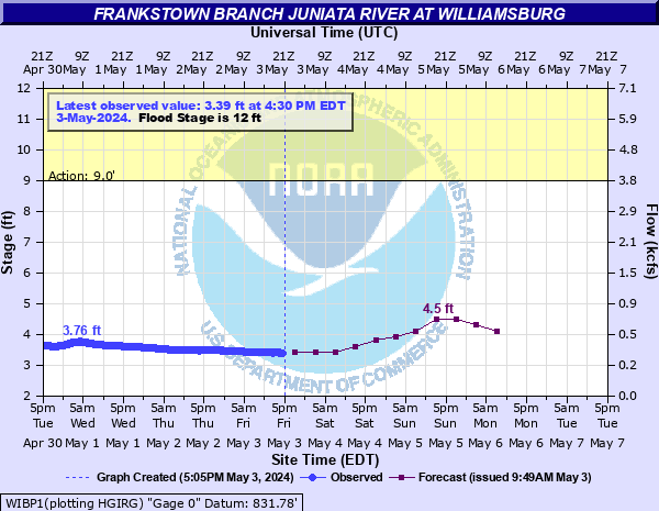
Latest Observation
Updated: 10:30 AM EST 12/8/25
Status: No Flooding
Stage: 2.64 ft
Flow: 0.103 kcfs
Forecast
| Time | Stage (ft) | Flow (kcfs) |
|---|---|---|
| 1 PM 12/8 | 2.6 | 0.097 |
| 7 PM 12/8 | 2.6 | 0.097 |
| 1 AM 12/9 | 2.6 | 0.097 |
| 7 AM 12/9 | 2.6 | 0.097 |
| 1 PM 12/9 | 2.6 | 0.097 |
| 7 PM 12/9 | 2.6 | 0.097 |
| 1 AM 12/10 | 2.6 | 0.097 |
| 7 AM 12/10 | 2.6 | 0.097 |
| 1 PM 12/10 | 2.6 | 0.097 |
| 7 PM 12/10 | 2.7 | 0.113 |
| 1 AM 12/11 | 3 | 0.171 |
| 7 AM 12/11 | 3.2 | 0.217 |
| Time | Stage (ft) | Flow (kcfs) |
|---|---|---|
| 10:30 AM 12/8 | 2.64 | 0.103 |
| 10:15 AM 12/8 | 2.64 | 0.103 |
| 10:00 AM 12/8 | 2.64 | 0.103 |
| 9:45 AM 12/8 | 2.64 | 0.103 |
| 9:30 AM 12/8 | 2.64 | 0.103 |
| 9:15 AM 12/8 | 2.64 | 0.103 |
| 9:00 AM 12/8 | 2.64 | 0.103 |
| 8:45 AM 12/8 | 2.64 | 0.103 |
| 8:30 AM 12/8 | 2.64 | 0.103 |
| 8:15 AM 12/8 | 2.64 | 0.103 |
| 8:00 AM 12/8 | 2.64 | 0.103 |
| 7:45 AM 12/8 | 2.64 | 0.103 |
| 7:30 AM 12/8 | 2.64 | 0.103 |
| 7:15 AM 12/8 | 2.64 | 0.103 |
| 7:00 AM 12/8 | 2.64 | 0.103 |
| 6:45 AM 12/8 | 2.64 | 0.103 |
| 6:30 AM 12/8 | 2.64 | 0.103 |
| 6:15 AM 12/8 | 2.64 | 0.103 |
| 6:00 AM 12/8 | 2.64 | 0.103 |
| 5:45 AM 12/8 | 2.64 | 0.103 |
| 5:30 AM 12/8 | 2.64 | 0.103 |
| 5:15 AM 12/8 | 2.64 | 0.103 |
| 5:00 AM 12/8 | 2.64 | 0.103 |
| 4:45 AM 12/8 | 2.64 | 0.103 |
| 4:30 AM 12/8 | 2.64 | 0.103 |
| 4:15 AM 12/8 | 2.64 | 0.103 |
| 4:00 AM 12/8 | 2.64 | 0.103 |
| 3:45 AM 12/8 | 2.64 | 0.103 |
| 3:30 AM 12/8 | 2.64 | 0.103 |
| 3:15 AM 12/8 | 2.64 | 0.103 |
26' -
FEMA 0.2 0X0P+0nnual Chance Flood Level (500-year flood).
22' -
FEMA 1 0X0P+0nnual Chance Flood Level (100-year flood).
21' -
FEMA 2 0X0P+0nnual Chance Flood Level (50-year flood). Flood waters begin to reach the Weller Road Bridge near Canoe Creek State Park.
19.5' -
Flood of record from the remnants of Hurricane Ivan in September 2004.
18' -
Most of Williamsburg is affected by high water. Very few houses on the right bank are above this level.
17.5' -
FEMA 10 0X0P+0nnual Chance Flood Level (10-year flood).
17' -
Many homes on the right, or south bank are affected by high water. The south approach to the highway bridge is unundated. A number of other streets and roads in the area are closed.
15' -
Many homes on the right, or south bank will be affected by high water.
13' -
Sections of route 866 from Williamsburg to Ganister are covered by flood waters.
12' -
The right, or south bank overflows. The Road near the river upstream of Williamsburg is inundated. A few homes experience basement flooding.
| Date | Stage (ft) |
|---|---|
| Sep 18, 2004 | 19.46 |
| Jan 19, 1996 | 19.15 |
| Jun 1, 1889 | 19.1 |
| Mar 18, 1936 | 18.58 |
| Jun 23, 1972 | 18.39 |
| Nov 8, 1997 | 18.2 |
| Sep 10, 2018 | 16.98 |
| Sep 9, 2004 | 16.91 |
| Sep 2, 2021 | 16.55 |
| Nov 28, 1993 | 16.08 |
| Apr 3, 2024 | 15.47 |
| Feb 15, 1984 | 15.38 |
| Dec 2, 2010 | 15.27 |
| Nov 13, 1970 | 14.5 |
| Feb 26, 1961 | 14.12 |
| Apr 16, 1993 | 14.08 |
| Sep 7, 2011 | 14.03 |
| Mar 1, 1954 | 13.98 |
| Oct 23, 1929 | 13.9 |
| Mar 18, 1937 | 13.9 |
Data provided by the National Weather Service.