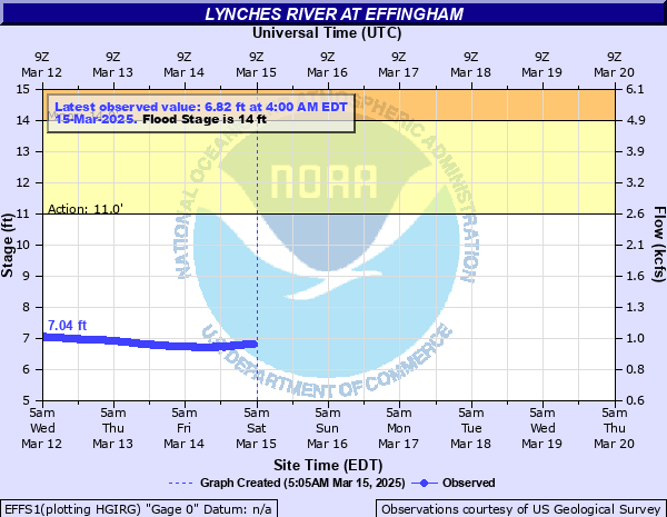
Lynches River at Effingham
Critical Stages
11' - Action
14' - Flood
16' - Moderate
18' - Major
Latest Observation
Updated: 10:00 PM EST 12/14/25
Status: No Flooding
Stage: 4.67 ft
Flow: 0.543 kcfs
Forecast
Forecast not available for this location.
| Time | Stage (ft) | Flow (kcfs) |
|---|---|---|
| 10:00 PM 12/14 | 4.67 | 0.543 |
| 9:45 PM 12/14 | 4.67 | 0.543 |
| 9:30 PM 12/14 | 4.68 | 0.545 |
| 9:15 PM 12/14 | 4.68 | 0.545 |
| 9:00 PM 12/14 | 4.68 | 0.545 |
| 8:45 PM 12/14 | 4.69 | 0.546 |
| 8:30 PM 12/14 | 4.69 | 0.546 |
| 8:15 PM 12/14 | 4.69 | 0.546 |
| 8:00 PM 12/14 | 4.69 | 0.546 |
| 7:45 PM 12/14 | 4.69 | 0.546 |
| 7:30 PM 12/14 | 4.7 | 0.548 |
| 7:15 PM 12/14 | 4.7 | 0.548 |
| 7:00 PM 12/14 | 4.71 | 0.55 |
| 6:45 PM 12/14 | 4.71 | 0.55 |
| 6:30 PM 12/14 | 4.71 | 0.55 |
| 6:15 PM 12/14 | 4.72 | 0.551 |
| 6:00 PM 12/14 | 4.71 | 0.55 |
| 5:45 PM 12/14 | 4.72 | 0.551 |
| 5:30 PM 12/14 | 4.73 | 0.553 |
| 5:15 PM 12/14 | 4.73 | 0.553 |
| 5:00 PM 12/14 | 4.73 | 0.553 |
| 4:45 PM 12/14 | 4.73 | 0.553 |
| 4:30 PM 12/14 | 4.73 | 0.553 |
| 4:15 PM 12/14 | 4.74 | 0.555 |
| 4:00 PM 12/14 | 4.74 | 0.555 |
| 3:45 PM 12/14 | 4.74 | 0.555 |
| 3:30 PM 12/14 | 4.75 | 0.556 |
| 3:15 PM 12/14 | 4.75 | 0.556 |
| 3:00 PM 12/14 | 4.75 | 0.556 |
| 2:45 PM 12/14 | 4.76 | 0.558 |
21' -
Near record flooding will occur.
18' -
Extensive flooding will occur.
17.5' -
Extensive flooding will occur along the river. In addition, flood waters will affect some residential areas up stream near the Sumter County line.
16.5' -
Water will enter some homes along Roundtree Road. Several homes will be isolated along North Old Georgetown, Roundtree, and Bengause Roads near Effingham and New Hope.
16' -
Flood waters will affect several homes along the river and isolate those residents without boats.
15.5' -
Flood waters will affect portions of North Old Georgetown, Roundtree and Bengause Roads near Effingham and New Hope. The roads will be impassable in places.
15' -
Flood waters will affect roads near Effingham and New Hope. North Old Georgetown, Roundtree and Bengause Roads will flood in low lying areas near the river.
14' -
Flooding will affect low lying areas along the river.
| Date | Stage (ft) |
|---|---|
| Sep 22, 1945 | 21.21 |
| Aug 30, 1908 | 20 |
| Oct 6, 2015 | 19.73 |
| Sep 24, 1928 | 19.4 |
| Oct 7, 1929 | 19.25 |
| Oct 18, 1990 | 18.85 |
| Jul 20, 1916 | 18.7 |
| Apr 12, 1936 | 18.66 |
| Dec 25, 1994 | 18.28 |
| Feb 21, 2021 | 17.95 |
| Oct 10, 2016 | 17.76 |
| Jun 2, 2020 | 17.71 |
| Jan 24, 1892 | 17.5 |
| Mar 2, 1979 | 17.45 |
| Mar 5, 1971 | 17.44 |
| Mar 4, 1939 | 17.39 |
| Mar 10, 1929 | 17.3 |
| Mar 12, 1922 | 17.3 |
| Mar 24, 1983 | 17.25 |
| Jan 24, 1925 | 17.2 |
Data provided by the National Weather Service.