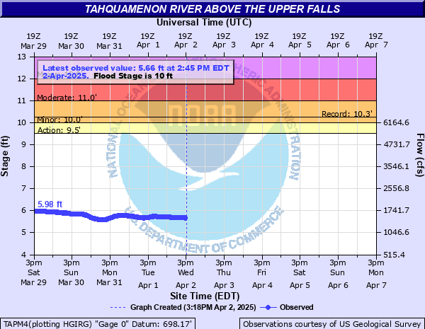
Tahquamenon River near Paradise
Critical Stages
9.5' - Action
10' - Flood
11' - Moderate
12' - Major
Latest Observation
Updated: 12:45 AM EST 12/17/25
Status: No Flooding
Stage: 3.98 ft
Flow: 0.548 kcfs
Forecast
Forecast not available for this location.
| Time | Stage (ft) | Flow (kcfs) |
|---|---|---|
| 12:45 AM 12/17 | 3.98 | 0.548 |
| 12:30 AM 12/17 | 3.97 | 0.544 |
| 12:15 AM 12/17 | 3.97 | 0.544 |
| 12:00 AM 12/17 | 3.97 | 0.544 |
| 11:45 PM 12/16 | 3.97 | 0.544 |
| 11:30 PM 12/16 | 3.97 | 0.544 |
| 11:15 PM 12/16 | 3.98 | 0.548 |
| 11:00 PM 12/16 | 3.98 | 0.548 |
| 10:45 PM 12/16 | 3.98 | 0.548 |
| 10:30 PM 12/16 | 3.98 | 0.548 |
| 10:15 PM 12/16 | 3.98 | 0.548 |
| 10:00 PM 12/16 | 3.99 | 0.553 |
| 9:45 PM 12/16 | 3.98 | 0.548 |
| 9:30 PM 12/16 | 3.98 | 0.548 |
| 9:15 PM 12/16 | 3.98 | 0.548 |
| 9:00 PM 12/16 | 3.98 | 0.548 |
| 8:45 PM 12/16 | 3.98 | 0.548 |
| 8:30 PM 12/16 | 3.98 | 0.548 |
| 8:15 PM 12/16 | 3.98 | 0.548 |
| 8:00 PM 12/16 | 3.98 | 0.548 |
| 7:45 PM 12/16 | 3.98 | 0.548 |
| 7:30 PM 12/16 | 3.98 | 0.548 |
| 7:15 PM 12/16 | 3.99 | 0.553 |
| 7:00 PM 12/16 | 4 | 0.557 |
| 6:45 PM 12/16 | 3.99 | 0.553 |
| 6:30 PM 12/16 | 3.98 | 0.548 |
| 6:15 PM 12/16 | 3.99 | 0.553 |
| 6:00 PM 12/16 | 3.99 | 0.553 |
| 5:45 PM 12/16 | 3.98 | 0.548 |
| 5:30 PM 12/16 | 3.98 | 0.548 |
10.26' -
The river is at the high water mark set in May of 1960. No known significant flooding impacts are known for river heights at or below this stage
9.5' -
The river exceeds bankfull stage
| Date | Stage (ft) |
|---|---|
| May 10, 1960 | 10.26 |
| Apr 25, 1985 | 10.07 |
| May 4, 1972 | 9.96 |
| Apr 19, 2023 | 9.95 |
| Apr 25, 2019 | 9.9 |
| May 4, 2014 | 9.66 |
| Apr 23, 1971 | 9.59 |
| Apr 19, 2002 | 9.55 |
| Apr 21, 2008 | 9.48 |
| Apr 26, 1957 | 9.43 |
| Apr 17, 2022 | 9.43 |
| Apr 10, 1988 | 9.42 |
| Apr 21, 1977 | 9.33 |
| Apr 26, 1979 | 9.28 |
| Apr 10, 1986 | 9.17 |
| Apr 18, 1976 | 9.17 |
| Apr 18, 2001 | 9.17 |
| Apr 27, 1996 | 9.1 |
| Apr 23, 2003 | 9.09 |
| Apr 22, 1969 | 9.09 |
Data provided by the National Weather Service.