Wisconsin River at Muscoda
Critical Stages
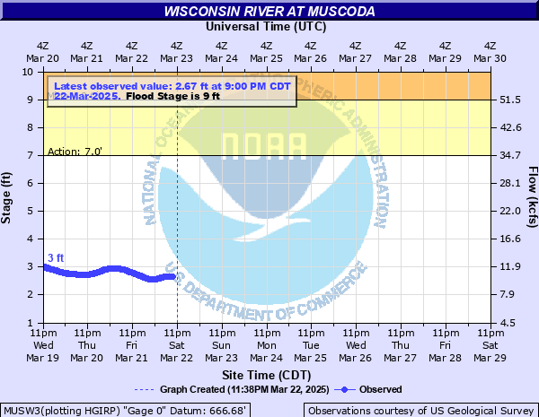
7' - Action
9' - Flood
10' - Moderate
11' - Major
Latest Observation
Updated: 3:00 AM CST 12/7/25
Status: No Flooding
Stage: 1.28 ft
Flow: 4.59 kcfs
Forecast
Forecast not available for this location.
| Time | Stage (ft) | Flow (kcfs) |
|---|---|---|
| 3:00 AM 12/7 | 1.28 | 4.59 |
| 2:45 AM 12/7 | 1.27 | 4.56 |
| 2:30 AM 12/7 | 1.27 | 4.56 |
| 2:15 AM 12/7 | 1.27 | 4.56 |
| 2:00 AM 12/7 | 1.26 | 4.53 |
| 1:45 AM 12/7 | 1.26 | 4.53 |
| 1:30 AM 12/7 | 1.26 | 4.53 |
| 1:15 AM 12/7 | 1.26 | 4.53 |
| 1:00 AM 12/7 | 1.25 | 4.5 |
| 12:45 AM 12/7 | 1.25 | 4.5 |
| 12:30 AM 12/7 | 1.24 | 4.47 |
| 12:15 AM 12/7 | 1.25 | 4.5 |
| 12:00 AM 12/7 | 1.25 | 4.5 |
| 11:45 PM 12/6 | 1.24 | 4.47 |
| 11:30 PM 12/6 | 1.25 | 4.5 |
| 11:15 PM 12/6 | 1.24 | 4.47 |
| 11:00 PM 12/6 | 1.24 | 4.47 |
| 10:45 PM 12/6 | 1.25 | 4.5 |
| 10:30 PM 12/6 | 1.24 | 4.47 |
| 10:15 PM 12/6 | 1.24 | 4.47 |
| 10:00 PM 12/6 | 1.25 | 4.5 |
| 9:45 PM 12/6 | 1.25 | 4.5 |
| 9:30 PM 12/6 | 1.25 | 4.5 |
| 9:15 PM 12/6 | 1.25 | 4.5 |
| 9:00 PM 12/6 | 1.25 | 4.5 |
| 8:45 PM 12/6 | 1.25 | 4.5 |
| 8:30 PM 12/6 | 1.25 | 4.5 |
| 8:15 PM 12/6 | 1.25 | 4.5 |
| 8:00 PM 12/6 | 1.25 | 4.5 |
| 7:45 PM 12/6 | 1.25 | 4.5 |
13.8' -
The water reaches the low steel on the Highway 80 Bridge over the river.
11' -
Widespread lowland flooding is likely, but the town of Muscoda should remain above the flood waters.
10' -
There is extensive lowland flooding. However no flooding has been reported in Muscoda in previous years.
9.6' -
Homes on W Lakeshore Drive and E Lakeshore Drive along Avoca Lake (inlet of Wisconsin River) begin sandbagging.
9.5' -
Flooding may impact some homes in Boscobel.
9' -
The river begins to go out of its banks in some locations with only minor flooding.
| Date | Stage (ft) |
|---|---|
| Sep 16, 1938 | 11.48 |
| Jun 11, 1881 | 11.1 |
| Apr 16, 1922 | 10.6 |
| Mar 20, 1973 | 10.36 |
| Jun 26, 1993 | 10.34 |
| May 12, 1960 | 10.17 |
| Apr 2, 1920 | 10.1 |
| Apr 14, 1951 | 9.95 |
| Mar 29, 1935 | 9.9 |
| Oct 3, 1986 | 9.77 |
| Jun 6, 1943 | 9.64 |
| Sep 30, 2010 | 9.57 |
| Sep 22, 1928 | 9.5 |
| Apr 24, 2019 | 9.48 |
| Apr 7, 1967 | 9.47 |
| Apr 14, 1929 | 9.3 |
| Jun 7, 1942 | 9.3 |
| Mar 13, 1983 | 9.28 |
| Apr 29, 1916 | 9.2 |
| Jul 1, 1940 | 9.15 |
Data provided by the National Weather Service.